Near Wadsworth in Washoe County, Nevada — The American Mountains (Southwest)
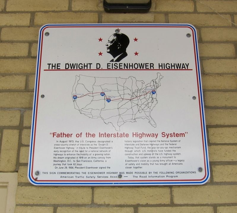
The Dwight D. Eisenhower Highway
"Father of the Interstate Highway System"
Photographed by Andrew Ruppenstein, March 21, 2016
1. The Dwight D. Eisenhower Highway Marker
On June 29, 1956, President Eisenhower signed the historic legislation that created the National System of Interstate and Defense Highways and the Federal Highway Trust Fund, the pay-as-you-go mechanism through which U.S. motorists have funded the construction and upkeep of the U.S. highway system.
Today, that system stands as a monument to Eisenhower’s vision as a young Army officer—a legacy of safety and mobility that has brought all Americans closer together.
Erected by American Traffic Safety Services Association.
Topics and series. This historical marker is listed in this topic list: Roads & Vehicles. In addition, it is included in the Former U.S. Presidents: #34 Dwight D. Eisenhower series list. A significant historical date for this entry is June 29, 1956.
Location. 39° 36.183′ N,
this page online

Regionally, this marker is in the Sierra Nevada, in the Lake Tahoe Basin, and in Greater Reno Area. It is also in the American Mountain West. Globally, it is in North America, the Western Hemisphere, the Western World, and the Anglosphere. Historically, it finds itself in what was once New Spain and also Mexico’s Alta California.
Other nearby markers. At least 8 other markers are within 8 miles of this marker, measured as the crow flies: Olinghouse (a few steps from this marker); The First Drink of Cold Water (within shouting distance of this marker); Truckee Trail - River Crossings (within shouting distance of this marker); Wadsworth (approx. 3.6 miles away); Rush to the River (approx. 5.3 miles away); America's First Transcontinental Highway (approx. 5.9 miles away); Truckee Trail - Act of Mercy (approx. 6.1 miles away); Truckee Trail - Dead Cattle / T.R.R. 6 - Trail Turning Point
Photographed by Andrew Ruppenstein, March 21, 2016
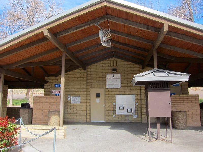
2. The Dwight D. Eisenhower Highway Marker - wide view
Located conveniently close to the bathrooms. Just in case....
More about this marker. The marker is mounted to the exterior (south) wall of restrooms at the Wadsworth Rest Stop (Westbound).
Credits. This page was last revised on December 19, 2019. It was originally submitted on December 19, 2019, by Andrew Ruppenstein of Lamorinda, California. This page has been viewed 527 times since then and 35 times this year. Photos: 1, 2. submitted on December 19, 2019, by Andrew Ruppenstein of Lamorinda, California.
