Sault Ste. Marie in Chippewa County, Michigan — The American Midwest (Great Lakes)
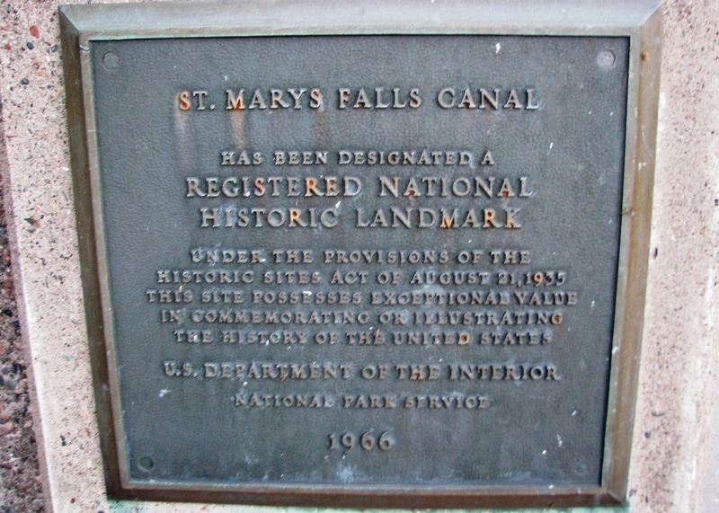
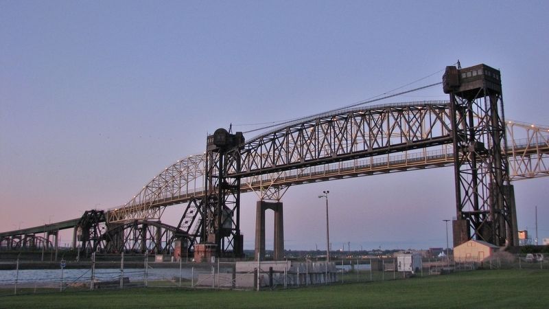
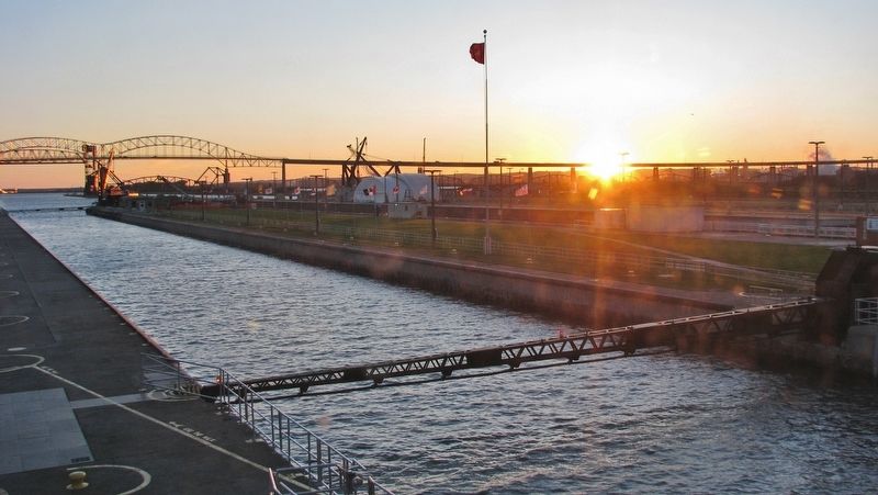
St. Marys Falls Canal
has been designated a
Registered National
Historic Landmark
Under the provisions of the
Historic Sites Act of August 21, 1935
this site possesses exceptional value
in commemorating or illustrating
the history of the United States
U.S. Department of the Interior
National Park Service
1966
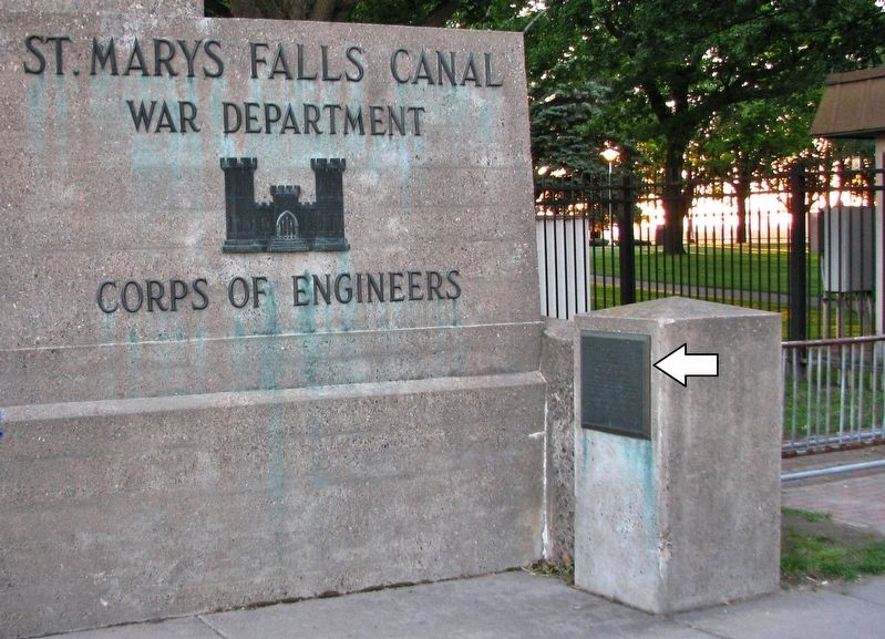
Erected 1966.
Topics and series. This historical marker is listed in these topic lists: Bridges & Viaducts • Landmarks • Waterways & Vessels. In addition, it is included in the National Historic Landmarks series list.
Location. 46° 30.086′ N, 84° 20.957′ W. Marker is in Sault Ste. Marie, Michigan, in Chippewa County. Marker is on West Portage Avenue west of Osborn Boulevard, on the right when traveling west. Marker is located near the sidewalk, about 100 yards east of the Soo Locks Visitor Center. Touch for map. Marker is at or near this postal address: 312 West Portage Avenue, Sault Sainte Marie MI 49783, United States of America. Touch for directions.
Other nearby markers. At least 8 other markers are within walking distance of this marker. Making a Grand Entrance (within shouting distance of this marker); Heavy traffic on Portage Avenue (within shouting distance of this marker); Historic Sault Ste. Marie (within shouting distance of this marker); Saw Mill (within shouting distance of this marker); Cornerstone for new technology (within shouting distance of this marker); Governor Chase S. Osborn Memorial (within shouting distance of this marker); Propeller from tug Marquette (about 400 feet away, measured in a direct line); Water Street Businesses in the Late 1800s (about 400 feet away). Touch for a list and map of all markers in Sault Ste. Marie.
Regarding St. Marys Falls Canal. State Register of Historic Sites (1959); National Historic Landmark (1966); National Register of Historic Places #66000394 (1966)
Also see . . .
1. Saint Marys Falls Ship Canal. The property is important for its contribution to the industry and commerce of the United States by providing an inexpensive and convenient transportation route to and from the upper Great Lakes. The locks are also significant engineering feats, having required much time, organization, and capital investment to design and operate them. (Submitted on December 20, 2019, by Cosmos Mariner of Cape Canaveral, Florida.)
2. Soo Locks (Wikipedia).
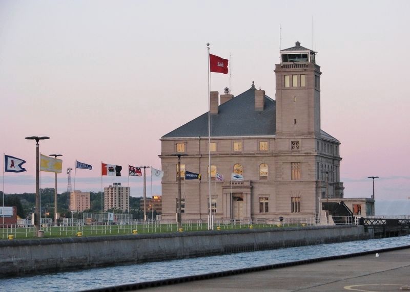
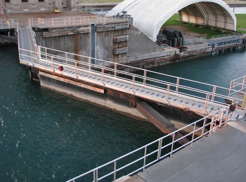
The Sault Locks, (pronounced "soo") are located on the St. Marys River between Lake Superior and Lake Huron, between the Upper Peninsula of the US state of Michigan and the Canadian province of Ontario. They bypass the rapids of the river, where the water falls 21 feet. The locks pass an average of 10,000 ships per year, despite being closed during the winter from January through March, when ice shuts down shipping on the Great Lakes. (Submitted on December 20, 2019, by Cosmos Mariner of Cape Canaveral, Florida.)
Credits. This page was last revised on December 7, 2020. It was originally submitted on December 20, 2019, by Cosmos Mariner of Cape Canaveral, Florida. This page has been viewed 368 times since then and 33 times this year. Photos: 1, 2, 3, 4, 5, 6. submitted on December 20, 2019, by Cosmos Mariner of Cape Canaveral, Florida.
