Parsons in Decatur County, Tennessee — The American South (East South Central)
Divided Loyalties
Decatur County during the Civil War
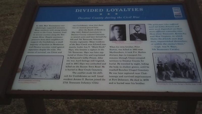
Photographed by David Austin, December 20, 2019
1. Divided Loyalties Marker
After the Battle of Shiloh in May 1862, Federal recruiters in Decatur County enlisted Unionists in several units and later formed the 6th and 7th Tennessee Volunteer Cavalry regiments. Many residents of the Bear Creek area followed community leader Asa N. "Black Hawk" Hays, who became a captain in the 7th Tennessee. Hays was later captured at Union City and imprisoned in Richmond's Libby Prison. After the war, hard feelings still lingered, and in 1887, Hays was ambushed and killed on the Rosson Town Road. He is buried in Bear Creek Cemetery.
The conflict made life difficult for Confederates as well. Local resident Jerome S. Burton joined the 27th Tennessee Infantry (CSA).
this page online
"The prisoners who suffered most [at Libby Prison] and were most dependent on their more affluent comrades were those from Tennessee, Kentucky and West Virginia, in which states their friends were fugitives, impoverished themselves, or within the enemy's lines. —Capt. Asa N. Hays, 7th Tennessee Cavalry
Erected by Tennessee Civil War Trails.
Topics and series. This historical marker is listed in this topic list: War, US Civil. In addition, it is included in the Tennessee Civil War Trails series list. A significant historical month for this entry is May 1862.
Location. 35° 38.53′ N, 88° 7.375′ W. Marker is in Parsons, Tennessee, in Decatur County. It can be reached from the intersection of South Tennessee Avenue (U.S.
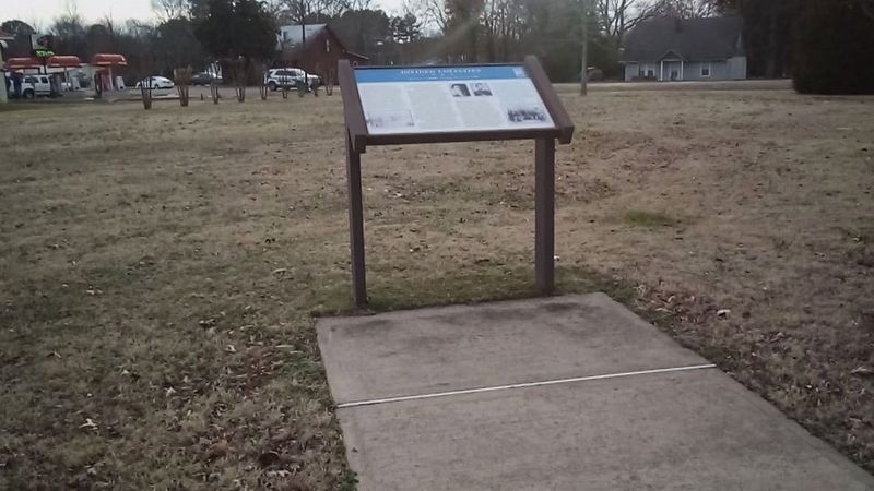
Photographed by David Austin, December 20, 2019
2. Divided Loyalties Marker

Regionally, this marker is in West Tennessee. It is also in the American South and specifically in the Upper South. Globally, it is in North America, the Western Hemisphere, the Western World, and the Anglosphere. Historically, it finds itself in what was once the territory of the Mississippian Culture, one of the Confederate States of America, and the Antebellum South.
Other nearby markers. At least 8 other markers are within 5 miles of this marker, measured as the crow flies: Little David Wilkins (within shouting distance of this marker); Revolutionary War Veterans Monument (approx. 4 miles away); Confederate Veterans Memorial (approx. 4 miles away); Decatur Countians who have served in the Tennessee Senate (approx. 4 miles away); Decatur County Veterans Monument (approx. 4 miles away); Brownsport Furnace (approx. 4 miles away); Site of Decatur County School Gymnasium (approx. 4.1 miles away); Decatur County Training School Crowder High School 1925-1965 (approx. 4.3 miles away). Touch for a list and map of all markers in Parsons.
Another marker is no longer nearby. The "Pea Vine" / Parsons A Railroad Town (was approx. half a mile away but has been confirmed missing).
Credits. This page was last revised on November 10, 2024. It was originally submitted on December 20, 2019, by David Austin of Scotts Hill, Tennessee. This page has been viewed 859 times since then and 25 times this year. Photos: 1, 2. submitted on December 20, 2019, by David Austin of Scotts Hill, Tennessee. • Bernard Fisher was the editor who published this page.
