Angeles National Forest near Santa Clarita in Los Angeles County, California — The American West (Pacific Coastal)
St. Francis Dam Disaster Site
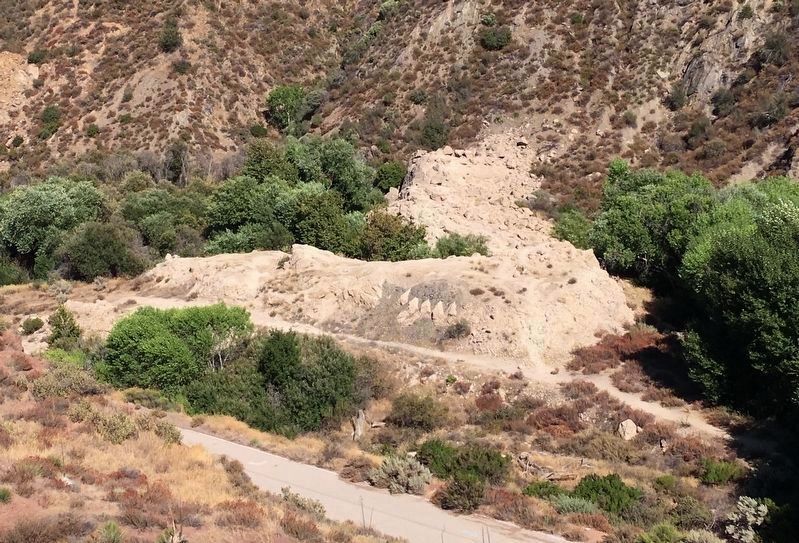
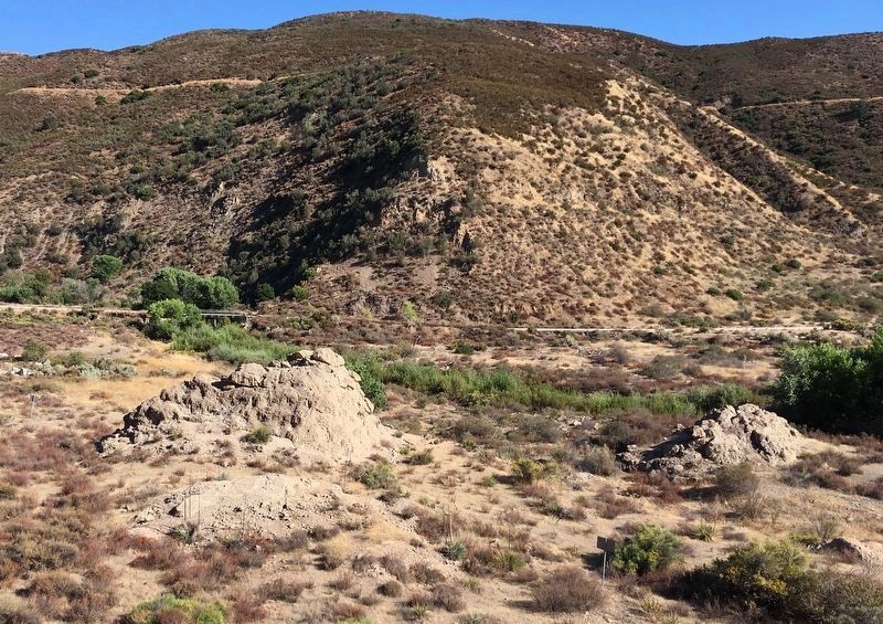
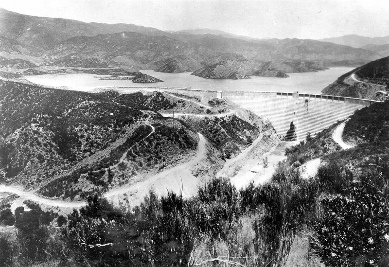
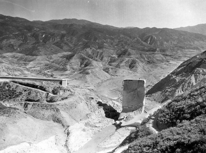
At 11:57˝ P.M. March 12, 1928, the dam collapsed causing the second greatest disaster in the state of California. At least 425 lives were lost in the 3˝ hours that it took the released water to travel 54 miles down the Santa Clara River Valley to the sea at Ventura.
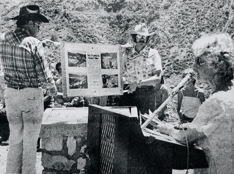
This plaque placed by Santa Clarita Valley Historical Society March 12, 1978 (State Historical Status Pending)
Erected 1978 by Santa Clarita Valley Historical Society.
Topics. This historical marker is listed in these topic lists: Disasters • Industry & Commerce • Man-Made Features. A significant historical date for this entry is March 12, 1928.
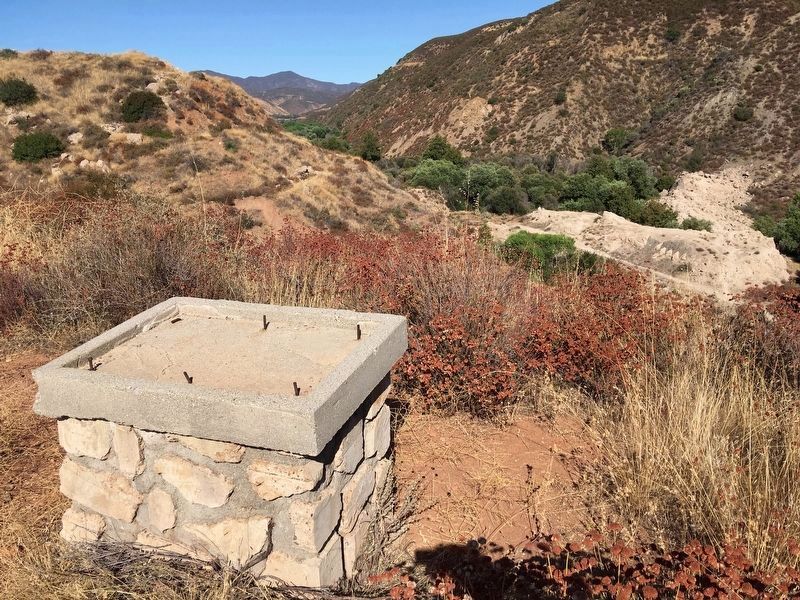
Location. Marker has been reported missing. It was located near 34° 32.814′ N, 118° 30.867′ W. Marker was near Santa Clarita, California, in Los Angeles County. It was in Angeles National Forest. Marker could be reached from San Francisquito Canyon Road, 0.3 miles south of San Francisquito Motorway. Touch for map. Marker was at or near this postal address: 32300 San Francisquito Canyon Road, Santa Clarita CA 91390, United States of America. Touch for directions.
Other nearby markers. At least 8 other markers are within 10 miles of this location, measured as the crow flies. A different marker also named St. Francis Dam Disaster Site (approx. one mile away); St. Francis Dam (approx. 1.1 miles away); Power Plant No. 1 (approx. 4.4 miles away); Tesoro Adobe (approx. 5.6 miles away); The Ridge Route (approx. 8.7 miles away); Newhall Incident (approx. 8.9 miles away); Rancho San Francisco (approx. 9 miles away); Oak of the Golden Dream (approx. 9.1 miles away). Touch for a list and map of all markers in Santa Clarita.
More about this marker. The marker was stolen in 1978, soon after it was installed.
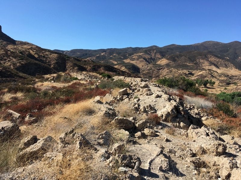
The stone monument is southwest of the dam site on a remote ridge with no maintained trail to the site.
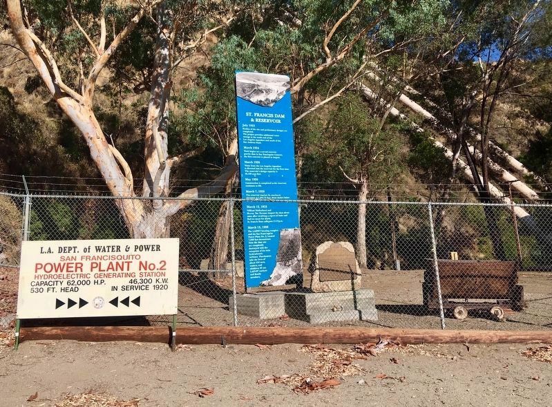
This marker was replaced in 1979 with California Historical Landmark No. 919, located 1˝ miles south of the dam site at Power Plant 2, visible through a chain-link fence.
This was America's worst civil engineering failure of the 20th Century.
On March 12, 2019, the Saint Francis Dam Disaster National Monument was established. Fundraising is underway to build a visitor center at the site.
Related markers. Click here
for a list of markers that are related to this marker. — St. Francis Dam disaster sites.
Also see . . . St. Francis Dam Disaster. SCVHistory.com website. (Submitted on September 10, 2019.)
Credits. This page was last revised on March 30, 2024. It was originally submitted on September 10, 2019, by Craig Baker of Sylmar, California. This page has been viewed 1,506 times since then and 101 times this year. Last updated on December 21, 2019, by Craig Baker of Sylmar, California. Photos: 1, 2, 3, 4, 5, 6. submitted on September 10, 2019, by Craig Baker of Sylmar, California. 7, 8. submitted on September 11, 2019, by Craig Baker of Sylmar, California. • Syd Whittle was the editor who published this page.
