Magnolia Church and the Battle along the Rodney Road
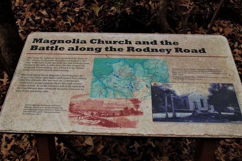
After firing the nighttime opening shots of the Battle of Port Gibson, Confederate skirmishers retreated to the ridge behind you to join the battle line that General Green formed in the dark. A volley from this line stopped the advancing Union' soldiers, who fell back to the Shaifer house and waited uneasily until morning.
The Confederate line at Magnolia Church became the focus of the Union right flank's push toward Port Gibson. After this defensive line was overrun, Confederates established a second position where this road crosses Centers Creek. As on the northern half of the battlefield, the Confederates were eventually forced to retreat in the face of overwhelming odds.
Photo captions
Lower: After breaking the Confederate line behind Magnolia Church, a second defensive line where this road crosses a branch of Centers Creek, Union General Logan's Corps marched into Port Gibson on May 2.
Right: Soon after the war, the Baptist congregation of Magnolia Church moved to town, and the building and land reverted to the Shaifer family, who in turn sold it to an African American congregation for one dollar. (below)
In many accounts, the battle--especially this portion of it-- is referred to as the Battle of Magnolia Church.
Topics.
this page online
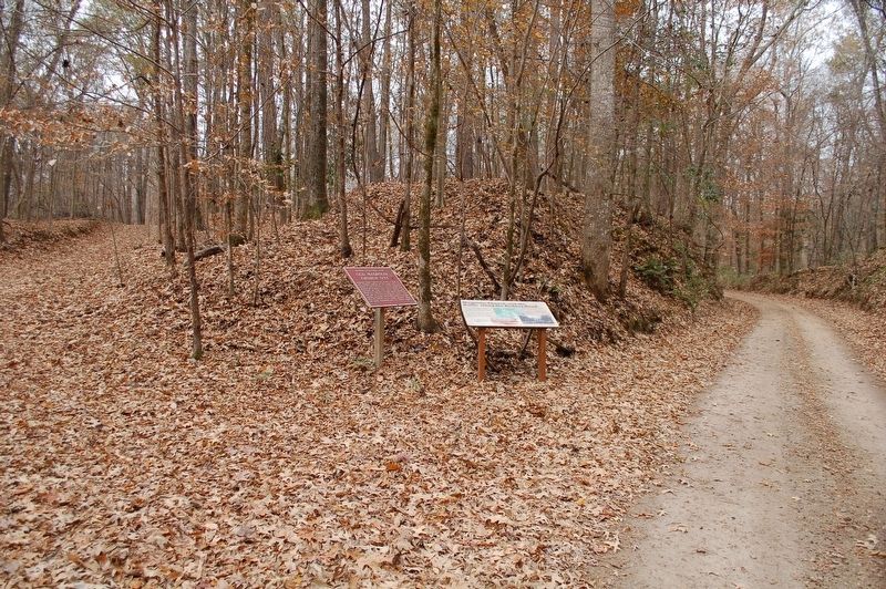
Location. 31° 56.677′ N, 91° 1.864′ W. Marker is in Port Gibson, Mississippi, in Claiborne County. It is on Shaifer Road half a mile west of Bessie Weathers Road, on the left when traveling west. Touch for map. Marker is in this post office area: Port Gibson MS 39150, United States of America. Touch for directions.

Regionally, this marker is in Southwest Mississippi, in Natchez Trace Corridor, and in Greater Jackson. It is also in the American South, specifically in the Deep South, and in the Great River Road Region. Globally, it is in North America, a Gulf of Mexico state, the Western Hemisphere, the Western World, and the Anglosphere. Historically, it finds itself in what was once New Spain, the territory of the Mississippian Culture, one of the Confederate States of America, and the Antebellum South.
Other nearby markers. At least 8 other markers are within walking distance of this marker: Old Magnolia Church Site (here, next to this marker); Battle of Port Gibson
Credits. This page was last revised on December 22, 2019. It was originally submitted on December 22, 2019, by Cajun Scrambler of Assumption, Louisiana. This page has been viewed 1,043 times since then and 66 times this year. Photos: 1, 2. submitted on December 22, 2019, by Cajun Scrambler of Assumption, Louisiana.
