Port Morien in Cape Breton Region, Nova Scotia — The Atlantic Provinces (North America)
Morien's Legacy
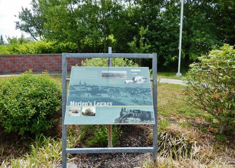
The Port Morien Project
In the year 2000, a group of interested citizens met to revive an organization in the community, the Port Morien Development Association. It was an organization active in the late 1960s and early 1970s. On February 9, 2000, a public meeting was called, and those attending formed an association dedicated to the enhancement of the village of Port Morien and the immediate surrounding areas. A number of projects were started and discussed, and by 2003, the organization sought funding to effect infrastructure improvements throughout the community. In 2004, with the support of Enterprise Cape Breton Corporation, Cape Breton County Economic Development Authority, and the Cape Breton Regional Municipality, an impressive village enhancement project was announced, and construction of this town square and other related developments began shortly thereafter.
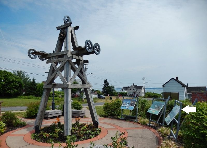
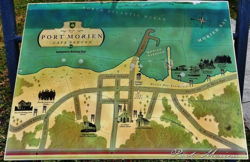
As part of the project, plaques would be constructed and placed throughout the community depicting sites of historic significance. The Town Square, where you are now located, is the site of a number of these. A map is located here that identifies the locations of each of these panels.
It is the sincere wish of the people of this community that you enjoy a walk through this beautiful village, enjoy our various points of interest, and gain a sense of appreciation of the heritage of the village of Port Morien.
(photo captions)
1. 19th Century Cow Bay.
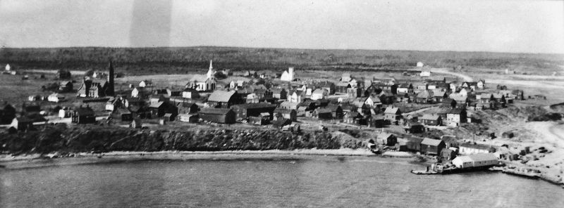
2. Aerial View of Port Morien 1944 or 1945.
3. Port Morien looking east, 1895, with OJ Spencer's store in the foreground.
4. Corner of Breakwater and Main Street, circa 1920.
5. Main Street Port Morien, looking east, early 20th century.
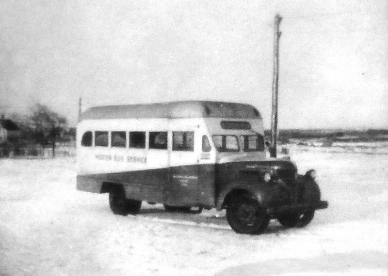
6. Port Morien Bus Service, popular in the days when every family didn't have its own car.
7. Sydney & Louisbourg railway Port Morien Station.
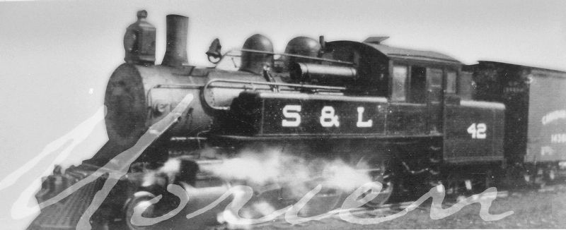
8. Cape Breton Development Corporation steam train that ran to Port Morien from 1974 until 1979.
Erected by Enterprise Cape Breton Corporation, Cape Breton County Economic Development Authority, and the Cape Breton Regional Municipality.
Topics. This historical marker is listed in these topic lists: Charity & Public Work • Parks & Recreational Areas.
Location. 46° 8.009′ N, 59° 52.368′ W. Marker is in Port Morien, Nova Scotia, in Cape Breton Region. Marker is at the intersection of Marconi Trail (Nova Scotia Route 255) and Breakwater Street, on the right when traveling north on Marconi Trail. Marker is located in a roadside interpretive plaza at the southeast
corner of the intersection. Touch for map. Marker is in this post office area: Port Morien NS B1B 1A8, Canada. Touch for directions.
Other nearby markers. At least 8 other markers are within walking distance of this marker. Morien Institutions (here, next to this marker); Morien Businesses of the Past (here, next to this marker); Flint Island Light Station (approx. 0.4 kilometers away); Gowrie and North Atlantic Collieries (approx. half a kilometer away); The Fishery in Port Morien (approx. half a kilometer away); Morien Bay (approx. half a kilometer away); First Boy Scout Troop in North America (approx. 0.6 kilometers away); The First Coal Workings in North America (approx. 0.6 kilometers away). Touch for a list and map of all markers in Port Morien.
Related markers. Click here for a list of markers that are related to this marker. Port Morien Interpretive Walking Tour
Credits. This page was last revised on January 2, 2020. It was originally submitted on January 2, 2020, by Cosmos Mariner of Cape Canaveral, Florida. This page has been viewed 220 times since then and 20 times this year. Photos: 1, 2, 3, 4, 5, 6, 7. submitted on January 2, 2020, by Cosmos Mariner of Cape Canaveral, Florida.

