
The Quandary of Freedom
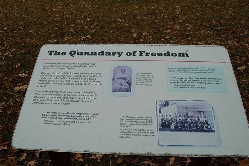
After Grant's army came ashore at Bruinsburg, each enslaved person in this area was faced with a decision: whether or not to flee to freedom.
Directly in the path of the Union army, the slaves who lived and worked on the Shaifer farm certainly faced that dilemma. On the night of the Shaifer's' evacuation, a slave named Mary and her two grown children accompanied the Shaifer household to town. Mary remained with the Shaifers the rest of her life.
Other enslaved people chose to leave some joined the Union army at the Grand Gulf recruiting station or simply followed the army; others sought refuge in Vicksburg once it was under Union control. In the end, many freedmen returned to plantations as laborers.
"The scenes were appalling; the refugees were crowded together, sickly, disheartened, dying on the streets, not a family of them all either well-sheltered, clad or fed."
John Eaton to Levi Coffin, July 5, 1864, describing African American refugees in Vicksburg.
An account written by a white neighbor of the Shaifers refers to the migration of blacks in the weeks following the battle. This passage discusses to Elsie, an
this page online
'Wednesday, May 27th Jack trying to persuade Elsie to leave,... She tells him to get her a home and a way of earning her living, and she is ready to go, but not before."
Elizabeth Mead Ingraham, in "Recollections of Henry Watkin Allen"
Photo Captions
Top Photo:
Mary is remembered by the Shaifer family as a stable influence on the Shaifer children, who lost their mother and grandmother while they were still young.
Bottom Photo:
These African Americans participating in an Emancipation Day celebration, ca. 1890, are Union veterans of the Civil War, probably recruited from the plantations of this region. In the last year and a half of the war, the Union could not have sustained the fight in Mississippi without the contributions of black soldiers.
Topics. This historical marker is listed in these topic lists: African Americans • War, US Civil.
Location. 31° 56.892′ N, 91° 2.16′ W. Marker is in Port Gibson, Mississippi, in Claiborne County. It can be reached from Shaifer Road 1½ miles west of Bessie Weathers Road, on the right when traveling

Regionally, this marker is in Southwest Mississippi, in Natchez Trace Corridor, and in Greater Jackson. It is also in the American South, specifically in the Deep South, and in the Great River Road Region. Globally, it is in North America, a Gulf of Mexico state, the Western Hemisphere, the Western World, and the Anglosphere. Historically, it finds itself in what was once New Spain, the territory of the Mississippian Culture, one of the Confederate States of America, and the Antebellum South.
Other nearby markers. At least 8 other markers are within walking distance of this marker: At the Center of the Battle (here, next to this marker); Field Surgery on the Porch (here, next to this marker); Reconciliation and Reunions (a few steps from this marker); The Shaifer Farmstead (a few steps from this marker); From This Site (within shouting distance of this marker); Battle of Port Gibson (within shouting distance of this marker); A Fight at Midnight (within shouting distance of this marker); Magnolia Church and the Battle along the Rodney Road (approx. 0.4 miles away). Touch for a list and map of all markers in Port Gibson.
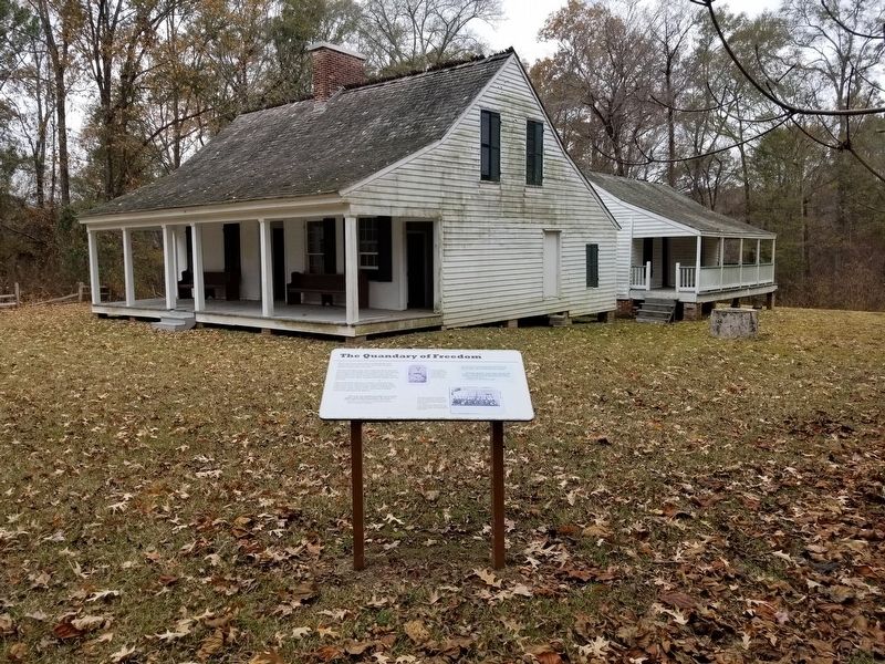
More about this marker. Located on the grounds of the A.K. Shaifer House Mississippi historic site.
Credits. This page was last revised on January 4, 2020. It was originally submitted on January 4, 2020, by Cajun Scrambler of Assumption, Louisiana. This page has been viewed 443 times since then and 39 times this year. Photos: 1, 2. submitted on January 4, 2020, by Cajun Scrambler of Assumption, Louisiana.
