Spokane Valley in Spokane County, Washington — The American West (Northwest)
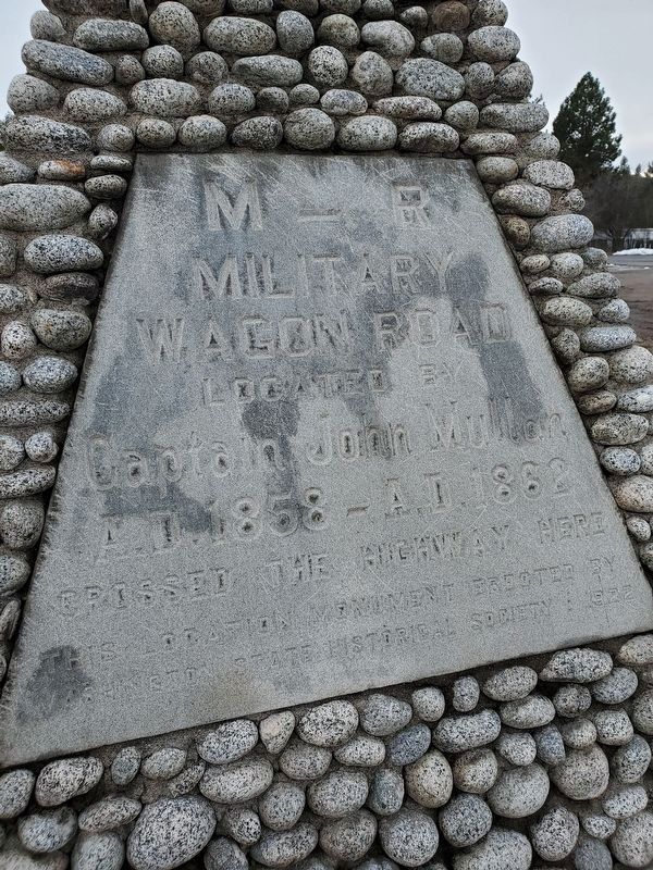
M-R Military Wagon Road
Photographed by Wyndfire, January 1, 2020
1. M-R Military Wagon Road Marker
Close up of the inscription
Erected 1922 by Washington State Historical Society.
Topics. This historical marker is listed in this topic list: Roads & Vehicles. A significant historical year for this entry is 1858.
Location. 47° 39.414′ N, 117° 17.673′ W. Marker is in Spokane Valley, Washington, in Spokane County. It is at the intersection of Sprague Avenue and Vista Road, on the right when traveling east on Sprague Avenue. Touch for map. Marker is in this post office area: Spokane WA 99212, United States of America. Touch for directions.

Regionally, this marker is in Greater Spokane. It is also in the American Mountain West and in the Lewis & Clark Corridor. Globally, it is in North America, on the Pacific Rim, in the Western Hemisphere, in the Western World, and in the Anglosphere.
Other nearby markers. At least 8 other markers are within 5 miles of this marker, measured as the crow flies: The Liberty Tree (approx. 1.2 miles away); World War 1 Memorial (approx. 2.1 miles away); The History of the Spokane County Interstate Fairgrounds (approx. 2.3 miles away); Buell J. Felts (approx. 2.7 miles away); Spokane Library (approx. 3.7 miles away); Tomb of the Unknown Soldier (approx. 3.8 miles away); Revolutionary War Patriots (approx. 3.8 miles away); James J Hill - "The Empire Builder"
this page online
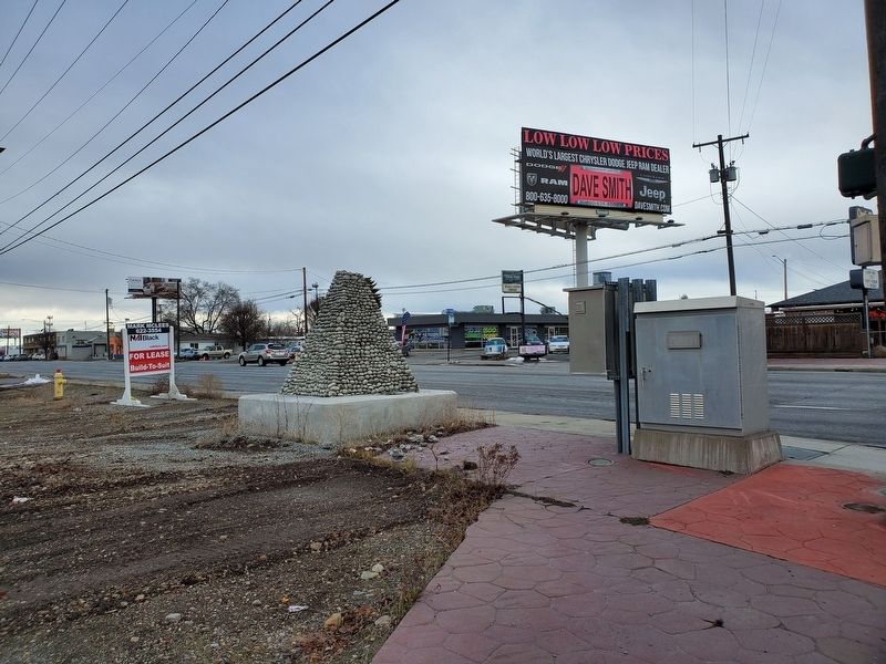
More about this marker. The marker is located at the edge of a vacant lot, right next to the sidewalk. It is in rough shape, as is the lot around it. Not very many places to pull over to see the marker, because it is on a busy street. It looks like its been largely forgotten about.
Also see . . . Stone Monuments Mark Road Capt. John Mullan Built. Capt. John Mullan was an Army engineer who, between 1858 and 1862, built a wagon road between the fort at Walla Walla and Fort Baker in Montana (Submitted on January 6, 2020, by Jennifer W. of Las Cruces, New Mexico.)
Photographed by Wyndfire, January 1, 2020
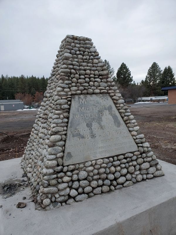
2. M-R Military Wagon Road Marker
Photographed by Wyndfire, January 1, 2020
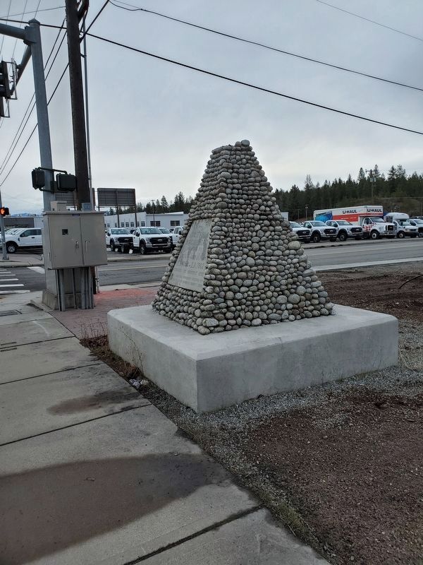
3. M-R Military Wagon Road Marker
Marker from the side. Also shows the intersection that it is at.
Photographed by Wyndfire, January 1, 2020
4. M-R Military Wagon Road Marker
Some of the area around marker. Marker itself is shown from the back.
Credits. This page was last revised on January 6, 2020. It was originally submitted on January 5, 2020, by Jennifer W. of Las Cruces, New Mexico. This page has been viewed 728 times since then and 73 times this year. Photos: 1, 2, 3, 4. submitted on January 5, 2020, by Jennifer W. of Las Cruces, New Mexico. • Syd Whittle was the editor who published this page.
