Independence in Jackson County, Missouri — The American Midwest (Upper Plains)
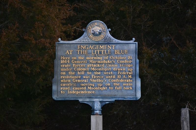
Engagement at the Little Blue
Erected 1961 by Jackson County Park Department.
Topics. This historical marker is listed in this topic list: War, US Civil. A significant historical date for this entry is October 21, 1864.
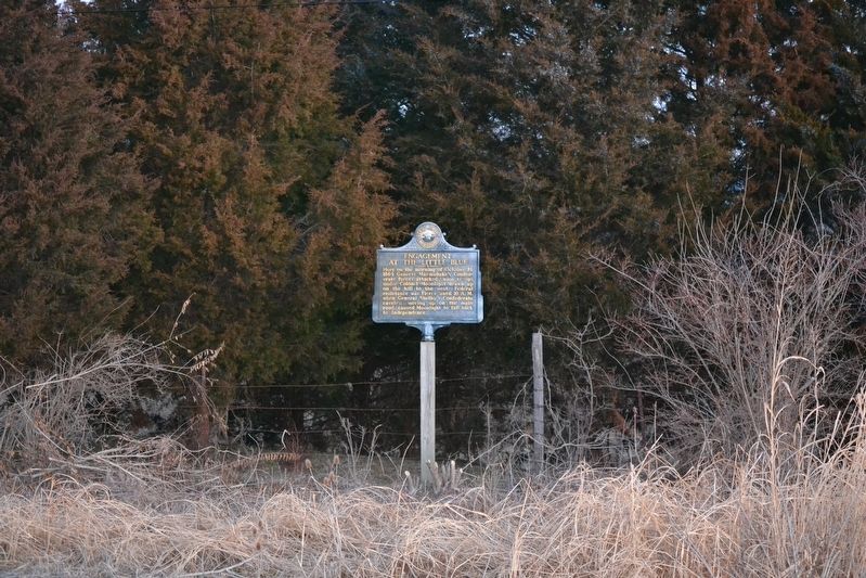
Location. 39° 8.206′ N, 94° 18.759′ W. Marker is in Independence, Missouri, in Jackson County. Marker is on U.S. 24, 1.1 miles west of North Tryman Road (Missouri Route 7), on the right when traveling west. The marker is approximately 55'north of the edge of the road, and 118'west of the gravel driveway. Touch for map. Marker is at or near this postal address: 22862 E US Hwy 24, Independence MO 64058, United States of America. Touch for directions.
Other nearby markers. At least 8 other markers are within 6 miles of this marker, measured as the crow flies. Salem Cemetery Association (approx. 1.4 miles away); Price's Great Missouri Raid (approx. 1˝ miles away); Santa Fe Trail (approx. 1.6 miles away); Union Line (approx. 1.6 miles away); Trail of Death (approx. 2˝ miles away); Vaile Mansion (approx. 5.9 miles away); The Lewis and Clark Expedition Across Missouri (approx. 6.1 miles away); a different marker also named Trail of Death (approx. 6.1 miles away). Touch for a list and map of all markers in Independence.
Credits. This page was last revised on January 13, 2020. It was originally submitted on January 5, 2020, by Michael E Sanchez, Jr. of Kansas City, Missouri. This page has been viewed 367 times since then and 28 times this year. Photos: 1, 2. submitted on January 5, 2020, by Michael E Sanchez, Jr. of Kansas City, Missouri. • Bernard Fisher was the editor who published this page.

