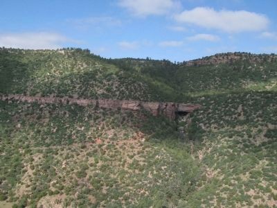
Trujillo in San Miguel County, New Mexico — The American Mountains (Southwest)
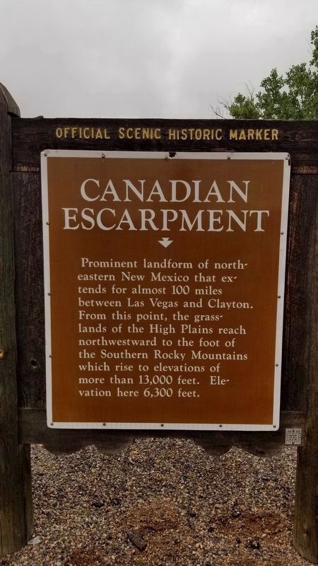
Canadian Escarpment
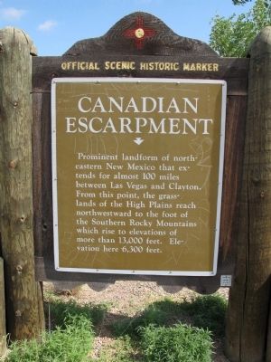
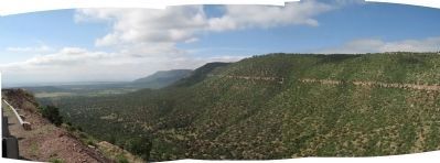
Prominent landform of north-eastern New Mexico that extends for almost 100 miles between Las Vegas and Clayton. From this point, the grass-lands of the High Plains reach northwestward to the foot of the Southern Rocky Mountains which rise to elevations of more than 13,000 feet. Elevation here 6,300 feet.
Erected by New Mexico Historic Preservation Division.
Topics. This historical marker is listed in these topic lists: Natural Features • Notable Places.
Location. This marker has been replaced by another marker nearby. 35° 27.424′ N, 104° 29.564′ W. Marker is in Trujillo, New Mexico, in San Miguel County. Marker is on New Mexico 104, 0.4 miles south of Highway 419, on the right when traveling north. Touch for map. Marker is in this post office area: Las Vegas NM 87701, United States of America. Touch for directions.
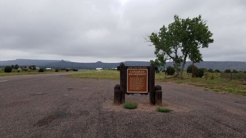
More about this marker. The marker is located in a large, paved pull-out that also includes a sheltered picnic table.
Additional commentary.
1. Located Missing Marker
The marker has been moved approximately 12 miles as the crow flies, to the southeast. It is now located at 35.45707, -104.49274, which is on highway 104 about 0.4 miles south of the intersection of highways 104 and 419. On the left when traveling south on 104.
— Submitted January 6, 2020, by Sandy Ballard of Albuquerque, New Mexico.
Credits. This page was last revised on July 21, 2021. It was originally submitted on December 17, 2009, by Richard Denney of Austin, Texas. This page has been viewed 1,946 times since then and 57 times this year. Last updated on January 6, 2020, by Sandy Ballard of Albuquerque, New Mexico. Photos: 1. submitted on July 16, 2021, by James Hulse of Medina, Texas. 2. submitted on December 17, 2009, by Richard Denney of Austin, Texas. 3. submitted on July 16, 2021, by James Hulse of Medina, Texas. 4, 5. submitted on December 17, 2009, by Richard Denney of Austin, Texas. • Syd Whittle was the editor who published this page.
