Georgetown in Northwest Washington in Washington, District of Columbia — The American Northeast (Mid-Atlantic)
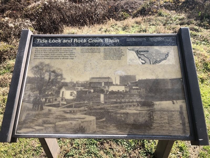
Tide Lock and Rock Creek Basin
Chesapeake and Ohio National Historical Park
— National Park Service, U.S. Department of the Interior —
[Captions:]
A 200-foot dam (right side of photo below) crossed the mouth of Rock Creek, creating a basin where canal boats docked and off loaded cargo.
Boats from Tide Lock could enter the Potomac River and go downstream to the Washington Branch Canal, where present-day Constitution Avenue is located. A lockhouse building still standing at 17th Street and Constitution Avenue is the only remaining evidence of this branch canal.
Erected by National Park Service, U.S. Department of the Interior.
Topics and series. This historical marker is listed in these topic lists: Industry & Commerce • Waterways & Vessels. In addition, it is included in the Chesapeake and Ohio (C&O) Canal series list.
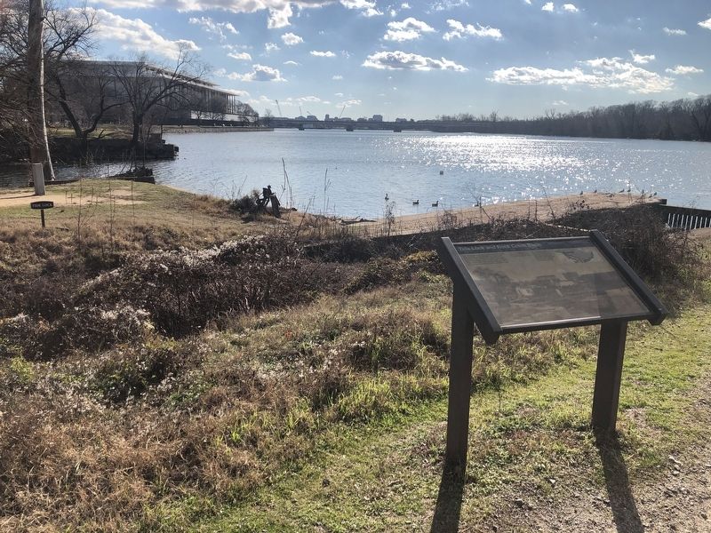
Location. 38° 53.997′ N, 77° 3.468′ W. Marker is in Northwest Washington in Washington, District of Columbia. It is in Georgetown. Marker can be reached from Virginia Avenue Northwest just west of Rock Creek and Potomac Parkway Northwest, on the right when traveling west. Touch for map. Marker is at or near this postal address: 2900 Virginia Avenue Northwest, Washington DC 20037, United States of America. Touch for directions.
Other nearby markers. At least 8 other markers are within walking distance of this marker. Tide Lock (within shouting distance of this marker); A Canal to the West (within shouting distance of this marker); Herring Highway (about 400 feet away, measured in a direct line); The Watergate Hotel (about 800 feet away); History Preserved and Adapted (approx. 0.2 miles away); Benito Juárez Memorial (approx. ¼ mile away); Godey's Lime Kilns (approx. ¼ mile away); Benjamin Banneker and Suter's Tavern (approx. ¼ mile away). Touch for a list and map of all markers in Northwest Washington.
Credits. This page was last revised on January 30, 2023. It was originally submitted on January 6, 2020, by Devry Becker Jones of Washington, District of Columbia. This page has been viewed 199 times since then and 15 times this year. Photos: 1, 2. submitted on January 6, 2020, by Devry Becker Jones of Washington, District of Columbia.

