Near Earleville in Cecil County, Maryland — The American Northeast (Mid-Atlantic)
Hazelmore
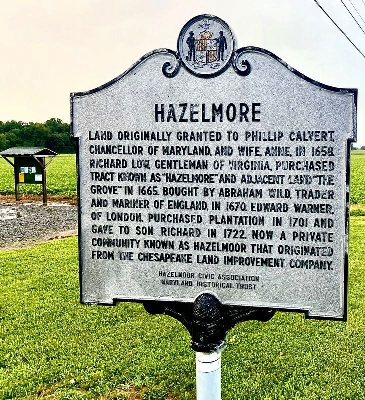
Photographed by Rico Ramirez, August 2, 2024
1. Hazelmore Marker
Erected by Hazelmoor Civic Association, Maryland Historical Trust.
Topics and series. This historical marker is listed in these topic lists: Colonial Era • Settlements & Settlers. In addition, it is included in the Maryland Historical Trust series list. A significant historical year for this entry is 1658.
Location. 39° 23.776′ N, 76° 0.979′ W. Marker is near Earleville, Maryland, in Cecil County. It is at the intersection of Grove Neck Road and Hazelmoor Drive, on the right when traveling west on Grove Neck Road. Touch for map. Marker is in this post office area: Earleville MD 21919, United States of America. Touch for directions.

Regionally, this marker is
this page online
Other nearby markers. At least 8 other markers are within 4 miles of this marker, measured as the crow flies: Betterton (approx. 3.1 miles away); Crew’s Landing (approx. 3.1 miles away); Mary Roe Walkup Pavilion (approx. 3.1 miles away); Rose Hill (approx. 3.2 miles away); Reluctant Aide (approx. 3.2 miles away); Turner's Creek (approx. 3.2 miles away); Waterfront Hub for Trade (approx. 3.2 miles away); Agricultural Demonstration Area / Historic Tree Grove (approx. 3.3 miles away).
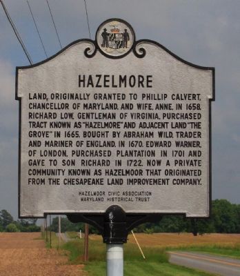
Photographed by Bob Marshall, May 27, 2009
2. Hazelmore Marker
Photographed by Bob Marshall, May 27, 2009
3. Hazelmore Marker
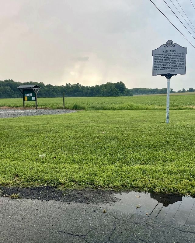
Photographed by Rico Ramirez, August 2, 2024
4. Hazelmore Marker
Credits. This page was last revised on August 5, 2024. It was originally submitted on May 29, 2009, by Bob Marshall of Baltimore, Maryland. This page has been viewed 2,146 times since then and 98 times this year. Last updated on January 8, 2020, by Carl Gordon Moore Jr. of North East, Maryland. Photos: 1. submitted on August 3, 2024, by Rico Ramirez of Prince Frederick, Maryland. 2, 3. submitted on May 29, 2009, by Bob Marshall of Baltimore, Maryland. 4. submitted on August 3, 2024, by Rico Ramirez of Prince Frederick, Maryland. • Mark Hilton was the editor who published this page.
