Kirkville in Onondaga County, New York — The American Northeast (Mid-Atlantic)
Old Erie Canal State Historic Park at Kirkville Road
Inscription.
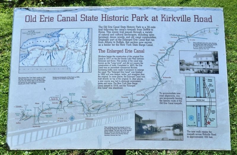
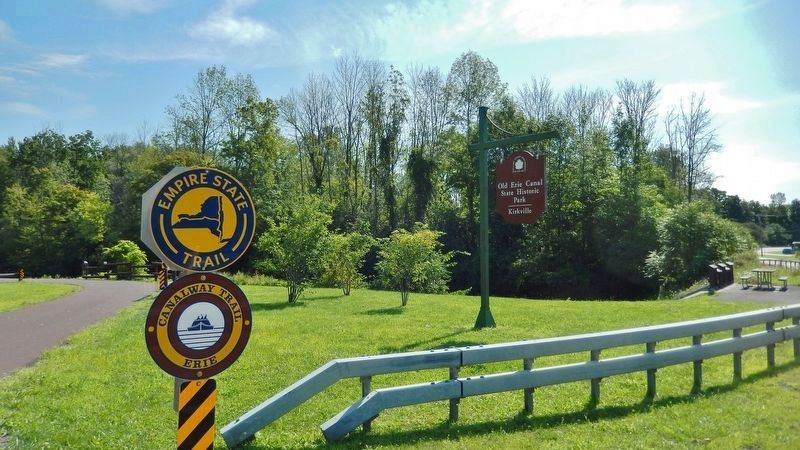
The Old Erie Canal State Historic Park is a 36-mile trail following the canal's towpath from DeWitt to Rome. This scenic trail passes through a variety of natural and cultural landscapes, including open farmland, dense woods, and old canal communities. Originally part of the Enlarged Erie Canal that ran from Albany to Buffalo, this section now serves as a feeder for the New York State Barge Canal.
The Enlarged Erie Canal
Workers began the construction of the original Erie Canal in 1817 on the flat Oneida Lake Plain between Syracuse and Rome. This section of the canal was known as the "Long Level" and did not require the construction of locks. Completed in 1825, the Erie Canal was an immediate commercial success.
Increasing traffic soon made it necessary to enlarge the canal. The "Enlarged Erie Canal" was finished in 1862 and was deeper, wider, and straighter than the original. In some places, the Enlarged Canal was built directly on top of the original. In other places, a new course was laid to eliminate unnecessary twists and turns. The New York State Barge Canal opened in 1918, and the "Enlarged Erie Canal" was abandoned.
Background photograph of Erie Canal ca.1890, courtesy of Fort Hunter Canal Society.
Topics. This historical marker is listed in these topic lists: Industry & Commerce • Man-Made Features • Waterways & Vessels. A significant historical year for this entry is 1825.
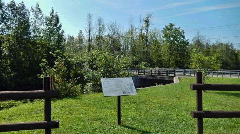
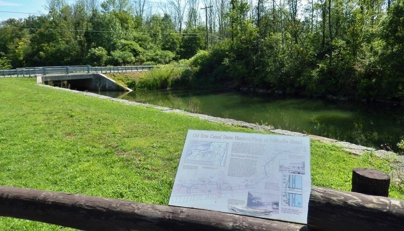
Location. 43° 4.198′ N, 75° 56.967′ W. Marker is in Kirkville, New York, in Onondaga County. Marker can be reached from Kirkville Road North, 0.7 miles north of Green Lakes Road (New York State Route 290), on the right when traveling north. Marker is located on the south side of the Old Erie Canal State Historic Park parking lot, overlooking Pool's Brook. Touch for map. Marker is in this post office area: Kirkville NY 13082, United States of America. Touch for directions.
Other nearby markers. At least 8 other markers are within 4 miles of this marker, measured as the crow flies. Pool's Brook (approx. one mile away); The Erie Canal - Canvass White (approx. 2.8 miles away); Deep Spring (approx. 3˝ miles away); Fayetteville (approx. 3.6 miles away); Canal Industry (approx. 3.9 miles away); Dry Docks: Canal Service Centers (approx. 4 miles away); Feeding the Canal (approx. 4 miles away); A Busy, Bustling Boatyard (approx. 4 miles away).
Also see . . . "Clinton's Ditch" Canal and the Enlarged Erie Canal. Proposed in 1808 and completed in 1825, the canal links the waters of Lake Erie in the west to the Hudson River in the east. An engineering marvel when it was built,
some called it the Eighth Wonder of the World. In order to keep pace with the growing demands of traffic, the Erie Canal was enlarged between 1836 and 1862. The "Enlarged Erie Canal" was 350.5 miles long, 7 feet deep and 70 feet wide, and could handle boats carrying 240 tons. The number of locks was reduced to 72. Most of the remaining traces of the Old Erie Canal are from the Enlarged Erie era. (Submitted on January 10, 2020, by Cosmos Mariner of Cape Canaveral, Florida.)
Credits. This page was last revised on May 28, 2023. It was originally submitted on January 10, 2020, by Cosmos Mariner of Cape Canaveral, Florida. This page has been viewed 507 times since then and 33 times this year. Photos: 1, 2, 3, 4. submitted on January 10, 2020, by Cosmos Mariner of Cape Canaveral, Florida.


