Fenner in Madison County, New York — The American Northeast (Mid-Atlantic)
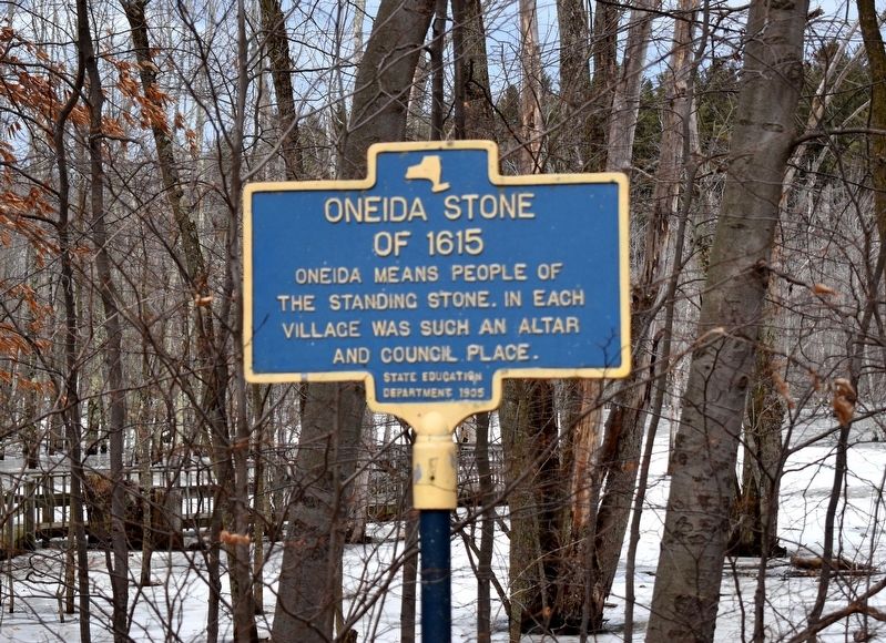
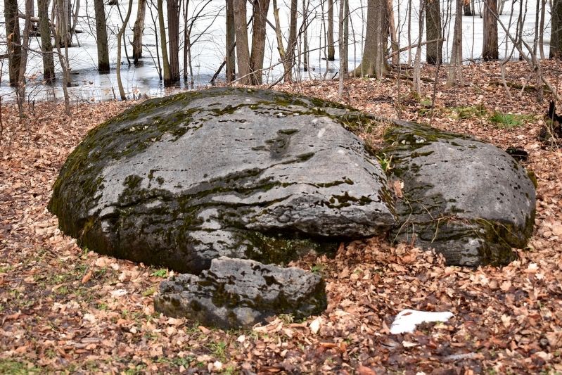
Oneida Stone of 1615
Photographed by Mollie, January 11, 2020
1. Oneida Stone of 1615 Marker
the Standing Stone. In each
village was such an altar
and council place.
Erected 1935 by State Education Department.
Topics. This historical marker is listed in this topic list: Indigenous Peoples and Communities.
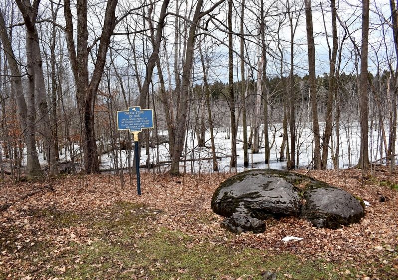
Location. 43° 0.305′ N, 75° 44.553′ W. Marker is in Fenner, New York, in Madison County. It can be reached from Nichols Pond Road 0.4 miles W Mile Strip Road, on the left when traveling north. This marker is located along the shore in Nichols Pond County Park by the Oneida Pavilion. Viewing it requires about a 5-minute walk from the parking lot. Touch for map. Marker is at or near this postal address: 5797 Nichols Pond Road, Cazenovia NY 13035, United States of America. Touch for directions.

Regionally, this marker is in Upstate New York, specifically in Central New York, and in the Syracuse Metropolitan Area. It is also in the American Northeast and in the Mid-Atlantic. Globally, it is in North America, the Western Hemisphere, the Western World, and the Anglosphere. Historically, it finds itself in what was once the
this page online
Other nearby markers. At least 8 other markers are within 4 miles of this marker, measured as the crow flies: Grain Pits (about 300 feet away, measured in a direct line); Oneida Indian Village Wall (approx. 0.2 miles away); Nichols Pond Park (approx. 0.2 miles away); Site of Champlain Battle (approx. 0.2 miles away); Town of Lincoln Veterans Memorial (approx. 2.6 miles away); The Abolition Road (approx. 2.6 miles away); Kriemhild Herd (approx. 3.2 miles away); Myths of The Underground Railroad (approx. 3.8 miles away).
Photographed by Mollie, January 11, 2020
2. Oneida Stone of 1615 Marker
Photographed by Mollie, January 11, 2020
3. Oneida Stone of 1615
Credits. This page was last revised on August 21, 2023. It was originally submitted on January 11, 2020, by Mollie of Syracuse, New York. This page has been viewed 1,226 times since then and 170 times this year. Photos: 1, 2, 3. submitted on January 11, 2020, by Mollie of Syracuse, New York. • Michael Herrick was the editor who published this page.
