Near Shonto in Navajo County, Arizona — The American Mountains (Southwest)
Welcome to the Historic Contact Station
Navajo National Monument
— National Park Service, U.S. Department of the Interior —
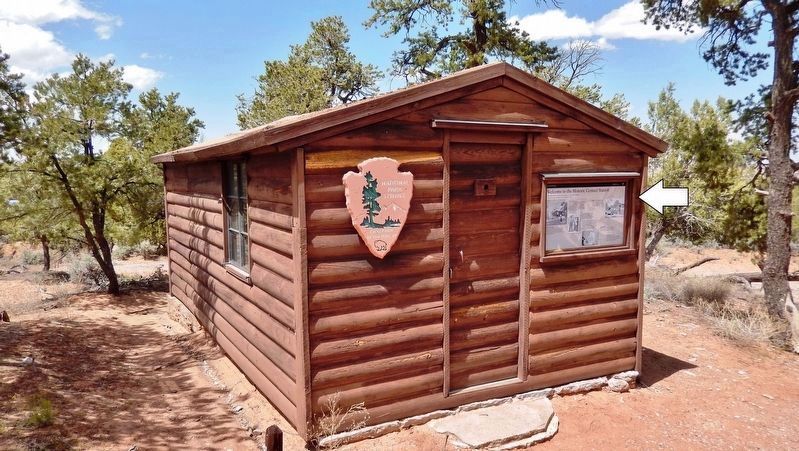
This contact station has served many purposes over the years, including an essential role as the monument’s first interpretive center.
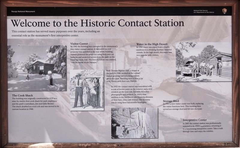
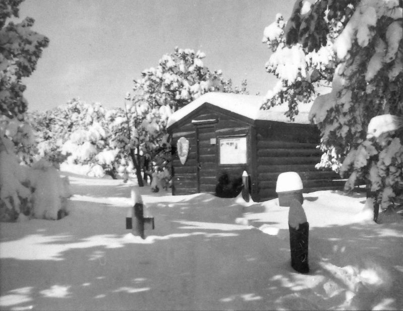
The Cook Shack
The building was originally constructed in 1939 as a nine-by-twelve-foot cook shack for park employees and the park’s custodians, Jim and Sallie Brewer. The shack doubled as a tool crib and was moved to its current location in 1940.
Visitor Center
By 1941 the building was converted to the monument's first visitor contact station. A borrowed six-volt projector was installed in the rear of the building. Visitors powered the projector using their own car batteries and projected scenes from the park on the building's back wall. The first slideshow was entitled, "The Homelife of the Navajos."
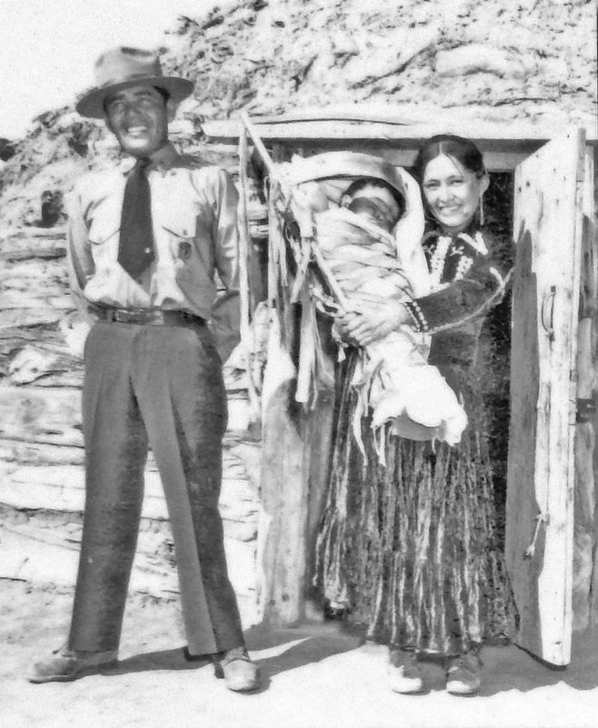
Seth Thomas Bigman (left), a ranger at the park in 1948, worked at the contact station greeting and informing visitors about the park. Standing next to him is his wife, Helen, with their son, Patrick.
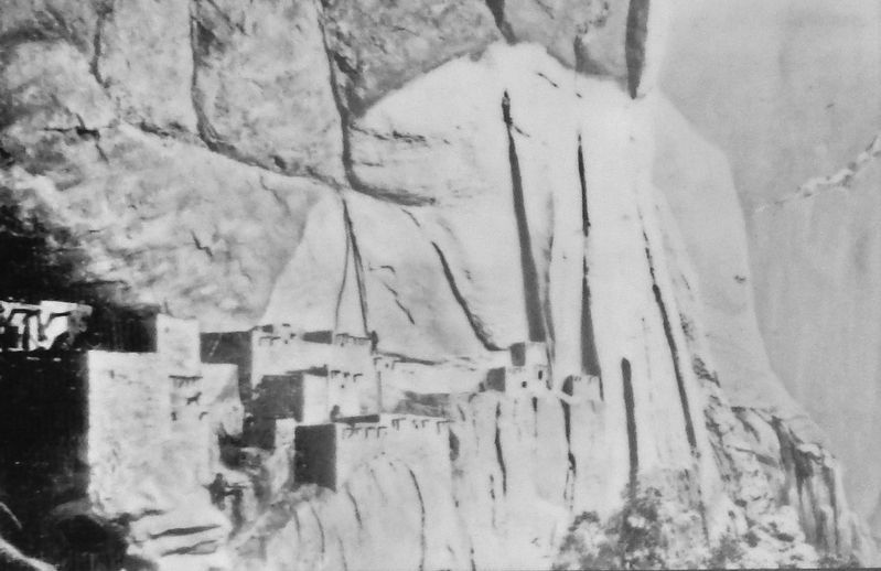
In 1952 the contact station was remodeled with a coat of brown paint on the exterior and a new window on the west side. Exhibits included photographs and artifacts. In 1954 a new addition to the northwest side housed a diorama of Keet Seel, circa 1260 (below). The diorama was lit using three automobile headlights.
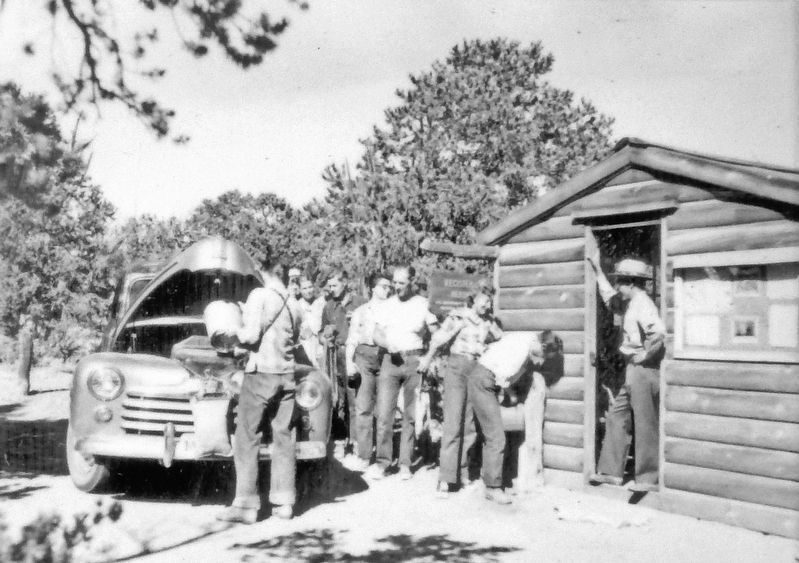
Water in the High Desert
In 1941 water was piped from a nearby residence to a drinking fountain installed outside. In the high desert, this water was very popular with visitors.
Storage Shed
In 1965 a new visitor center was built, replacing the visitor functions here. This building then served as a storage shed and fell into disrepair.
Interpretive Center
In 2007 the contact station was professionally restored to its 1950’s appearance, returning it to a functioning interpretive center. Take a walk through time and enjoy the exhibits.
Erected by National Park Service, U.S. Department of the Interior.
Topics. This historical marker is listed in these topic lists: Native Americans • Parks & Recreational Areas. A significant historical year for this entry is 1939.
Location. 36° 40.893′ N, 110° 32.515′ W. Marker is near Shonto, Arizona, in Navajo County. Marker can be reached from the intersection of County Highway 221 and Tsegi Canyon Road when traveling east. Marker and subject building are located within Navajo National Monument, about 1/2 mile north of the Visitor Center and about 1/10 mile east of County Highway 221 - along the walking trail. Touch for map. Marker is in this post office area: Shonto AZ 86054, United States of America. Touch for directions.
Other nearby markers. At least 8 other markers are within walking distance of this marker. Douglas Fir (about 500 feet away, measured in a direct line); Gambel Oak (about 500 feet away); Serviceberry (about 600 feet away); Rabbit Brush (about 700 feet away); A Relict Forest (about 800 feet away); Indian Rice Grass (approx. 0.2 miles away); Big Sagebrush (approx. 0.2 miles away); Sandal Trail (approx. 0.2 miles away). Touch for a list and map of all markers in Shonto.
Also see . . . Navajo National Monument: A Place and Its People. The arrival of James W. and Sallie Brewer late in 1938 began a new era at Navajo National Monument. The first headquarters was a tent by Tsegi Point. Water came in a 55-gallon drum from Shonto. When it did not suffice, they went to a nearby seep discovered by Navajo mules. A horse named Messenger provided the primary means of transportation. Many evenings when the 55-gallon barrel was empty, Sallie Brewer rode Messenger to the seep for more water. Laundry posed another problem. Sallie Brewer later reported that at Navajo she "learned to wash clothes in strained, reheated dishwater." (Submitted on January 12, 2020, by Cosmos Mariner of Cape Canaveral, Florida.)
Credits. This page was last revised on August 16, 2020. It was originally submitted on January 11, 2020, by Cosmos Mariner of Cape Canaveral, Florida. This page has been viewed 366 times since then and 12 times this year. Photos: 1, 2, 3, 4, 5, 6, 7. submitted on January 12, 2020, by Cosmos Mariner of Cape Canaveral, Florida. • J. Makali Bruton was the editor who published this page.
