
Columbus Square in St. Louis, Missouri — The American Midwest (Upper Plains)
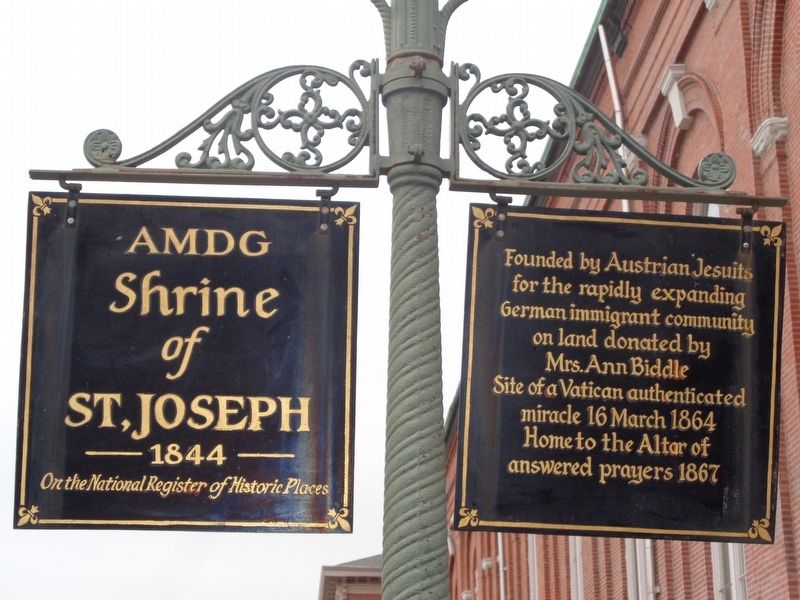
AMDG Shrine of St. Joseph
1844
| — | On the National Register of Historic Places | — |
Photographed by Jason Voigt, January 9, 2020
1. AMDG Shrine of St. Joseph Marker
Founded by Austrian Jesuits for the rapidly expanding German immigrant community on land donated by Mrs. Ann Biddle. Site of a Vatican authenticated miracle 16 March 1864. Home to the Altar of answered prayers 1867.
Topics and series. This historical marker is listed in these topic lists: Religion & Religious Structures • Women. In addition, it is included in the National Register of Historic Places (NRHP) series list. A significant historical year for this entry is 1844.
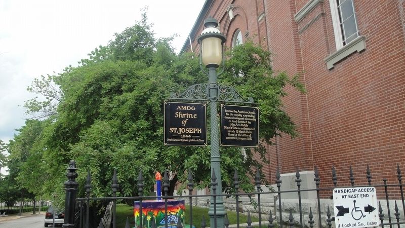
Location. 38° 38.223′ N, 90° 11.573′ W. Marker is in St. Louis, Missouri. It is in Columbus Square. It is at the intersection of North 11th Street and Biddle Street, on the right when traveling north on North 11th Street. Marker is on a lamppost to the left of the Shrine. Touch for map. Marker is at or near this postal address: 1220 North 11th Street, Saint Louis MO 63106, United States of America. Touch for directions.

Regionally, this marker is in the American Midwest, in the Lewis & Clark Corridor, in the Corn Belt, and in the Great River Road Region. Globally, it is in North America, the Western Hemisphere, the Western World, and the Anglosphere.
this page online
Other nearby markers. At least 8 other markers are within walking distance of this marker: Fr. Edward S. Filipiak Park (within shouting distance of this marker); Neighborhood Gardens Apartments (approx. ¼ mile away); Star Bucket Pump Company (approx. 0.3 miles away); Plymouth House (approx. 0.3 miles away); 1991 (approx. half a mile away); 1990 (approx. half a mile away); 1992 (approx. half a mile away); 1993 (approx. half a mile away). Touch for a list and map of all markers in St. Louis.
More about this marker. Same text is on the other side of each.
Also see . . .
1. Shrine of St. Joseph. Official website for the Shrine, which has some additional history of the church, including the miracle. (Submitted on January 12, 2020, by Jason Voigt of Glen Carbon, Illinois.)
2. Shrine of St. Joseph (St. Louis). Wikipedia entry (Submitted on January 12, 2020, by Jason Voigt of Glen Carbon, Illinois.)
Photographed by Jason Voigt, June 26, 2014
2. AMDG Shrine of St. Joseph Marker
The stl250 cake (partially in photo) was placed by the marker in 2014
Photographed by Jason Voigt, June 26, 2014
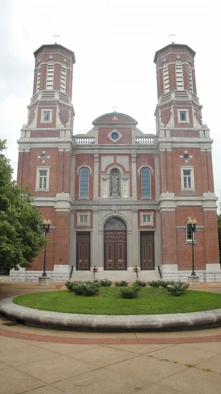
3. Shrine of St. Joseph
View of the front of the Shrine from Columbus Square Park
Photographed by Devry Becker Jones (CC0), March 18, 2021
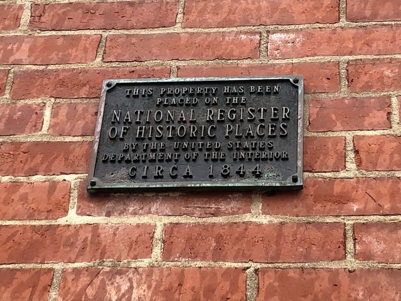
4. National Register of Historic Places plaque on the church building
Credits. This page was last revised on January 30, 2023. It was originally submitted on January 12, 2020, by Jason Voigt of Glen Carbon, Illinois. This page has been viewed 510 times since then and 50 times this year. Photos: 1, 2, 3. submitted on January 12, 2020, by Jason Voigt of Glen Carbon, Illinois. 4. submitted on March 23, 2021, by Devry Becker Jones of Washington, District of Columbia. • Devry Becker Jones was the editor who published this page.
