Near Shonto in Navajo County, Arizona — The American Mountains (Southwest)
Prehistoric Pioneers
Navajo National Monument
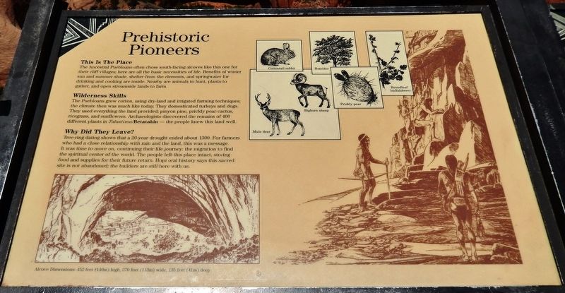
This Is The Place
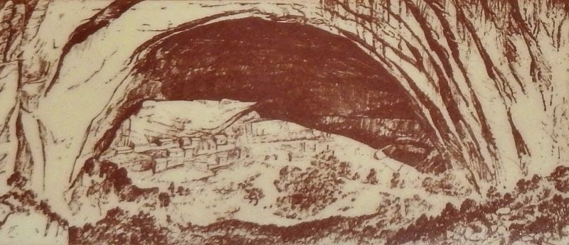
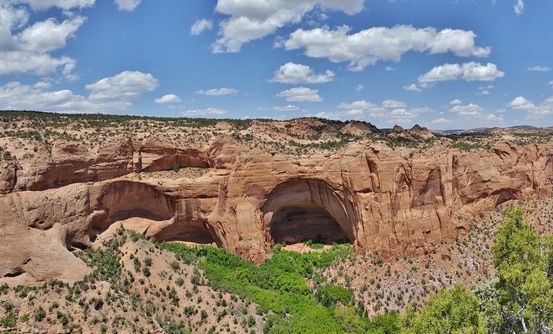
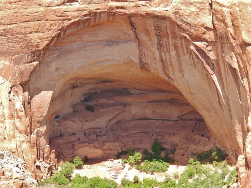
The Ancestral Puebloans often chose south-facing alcoves like this one for their cliff villages; here are all the basic necessities of life. Benefits of winter sun and summer shade, shelter from the elements, and springwater for drinking and cooking are inside. Nearby are animals to hunt, plants to gather, and open streamside lands to farm.
Wilderness Skills
The Puebloans grew cotton, using dry-land and irrigated farming techniques; the climate then was much like today. They domesticated turkeys and dogs. They used everything the land provided; pinyon pine, prickly pear cactus, ricegrass, and sunflowers. Archaeologists discovered the remains of 400 different plants in Talastima/Betatakin — the people knew this land well.
Why Did They Leave?
Tree-ring dating shows that a 20-year drought ended about 1300. For farmers who had a close relationship with rain and the land, this was a message. It was time to move on, continuing their life journey: the migration to find the spiritual center of the world. The people left this place intact, storing food and supplies for their future return. Hopi oral history says this sacred site is not abandoned: the builders are still here with us.
Erected by National Park Service, U.S. Department of the Interior.
Topics. This historical marker is listed in these topic lists: Anthropology & Archaeology • Native Americans. A significant historical year for this entry is 1300.
Location. 36° 40.842′ N, 110° 32.052′ W. Marker is near Shonto, Arizona, in Navajo County. Marker can be reached from the intersection of Arizona Route 564 and County Route 221. Marker is located at the end of the Sandal Trail, about 1/2 mile northeast of the Navajo National Monument Visitor Center, overlooking the Betatakin Cliff Dwellings. Touch for map. Marker is in this post office area: Shonto AZ 86054, United States of America. Touch for directions.
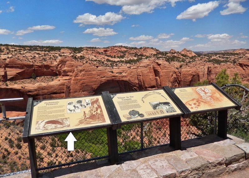
Other nearby markers. At least 8 other markers are within walking distance of this marker. Voices in the Canyon (here, next to this marker); Into The Memory (here, next to this marker); Utah Juniper (within shouting distance of this marker); Mormon Tea (about 300 feet away, measured in a direct line); Broadleaf Yucca (about 400 feet away); Cliffrose (about 500 feet away); Pinyon Pine (approx. 0.2 miles away); Roundleaf Buffaloberry (approx. 0.2 miles away). Touch for a list and map of all markers in Shonto.
Related markers. Click here for a list of markers that are related to this marker. Sandal Trail, Navajo National Monument
Also see . . . Navajo National Monument: Betatakin (Wikipedia). Betatakin means "House Built
on a Ledge" in Navajo. In Hopi, the name of the place is Talastima, or "Place of the Corn Tassel.” Betatakin was constructed of sandstone, mud mortar, and wood, with about 120 rooms at the time of abandonment. Today only about 80 rooms remain, due to rock falls inside the alcove. (Submitted on January 12, 2020, by Cosmos Mariner of Cape Canaveral, Florida.)
Credits. This page was last revised on January 13, 2020. It was originally submitted on January 12, 2020, by Cosmos Mariner of Cape Canaveral, Florida. This page has been viewed 153 times since then and 16 times this year. Photos: 1, 2, 3, 4, 5. submitted on January 12, 2020, by Cosmos Mariner of Cape Canaveral, Florida.
