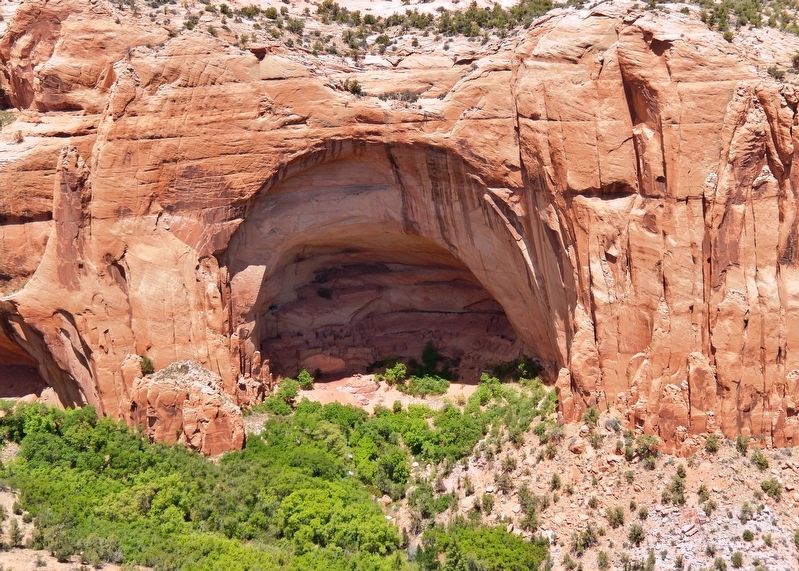
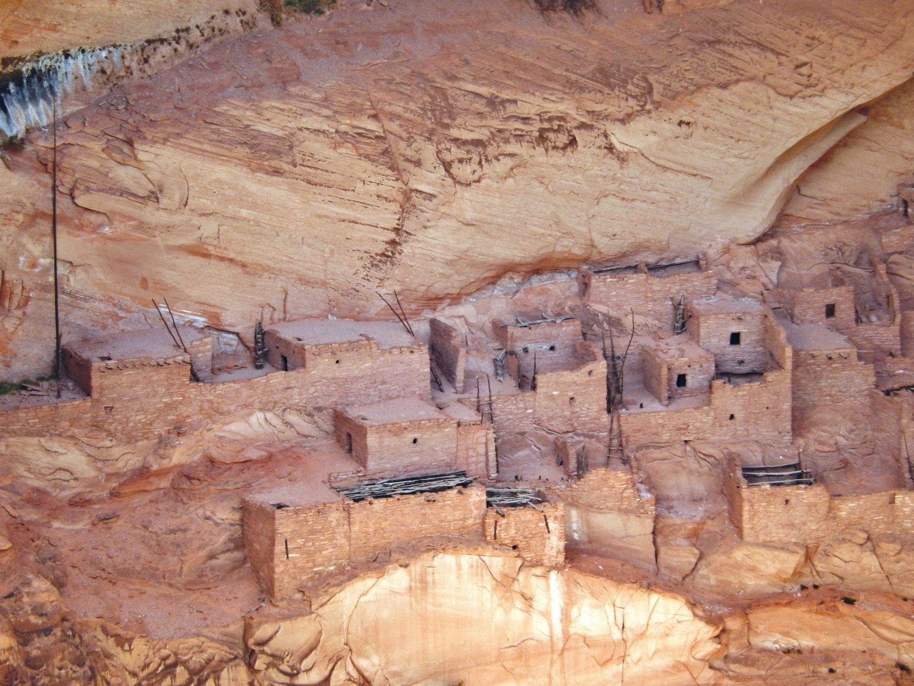
Near Shonto in Navajo County, Arizona — The American Mountains (Southwest)
Voices in the Canyon
Navajo National Monument
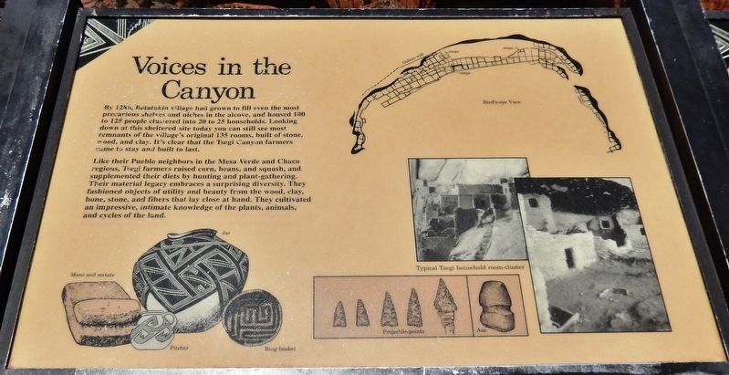
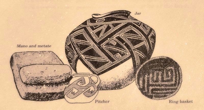
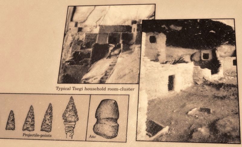
Like their Pueblo neighbors in the Mesa Verde and Chaco regions, Tsegi farmers raised corn, beans, and squash, and supplemented their diets by hunting and plant-gathering. Their material legacy embraces a surprising diversity. They fashioned objects of utility and beauty from the wood, clay, bone, stone, and fibers that lay close at hand. They cultivated an impressive, intimate knowledge of the plants, animals, and cycles of the land.
Erected by National Park Service, U.S. Department of the Interior.
Topics. This historical marker is listed in these topic lists: Anthropology & Archaeology • Native Americans. A significant historical year for this entry is 1286.
Location. 36° 40.842′ N, 110° 32.051′ W. Marker is near Shonto, Arizona, in Navajo County. Marker can be reached from the intersection of Arizona Route 564 and County Route 221. Marker is located at the end of the Sandal Trail, about 1/2 mile northeast of the Navajo National Monument Visitor Center, overlooking the Betatakin Cliff Dwellings. Touch for map. Marker is in this post office area: Shonto AZ 86054, United States of America. Touch for directions.
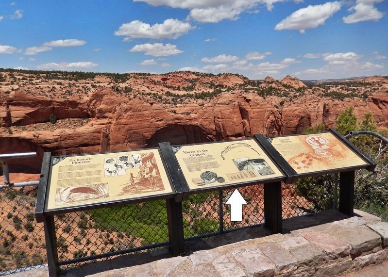
Other nearby markers. At least 8 other markers are within walking distance of this marker. Into The Memory (here, next to this marker); Prehistoric Pioneers (here, next to this marker); Utah Juniper (within shouting distance of this marker); Mormon Tea (about 300 feet away, measured in a direct line); Broadleaf Yucca (about 400 feet away); Cliffrose (about 500 feet away); Pinyon Pine (approx. 0.2 miles away); Roundleaf Buffaloberry (approx. 0.2 miles away). Touch for a list and map of all markers in Shonto.
Related markers. Click here for a list of markers that are related to this marker. Sandal Trail, Navajo National Monument
Also see . . . Navajo National Monument: Dwellings/Architecture. The structures contained within this cave site were constructed mainly of sandstone blocks plastered together with mud and mortar. In marked contrast to earlier constructions and villages on top of the mesas, the cliff dwelling of Navajo National Monument reflected a region-wide trend towards the aggregation of growing regional populations into close, highly defensible quarters during the mid to late 13th century. (Submitted on January 12, 2020, by Cosmos Mariner of Cape Canaveral, Florida.)
Credits. This page was last revised on January 13, 2020. It was originally submitted on January 12, 2020, by Cosmos Mariner of Cape Canaveral, Florida. This page has been viewed 164 times since then and 10 times this year. Photos: 1, 2, 3, 4, 5, 6. submitted on January 12, 2020, by Cosmos Mariner of Cape Canaveral, Florida.
