Near Shonto in Navajo County, Arizona — The American Mountains (Southwest)
Into The Memory
Navajo National Monument
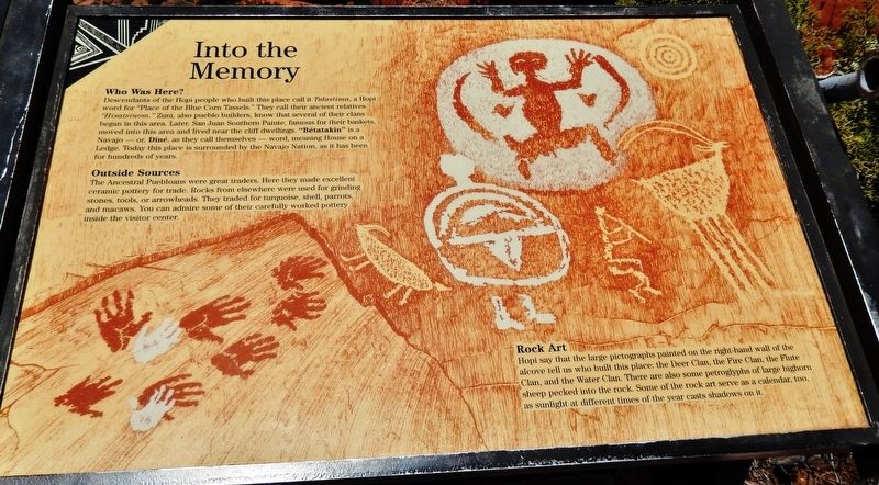
Who Was Here?
Descendants of the Hopi people who built this place call it Talastima, a Hopi word for "Place of the Blue Corn Tassels." They call their ancient relatives “Hisatsinom.” Zuni, also pueblo builders, know that several of their clans began in this area. Later, San Juan Southern Paiute, famous for their baskets, moved into this area and lived near the cliff dwellings. "Bétatakin" is a Navajo — or, Diné, as they call themselves — word, meaning House on a Ledge. Today this place is surrounded by the Navajo Nation, as it has been for hundreds of years.
Outside Sources
The Ancestral Puebloans were great traders. Here they made excellent ceramic pottery for trade. Rocks from elsewhere were used for grinding stones, tools, or arrowheads. They traded for turquoise, shell, parrots, and macaws. You can admire some of their carefully worked pottery inside the visitor center.
Rock Art
Hopi say that the large pictographs painted on the right-hand wall of the alcove tell us who built this place: the Deer Clan, the Fire Clan, the Flute Clan, and the Water Clan. There are also some petroglyphs of large bighorn sheep pecked into the rock. Some of the rock art serve as a calendar, too, as sunlight at different times of the year casts shadows on it.
Erected by National Park Service, U.S. Department of the Interior.
Topics. This historical marker is listed in these topic lists: Anthropology & Archaeology • Native Americans.
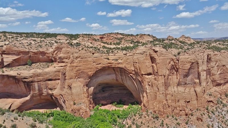
Location. 36° 40.842′ N, 110° 32.05′ W. Marker is near Shonto, Arizona, in Navajo County. Marker can be reached from the intersection of Arizona Route 564 and County Route 221. Marker is located at the end of the Sandal Trail, about 1/2 mile northeast of the Navajo National Monument Visitor Center, overlooking the Betatakin Cliff Dwellings. Touch for map. Marker is in this post office area: Shonto AZ 86054, United States of America. Touch for directions.
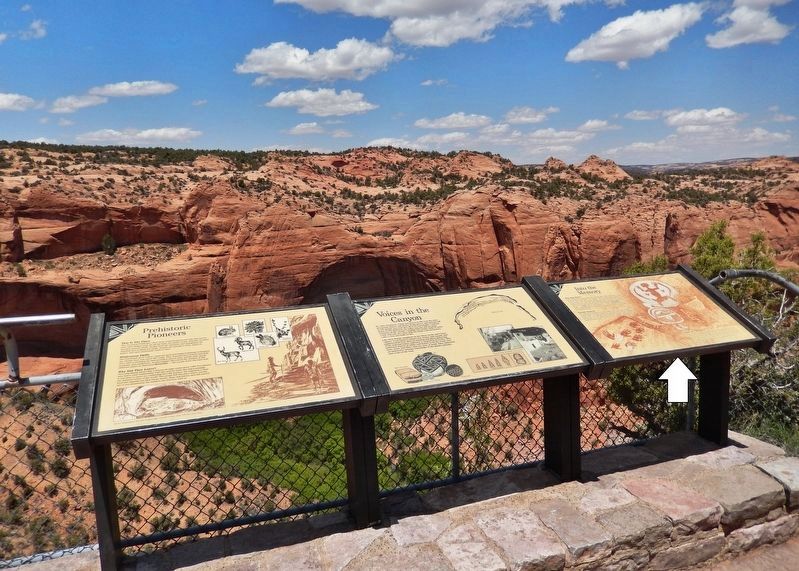
Other nearby markers. At least 8 other markers are within walking distance of this marker. Voices in the Canyon (here, next to this marker); Prehistoric Pioneers (here, next to this marker); Utah Juniper (within shouting distance of this marker); Mormon Tea (about 300 feet away, measured in a direct line); Broadleaf Yucca (about 400 feet away); Cliffrose (about 500 feet away); Pinyon Pine (approx. 0.2 miles away); Roundleaf Buffaloberry (approx. 0.2 miles away). Touch for a list and map of all markers in Shonto.
Related markers. Click here for a list of markers that are related to this marker. Sandal Trail, Navajo National Monument
Also see . . . Navajo National Monument.
To the Ancestral Puebloans who lived in the Southwest 700 years ago, the cliff faces, terraces, and alcoves in Tsegi Canyon were valuable real estate. Today, Navajo National Monument protects these remarkable cliff dwellings. (Submitted on January 12, 2020, by Cosmos Mariner of Cape Canaveral, Florida.)
Credits. This page was last revised on January 13, 2020. It was originally submitted on January 12, 2020, by Cosmos Mariner of Cape Canaveral, Florida. This page has been viewed 153 times since then and 13 times this year. Photos: 1, 2, 3, 4. submitted on January 12, 2020, by Cosmos Mariner of Cape Canaveral, Florida.


