Near Shonto in Navajo County, Arizona — The American Mountains (Southwest)
Douglas Fir
Pseudotsuga taxifolia
Photographed by Cosmos Mariner, May 24, 2016
1. Douglas Fir Marker
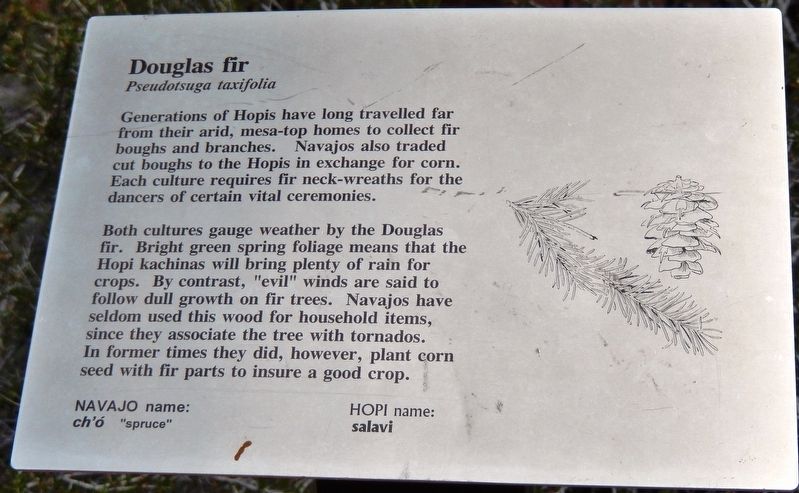
Both cultures gauge weather by the Douglas fir. Bright green spring foliage means that the Hopi kachinas will bring plenty of rain for crops. By contrast, “evil” winds are said to follow dull growth on fir trees. Navajos have seldom used this wood for household items, since they associate the tree with tornados. In former times they did, however, plant corn seed with fir parts to insure a good crop.
NAVAJO name:
Ch’ó "spruce"
HOPI name:
salavi
Topics. This historical marker is listed in these topic lists: Anthropology & Archaeology • Indigenous Peoples and Communities.
Location. 36° 40.809′ N, 110° 32.473′ W. Marker is near Shonto, Arizona, in Navajo County. It can be reached from the intersection of State Highway 564 and County Route 221. Marker is located along the Aspen Forest Overlook Trail,
this page online

Regionally, this marker is in the Navajo Nation and in Hopi. It is also in the American Southwest, in the Mountain West, on the Colorado Plateau, and at the Four Corners. Globally, it is in North America, the Western Hemisphere, the Western World, and the Anglosphere. Historically, it finds itself in what was once New Spain, the territory of the Ancestral Puebloans, and Mexico’s Alta California.
Other nearby markers. At least 8 other markers are within walking distance of this marker: Gambel Oak (here, next to this marker); Serviceberry (a few steps from this marker); Rabbit Brush (within shouting distance of this marker); A Relict Forest (about 400 feet away, measured in a direct line); Indian Rice Grass (about 500 feet away); Big Sagebrush (about 500 feet away); Welcome to the Historic Contact Station (about 500 feet away); Wagon (about 600 feet away). Touch for a list and map of all markers in Shonto.
Related markers. Click
Photographed by Cosmos Mariner, May 24, 2016
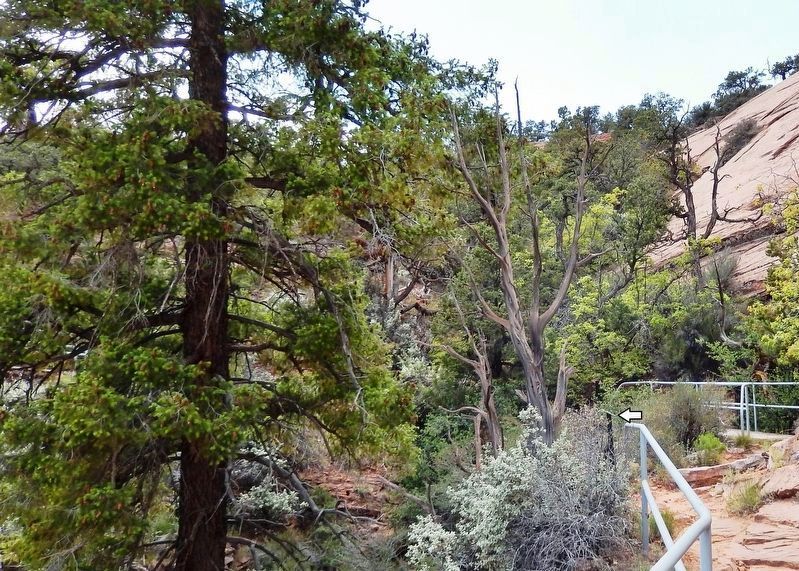
2. Douglas Fir Marker • wide view
(marker visible beside railing)
(marker visible beside railing)
Also see . . . Pseudotsuga (Wikipedia). A California Native American myth explains that each three-ended bract is the tail and two tiny legs of a mouse that hid inside the scales of the tree's cones during forest fires, and the tree was kind enough to be its enduring sanctuary. (Submitted on January 14, 2020, by Cosmos Mariner of Cape Canaveral, Florida.)
Photographed by Cosmos Mariner, May 24, 2016
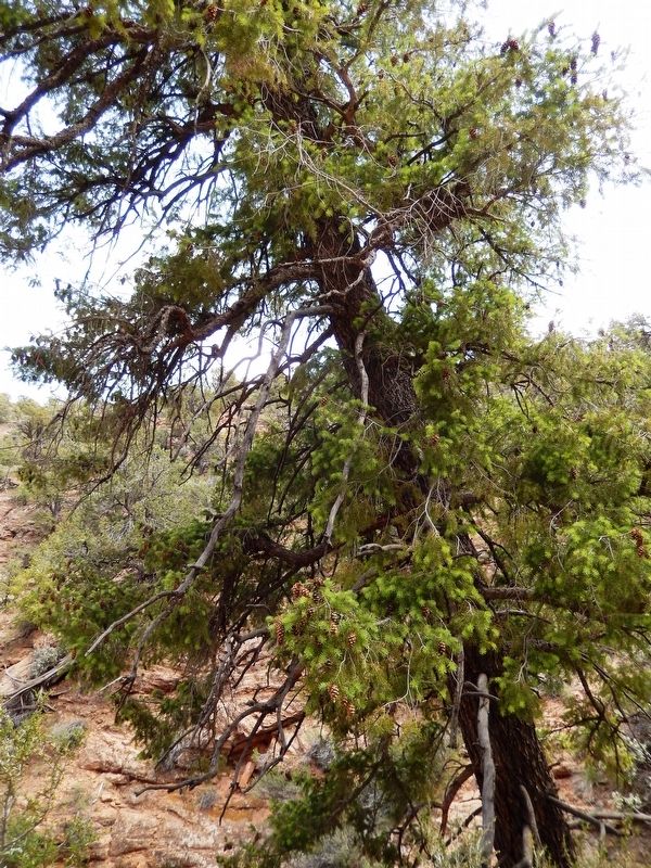
3. Douglas Fir (Pseudotsuga taxifolia)
(located beside the trail, near marker)
(located beside the trail, near marker)
Photographed by Cosmos Mariner, May 24, 2016
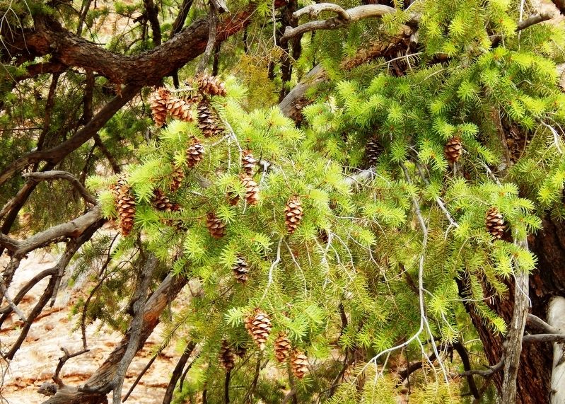
4. Douglas Fir (Pseudotsuga taxifolia)
(located beside the trail, near marker)
(located beside the trail, near marker)
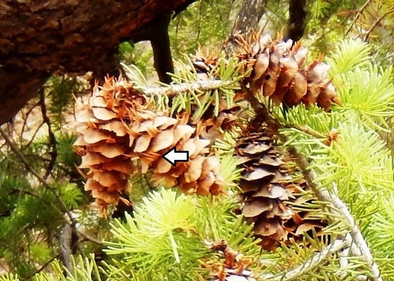
Photographed by Cosmos Mariner, May 24, 2016
5. Douglas Fir Cone detail
The female cones are distinctive in having a long, three-pointed bract that protrudes prominently above each scale. It resembles the back half of a mouse, with two feet and a tail.
Credits. This page was last revised on January 14, 2020. It was originally submitted on January 12, 2020, by Cosmos Mariner of Cape Canaveral, Florida. This page has been viewed 410 times since then and 28 times this year. Photos: 1, 2, 3, 4, 5. submitted on January 14, 2020, by Cosmos Mariner of Cape Canaveral, Florida.
