Charlestown in Cecil County, Maryland — The American Northeast (Mid-Atlantic)
Charlestown
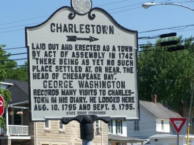
Photographed by Beverly Pfingsten, July 14, 2007
1. Charlestown Marker
Erected 1934 by State Roads Commission.
Topics and series. This historical marker is listed in these topic lists: Colonial Era • Patriots & Patriotism • Settlements & Settlers. In addition, it is included in the Former U.S. Presidents: #01 George Washington, the George Washington Slept Here, and the Maryland Historical Trust series lists.
Location. 39° 34.409′ N, 75° 58.575′ W. Marker is in Charlestown, Maryland, in Cecil County. It is at the intersection of Market Street and Bladen Street, on the right when traveling east on Market Street. Touch for map. Marker is in this post office area: Charlestown MD 21914, United States of America. Touch for directions.

Regionally, this marker is in Greater Wilmington, on the Eastern Shore, and in Greater Philadelphia. It is also in the American Mid-Atlantic,
this page online
Other nearby markers. At least 8 other markers are within 3 miles of this marker, measured as the crow flies: Lt. Col. Nathaniel Ramsay (within shouting distance of this marker); Charlestown's Civil War Veterans (about 400 feet away, measured in a direct line); Geo Washington Traveled This Road (about 700 feet away); Capt. Michael Rudulph (approx. ¼ mile away); Susquehanna Manor (approx. ¼ mile away); Shrewd Decision (approx. ¼ mile away); Site of Charlestown Wharf (approx. ¼ mile away); 29th Infantry Division Memorial (approx. 2.1 miles away). Touch for a list and map of all markers in Charlestown.
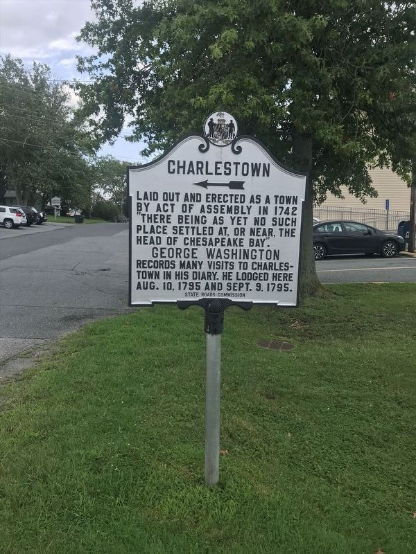
Photographed by Adam Margolis
2. Charlestown Marker
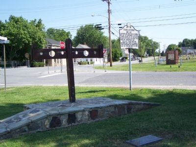
Photographed by Beverly Pfingsten, July 14, 2007
3. Stocks in center of Charlestown at Post Office and Town Hall
Credits. This page was last revised on December 25, 2024. It was originally submitted on July 14, 2007, by Bill Pfingsten of Bel Air, Maryland. This page has been viewed 2,518 times since then and 42 times this year. Last updated on January 12, 2020, by Carl Gordon Moore Jr. of North East, Maryland. Photos: 1. submitted on July 14, 2007, by Bill Pfingsten of Bel Air, Maryland. 2. submitted on January 9, 2022, by Adam Margolis of Mission Viejo, California. 3. submitted on July 14, 2007, by Bill Pfingsten of Bel Air, Maryland.
