Cambridge in Dorchester County, Maryland — The American Northeast (Mid-Atlantic)
The River
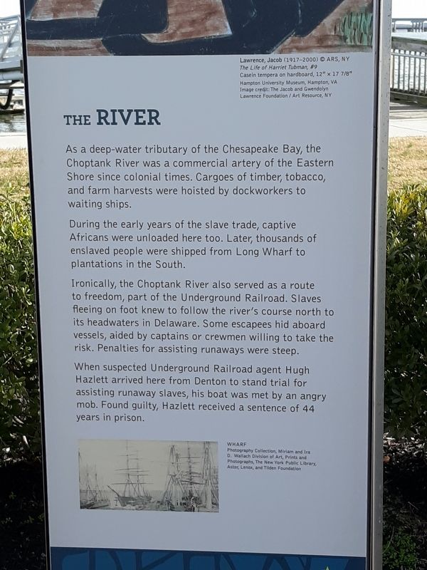
During the early years of the slave trade, captive Africans were unloaded here too. Later, thousands of enslaved people were shipped from Long Wharf to plantations in the south.
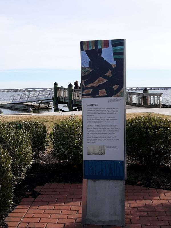
Ironically, the Choptank River also served as a route to Freedom, part of the Underground Railroad. Slaves fleeing on foot knew to follow the river's course north to its headwaters in Delaware. Some escapees hid aboard vessels, aided by Captains or crewmen willing to take the risk. Penalties for assisting runaways were steep.
When suspected Underground Railroad Agent Hugh Hazlett arrived here from Denton to stand trial for assisting runaway slaves, his boat was met by an angry mob. Found guilty Hazlett received a sentence of 44 years in prison.
Wharf
Photography Collection, Miriam and Ira D. Wallach Division of Art, Prints and Photographs, the New York Public Library, Astor,Lenox and Tilden Foundation.
Topics. This historical marker is listed in these topic lists: Abolition & Underground RR • African Americans • Parks & Recreational Areas.
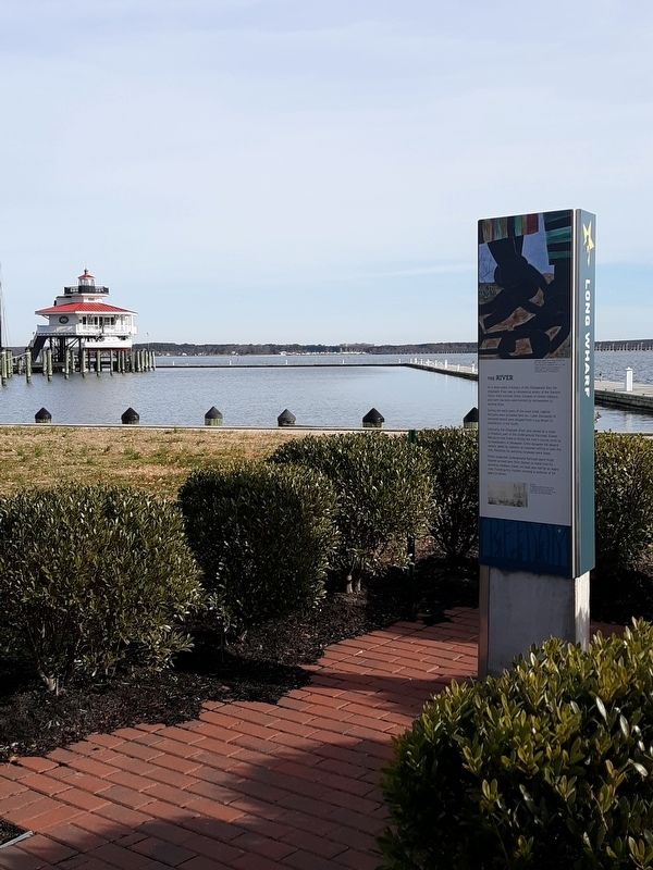
Location. 38° 34.5′ N, 76° 4.333′ W. Marker is in Cambridge, Maryland, in Dorchester County. Marker can be reached from High Street. Christs Rock, Long Wharf. Touch for map. Marker is in this post office area: Cambridge MD 21613, United States of America. Touch for directions.
Other nearby markers. At least 8 other markers are within walking distance of this marker. World War I Memorial (within shouting distance of this marker); Distinguished Service Cross (within shouting distance of this marker); To the memory of Franklin Delano Roosevelt (within shouting distance of this marker); Long Wharf (about 300 feet away, measured in a direct line); World War II (about 400 feet away); Cambridge House B&B (about 700 feet away); The Launch Boat (about 700 feet away); Privy Station (about 800 feet away). Touch for a list and map of all markers in Cambridge.
Regarding The River. Underground Railroad on the Choptank River
Hugh Hazlett, Underground Railroad Agent
Additional keywords. Long Wharf
Credits. This page was last revised on January 15, 2020. It was originally submitted on January 13, 2020, by Maggie Prats Lora of Silver Spring, Maryland. This page has been viewed 125 times since then and 11 times this year. Photos: 1, 2, 3. submitted on January 13, 2020, by Maggie Prats Lora of Silver Spring, Maryland. • Bill Pfingsten was the editor who published this page.


