North Branch in Allegany County, Maryland — The American Northeast (Mid-Atlantic)
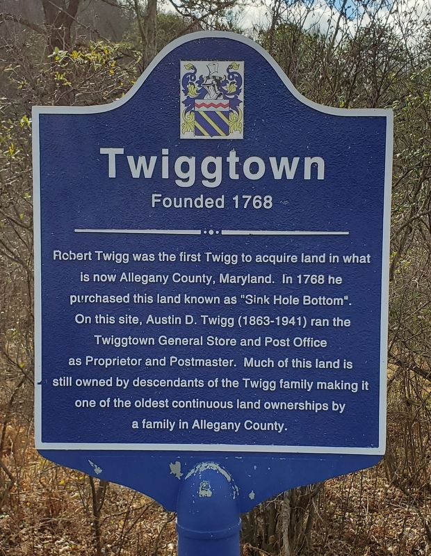
Twiggtown
Founded 1768
Topics. This historical marker is listed in these topic lists: Colonial Era • Industry & Commerce • Settlements & Settlers. A significant historical year for this entry is 1768.
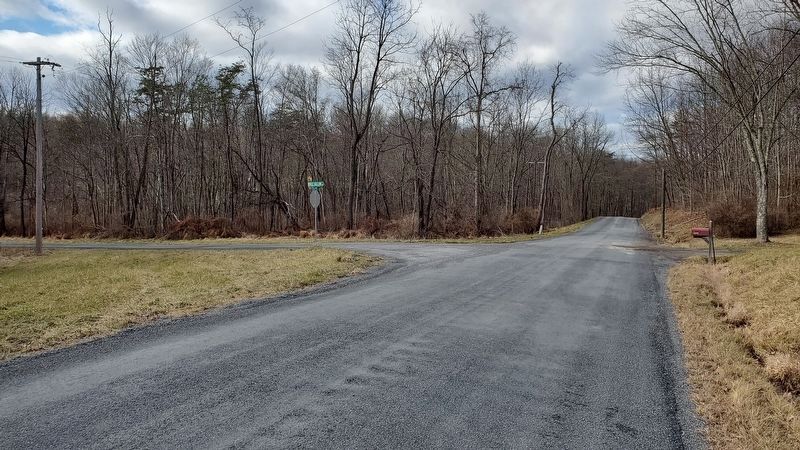
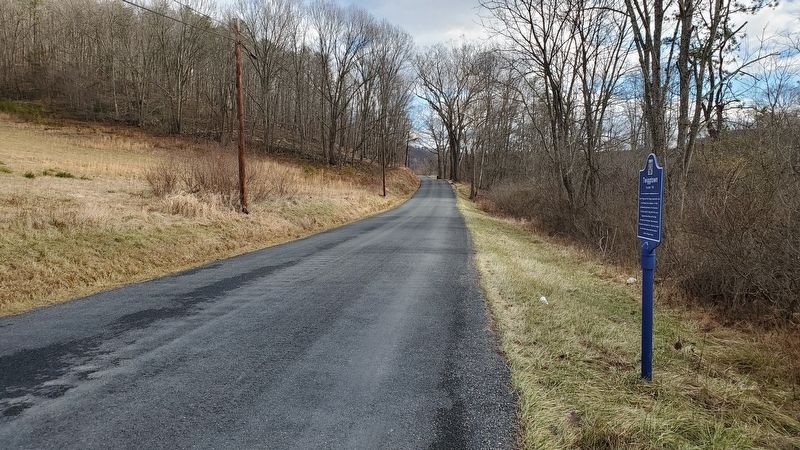
Location. 39° 38.377′ N, 78° 39.3′ W. Marker is in North Branch, Maryland, in Allegany County. Marker is at the intersection of Williams Road Southeast and Brice Hollow Road, on the right when traveling east on Williams Road Southeast. Marker is about 100 feet east of the intersection. Touch for map. Marker is in this post office area: Flintstone MD 21530, United States of America. Touch for directions.
Other nearby markers. At least 8 other markers are within 5 miles of this marker, measured as the crow flies. Martins Mountain (approx. 3.9 miles away); Veterans Memorial (approx. 4.1 miles away); Ali Ghan Shriners Legion of Honor (approx. 4.2 miles away); Folck's Mill (approx. 4.2 miles away); a different marker also named Folck's Mill (approx. 4.2 miles away); American Indian Rockshelter Trail (approx. 4.2 miles away); The Naming of the Lake (approx. 4.2 miles away); Life in Pleasant Valley (approx. 4.2 miles away).
Credits. This page was last revised on January 18, 2020. It was originally submitted on January 18, 2020, by F. Robby of Baltimore, Maryland. This page has been viewed 1,247 times since then and 157 times this year. Photos: 1, 2, 3. submitted on January 18, 2020, by F. Robby of Baltimore, Maryland.


