Marlow in Stephens County, Oklahoma — The American South (West South Central)
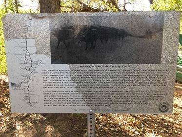
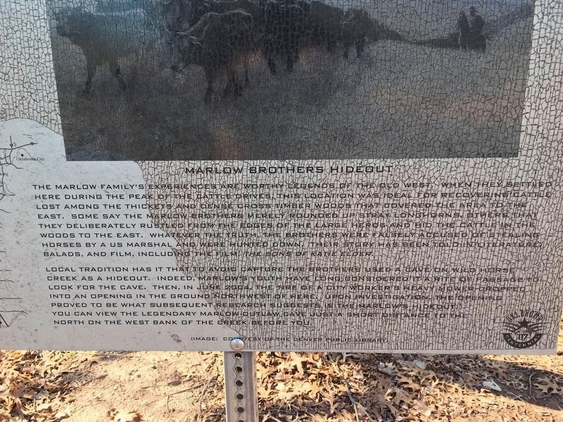
Marlow Brothers Hideout
The Marlow family's experiences are worthy legends of the old west. When they settled here during the peak of the cattle drives, this location was ideal for recovering cattle lost among the thickets and dense cross timber woods that covered the area to the east. Some say the Marlow brothers merely rounded up stray longhorns, others that they deliberately rustled from the edges of the large herds and hid the cattle in the woods to the east. Whatever the truth, the brothers were falsely accused of stealing horses by a US Marshal and were hunted down. Their story has been told in literature, ballads and film, including the film: The Sons of Katie Elder.
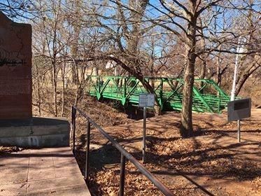
Local tradition has it that to avoid capture the brothers used a cave on Wild Horse Creek as a hideout. Indeed Marlow's youth considered it a rite of passage to look for the cave. Then, in June 2004, the tire of a city worker's heavy mower dropped into an opening in the ground northwest of here. Upon investigation, the opening prove to be what subsequent research suggests is the Marlow's hideout. you can view the legendary Marlow Outlaw Cave just a short distance to the north on the west bank of the creek before you.
Image: Courtesy of the Denver Public Library
Erected 2007 by Oklahoma Centennial Commemoration Commission.
Topics. This historical marker is listed in these topic lists: Animals • Law Enforcement • Settlements & Settlers.
Location. 34° 38.872′ N, 97° 57.064′ W. Marker is in Marlow, Oklahoma, in Stephens County. Marker is at the intersection of North Elm Street and East Main Street, on the right when traveling south on North Elm Street. This marker is in the southeast corner of Redbud Park. Touch for map. Marker is in this post office area: Marlow OK 73055, United States of America. Touch for directions.
Other nearby markers. At least 8 other markers are within 10 miles of this marker, measured as the crow flies. On the Chisholm Trail (here, next to this marker); The Marlow Brothers (a few steps from this marker); Redbud Chapel (within shouting distance of this marker); Halliburton (approx. 9.4 miles away); POW-MIA (approx. 9˝ miles away); Vietnam War (approx. 9˝ miles away); Lest We Forget (approx. 9˝ miles away); Duty, Honor and Country (approx. 9˝ miles away). Touch for a list and map of all markers in Marlow.
Credits. This page was last revised on February 9, 2020. It was originally submitted on December 24, 2019, by Jerome Walker of Moore, Oklahoma. This page has been viewed 488 times since then and 65 times this year. Last updated on January 22, 2020, by Jerome Walker of Moore, Oklahoma. Photos: 1. submitted on December 24, 2019, by Jerome Walker of Moore, Oklahoma. 2, 3. submitted on January 13, 2020, by Jerome Walker of Moore, Oklahoma. • J. Makali Bruton was the editor who published this page.


