Pasadena in Los Angeles County, California — The American West (Pacific Coastal)
San Gabriel Mission Dam
1821-1822
| — | La Presa | — |
Photographed by Craig Baker, January 22, 2020
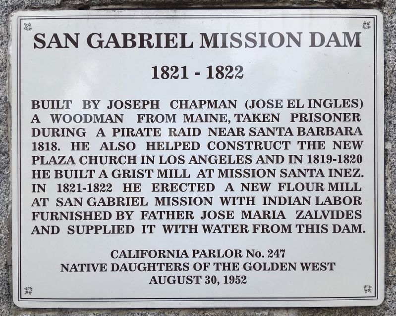
1. San Gabriel Mission Dam Marker
Built by Joseph Chapman (Jose el Ingles), a woodman from Maine, taken prisoner during a pirate raid near Santa Barbara in 1818. He also helped construct the new Plaza Church in Los Angeles, and in 1819-1820 he built a grist mill at Mission Santa Inez. In 1821-1822 he erected a new flour mill at San Gabriel Mission with Indian labor furnished by Father Jose Maria Zalvides and supplied it with water from this dam.
Erected 1952 by Native Daughters of the Golden West.
Topics and series. This historical marker is listed in these topic lists: Indigenous Peoples and Communities • Industry & Commerce • Religion & Religious Structures. In addition, it is included in the Native Sons/Daughters of the Golden West series list. A significant historical year for this entry is 1821.
Location. 34° 7.804′ N, 118° 5.106′ W. Marker is in Pasadena, California, in Los Angeles County. It is on La Presa Drive north of Huntington Drive, on the left when traveling north. Touch for map. Marker is in this post office area: Pasadena CA 91107, United States of America. Touch for directions.

Regionally, this marker is in Greater
this page online
Other nearby markers. At least 8 other markers are within 2 miles of this marker, measured as the crow flies: Michael White Adobe (approx. 0.8 miles away); Chihuahuita School (approx. 1.4 miles away); Camellia Japonica ‘California’ (approx. 1.6 miles away); The Huntington Flagpole (approx. 1.6 miles away); Queensland Kauri (approx. 1.7 miles away); The Historic Rose Garden Tea Room (approx. 1.7 miles away); Dry Landscape Garden (approx. 1.8 miles away); Japanese Heritage Shōya House (approx. 1.8 miles away).
Regarding San Gabriel Mission Dam. The Native American settlement of Akuuronga was likely located near “La Presa” (The Dam), a stone dam built in 1821 to serve the Mission San Gabriel. Fed by an artesian spring, the site was an ideal settlement location.
The area had a long occupation
Photographed by Craig Baker, January 22, 2020
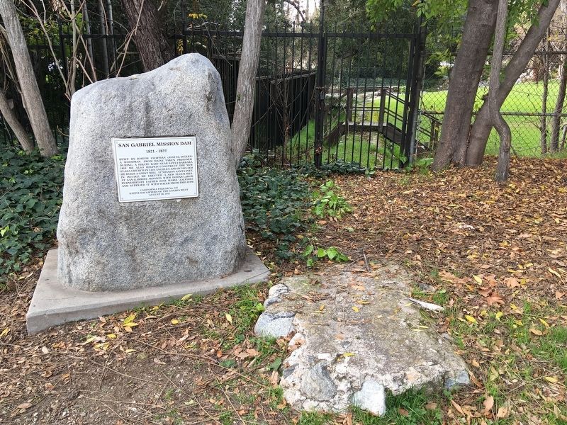
2. San Gabriel Mission Dam and Marker
The property is owned by the Sunny Slope Water Company, since 1895.
Related marker. Click here for another marker that is related to this marker. — Chapman’s Mill and Millrace, whose water supply came from this dam.
Photographed by Craig Baker, January 22, 2020
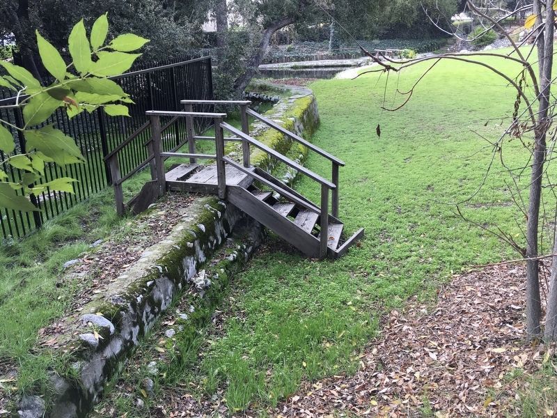
3. San Gabriel Mission Dam
Viewed through the fence.
Photographed by Adam Margolis, April 16, 2026
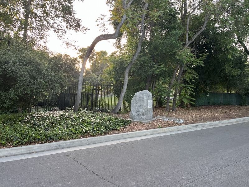
4. San Gabriel Mission Dam Marker
Credits. This page was last revised on April 23, 2026. It was originally submitted on January 24, 2020, by Craig Baker of Sylmar, California. This page has been viewed 2,695 times since then and 205 times this year. Photos: 1, 2, 3. submitted on January 24, 2020, by Craig Baker of Sylmar, California. 4. submitted on April 23, 2026, by Adam Margolis of Mission Viejo, California. • Syd Whittle was the editor who published this page.
