Fernandina Beach in Nassau County, Florida — The American South (South Atlantic)
The Plaza
Fernandina Plaza Historic State Park
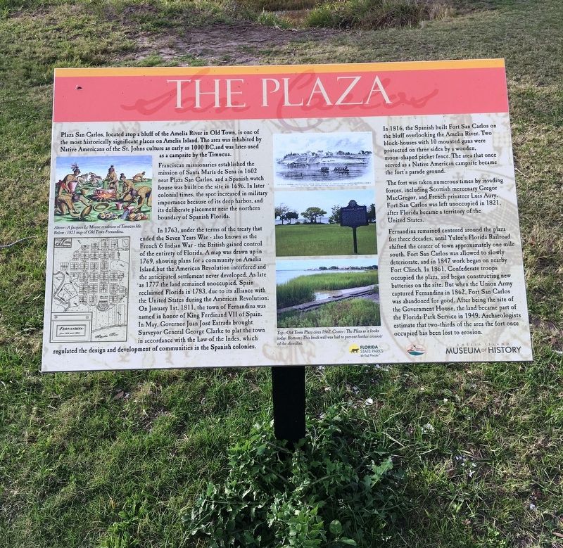
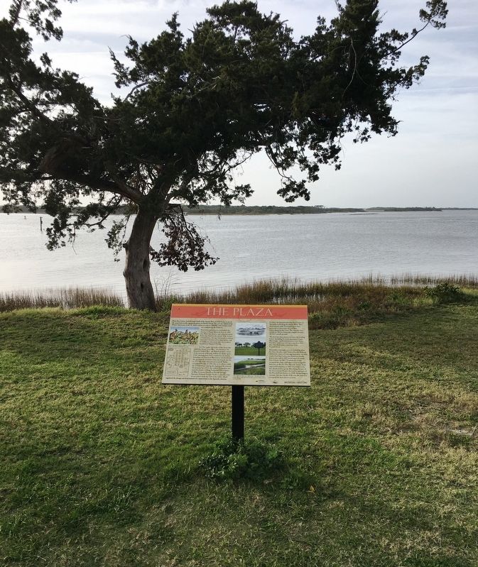
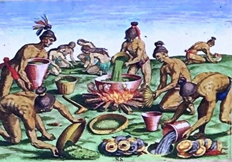
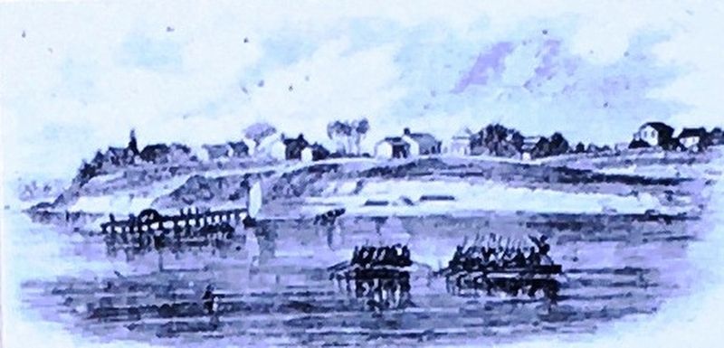
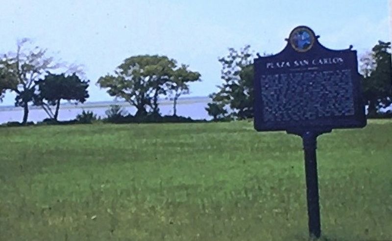
Plaza San Carlos, located atop a bluff of the Amelia River in Old Town, is one of the most historically significant places on Amelia Island. The area was inhabited by Native Americans of St. Johns culture as early as 1000 BC, and was later used as a campsite by the Timucua.
Franciscan missionaries established the mission of Santa Maria de Sena in 1602 near Plaza San Carlos, and a Spanish watch house was built on the site in 1696. In later colonial times, the spot increased in military importance because of its deep harbor, and its deliberate placement near the northern boundary of Spanish Florida.
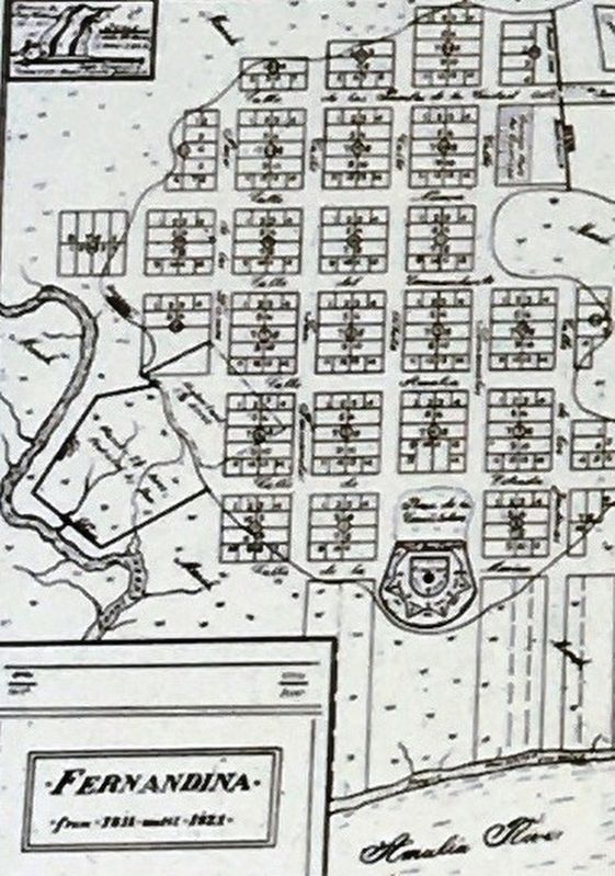
In 1763, under the terms of the treaty that ended the Seven Years War – also known as the French & Indian War – the British gained control of the entirety of Florida. A map was drawn up in 1769, showing plans for a community on Amelia Island, but the American Revolution interfered and the anticipated settlement never developed. As late as 1777 the land remained unoccupied. Spain reclaimed Florida in 1783, due to its alliance with United States during the American Revolution. On January 1st. 1811, the town of Fernandina was named in honor of King Ferdinand VII of Spain. In May, Governor Juan Jose Estrada brought Surveyor General George Clarke to plat the town in accordance with the Law of the Indies, which regulated the design and development of communities in the Spanish colonies.
In 1816, the Spanish built Fort San Carlos on the bluff overlooking the Amelia River. Two block-houses with 10 mounted guns were protected on three sides by a wooden, moon-shaped picket fence. The area that once served as a Native American campsite became the fort’s parade ground.
The fort was taken numerous times by invading forces, including Scottish mercenary Gregor MacGregor, and French privateer Luis Aury. Fort San Carlos was left unoccupied in 1821, after Florida became a territory of the United States
Fernandina remained centered around the plaza for three decades, until Yulee’s Florida Railroad shifted the center of town approximately one mile south. Fort San Carlos was allowed to slowly deteriorate , and in 1847 work began on nearby Fort Clinch. In 1861, Confederate troops occupied the plaza, and began constructing new batteries on the site. But when the Union Army captured Fernandina in 1862. Fort San Carlos was abandoned for good. After being the site of the Government House, the land became part of the Florida Park Service in 1949. Archaeologists estimate that two-thirds of the area the fort once occupied has been lost to erosion.
Erected by Florida State Parks, Friends of Fort Clinch and the Amelia Island Museum of History.
Topics. This historical marker is listed in these topic lists: Forts and Castles • Native Americans • Settlements & Settlers • War, US Civil.
Location. 30° 41.327′ N, 81° 27.411′ W. Marker is in Fernandina Beach, Florida, in Nassau County. Marker is at the intersection of Estrada Street and White Street, on the right when traveling south on Estrada Street. Marker located within the Fernandina Plaza Historic State Park. Touch for map. Marker is at or near this postal address: 715 San Fernando St, Fernandina Beach FL 32034, United States of America. Touch for directions.
Other nearby markers. At least 8 other markers are within walking distance of this marker. Shipwreck, Slavery and Survival (a few steps from this marker); Fort Clinch Military Road (a few steps from this marker); 6-Pound Cannon (a few steps from this marker); The UNESCO Slave Route Project: Resistance, Liberty, Heritage (a few steps from this marker); Fort San Carlos (within shouting distance of this marker); Plaza San Carlos (within shouting distance of this marker); Old Town (approx. ¼ mile away); McClure's Hill (approx. 0.6 miles away). Touch for a list and map of all markers in Fernandina Beach.
Credits. This page was last revised on January 26, 2020. It was originally submitted on January 25, 2020, by Brandon D Cross of Flagler Beach, Florida. This page has been viewed 305 times since then and 54 times this year. Photos: 1, 2, 3, 4, 5, 6. submitted on January 25, 2020, by Brandon D Cross of Flagler Beach, Florida. • Bernard Fisher was the editor who published this page.
