St. Marys in Camden County, Georgia — The American South (South Atlantic)
The St Marys Peace Garden
Binational Heritage Peace Garden Trail
— Dedicated Jul 4, 2012 —
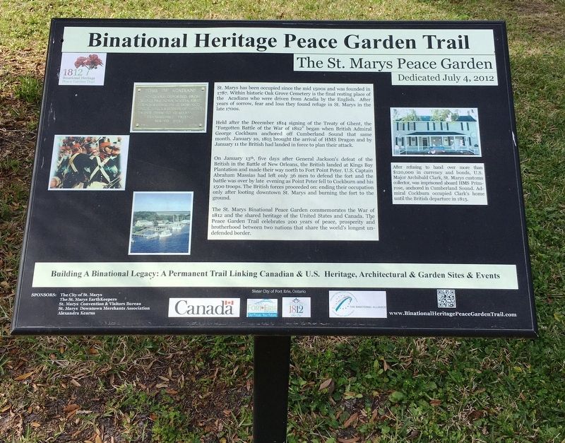
St. Marys has been occupied since the mid 1500s and was founded in 1787. Within historic Oak Grove Cemetery is the final resting place of the Arcadians who were driven from Arcadia by the English. After years of sorrow, fear and loss they found refuge in St. Marys in the late 1700s.
Held after the December 1814 signing of the Treaty of Ghent, the “Forgotten Battle of the War of 1812” began when British Admiral George Cockburn anchored off Cumberland Sound that same month. January 10, 1815 brought the arrival of HMS Dragon and by January 11 the British had landed in force to plan their attack.
On January 13th, five days after General Jackson’s defeat of the British at the Battle of New Orleans, the British landed at Kings Bay Plantation and made their way north Fort Point Peter. U.S. Captain Abraham Massias had left only 36 men to defend the fort and the battle was over by late evening as Point Peter fell to Cockburn and his 1500 troops. The British forces proceeded on: ending their occupation only after looting downtown St. Marys and buring the fort to the ground.
The St. Marys Binational Peace Garden commemorates the War of 1812 and the shared heritage of the United States and Canada. The Peace Garden Trail celebrates 200 years of peace, prosperity, and brotherhood between two nations that share the world’s longest undefended border.
Erected 2012 by The City of St Marys, The St Marys EarthKeepers, St Marys Convention & Visitors Bureau, St Marys Downtown Merchants Association, Alexandra Kearns.
Topics. This historical marker is listed in these topic lists: Parks & Recreational Areas • Settlements & Settlers • War of 1812. A significant historical date for this entry is January 10, 1815.
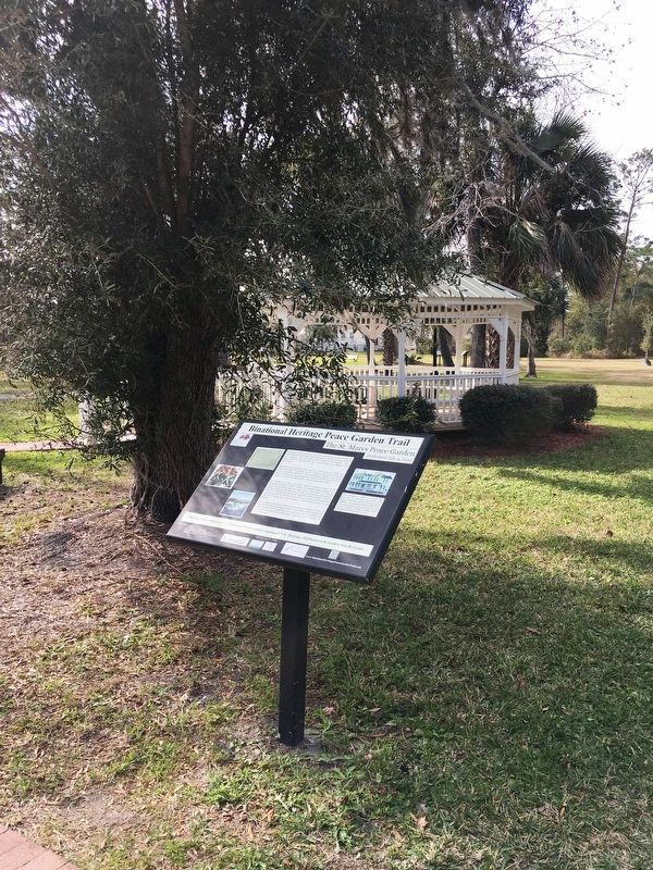
Location. 30° 43.314′ N, 81° 33.209′ W. Marker is in St. Marys, Georgia, in Camden County. Marker is at the intersection of Bartlett Street and St. Marys Street west, on the left when traveling north on Bartlett Street. Marker located within the St. Marys History Walk. Touch for map. Marker is at or near this postal address: 101 Bartlett St, Saint Marys GA 31558, United States of America. Touch for directions.
Other nearby markers. At least 8 other markers are within walking distance of this marker. The Birth of a City (a few steps from this marker); Georgia’s Spanish Period (a few steps from this marker); The Lost Native Americans (a few steps from this marker); The Washington Pump & Oak (a few steps from this marker); Industry finds St. Marys (a few steps from this marker); St. Marys: A Military Town for 200+ Years (within shouting distance of this marker); The Tragic Acadians (within shouting distance of this marker); International Border Town (within shouting distance of this marker). Touch for a list and map of all markers in St. Marys.

Photographed By Brandon D Cross, January 18, 2020
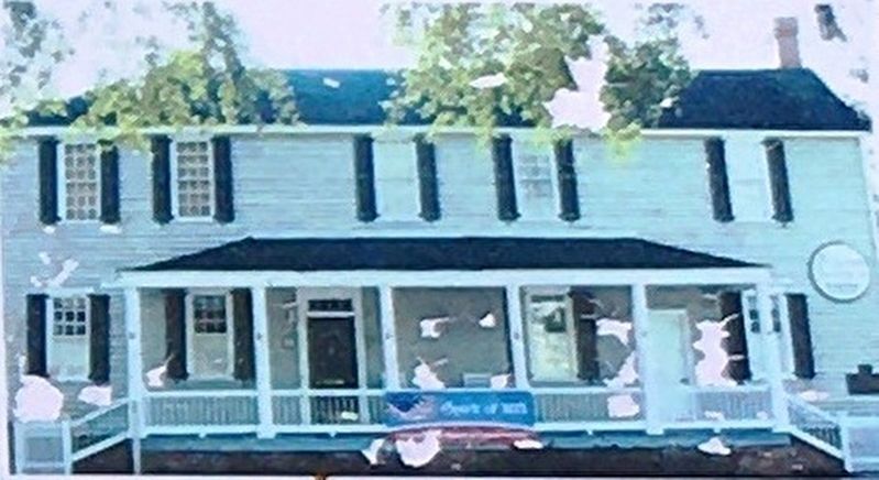
3. Photo Insert: U.S. Major Archibald Clark’s home
After refusing to hand over more than $120,000 in currency and bonds, U.S. Major Archibald Clark, St. Marys customs collector, was imprisoned aboard HMS Primrose, anchored in Cumberland Sound. Admiral Cockburn occupied Clark’s home until the British departure in 1815.
Credits. This page was last revised on January 27, 2020. It was originally submitted on January 26, 2020, by Brandon D Cross of Flagler Beach, Florida. This page has been viewed 216 times since then and 23 times this year. Photos: 1, 2, 3. submitted on January 26, 2020, by Brandon D Cross of Flagler Beach, Florida. • Bernard Fisher was the editor who published this page.

