
Near Mettler in Kern County, California — The American West (Pacific Coastal)
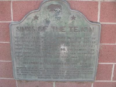
Sinks of the Tejon
Photographed by Denise Boose, December 18, 2011
1. Sinks Of The Tejon
Erected 1956 by Kern County Historical Society El Tejon Parlor No. 239, Native Daughers of the Golden West, and Kern County Museum. (Marker Number 540.)
Topics and series. This historical marker is listed in this topic list: Roads & Vehicles. In addition, it is included in the Butterfield Overland Mail, the California Historical Landmarks, and the Native Sons/Daughters of the Golden West series lists.
Location. 35° 5.57′ N, 118° 54.903′ W. Marker is near Mettler, California, in Kern County. It is at the intersection of David Road and North Wheeler Ridge Road, on the right when traveling east on David Road. Marker is located on the southwest corner. Touch for map. Marker is at or near this postal address: 4941 David Road, Arvin CA 93203, United States of America. Touch for directions.

Regionally, this marker is in California’s
this page online
Other nearby markers. At least 6 other markers are within 13 miles of this marker, measured as the crow flies: Fages-Zalvidea Trails (approx. 8.9 miles away); Arvin Veterans (approx. 9.4 miles away); Francisco Garces O.F.M (approx. 9.6 miles away); Rose Station (approx. 10½ miles away); Sebastian Indian Reservation (approx. 10½ miles away); Kern River Slough (approx. 12.4 miles away).
Regarding Sinks of the Tejon. The station was called the Sinks of the Tejon because that's where, during the dry season, the water of Tejon Creek sinks into the ground as it flows toward Kern Lake.
Photographed by Denise Boose, December 18, 2011
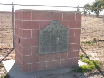
2. Sinks of the Tejon Marker
Photographed by Denise Boose, December 18, 2011
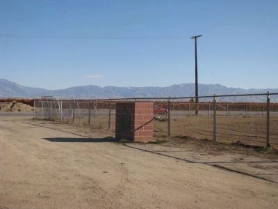
3. Sinks of the Tejon Marker
This marker is located next to the school yard fence at the intersection of David and Wheeler Ridge Road.
Photographed by Denise Boose, December 18, 2011
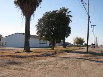
4. Turning Point Drug Treatment Center
This was the Meridian Elementary School.
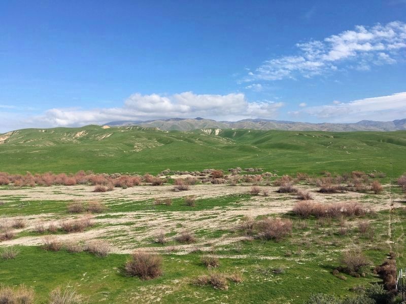
Photographed by Craig Baker, January 28, 2020
5. Sinks of the Tejon
Six miles east of the marker.
Credits. This page was last revised on August 6, 2025. It was originally submitted on January 16, 2012, by Denise Boose of Tehachapi, California. This page has been viewed 1,613 times since then and 87 times this year. Last updated on January 29, 2020, by Craig Baker of Sylmar, California. Photos: 1, 2, 3, 4. submitted on January 16, 2012, by Denise Boose of Tehachapi, California. 5. submitted on January 29, 2020, by Craig Baker of Sylmar, California. • J. Makali Bruton was the editor who published this page.
