St. Marys in Camden County, Georgia — The American South (South Atlantic)
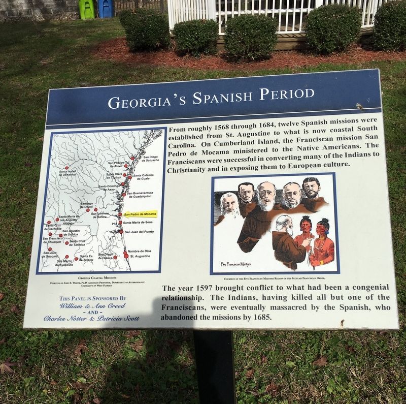
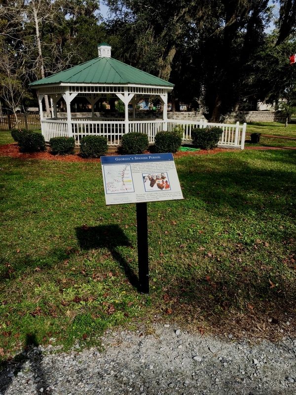
Georgia’s Spanish Period
St. Marys History Walk
Photographed by Brandon D Cross, January 18, 2020
1. Georgia’s Spanish Period Marker
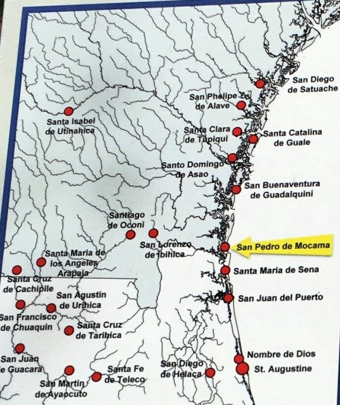
From roughly 1568 through 1684, twelve Spanish missions were established from St. Augustine to what is now coastal South Carolina. On Cumberland Island, the Franciscan mission San Pedro de Mocama ministered to the Native Americans. The Franciscans were successful in converting many of the Indians to Christianity and in exposing them to European culture.
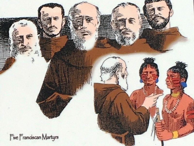
The year 1597 brought conflict to what had been a congenial relationship. The Indians, having killed all but one of the Franciscans, were eventually massacred by the Spanish, who abandoned the missions in 1685.
Erected 2016 by William & Ann Creed and Charles Notter & Patricia Scott.
Topics. This historical marker is listed in these topic lists: Indigenous Peoples and Communities • Parks & Recreational Areas • Religion & Religious Structures • Settlements & Settlers. A significant historical year for this entry is 1568.
Location. 30° 43.308′ N, 81° 33.219′ W. Marker is in St. Marys, Georgia, in Camden County. It can be reached from the intersection of Bartlett Street and St Marys Street West, on the left when traveling north. Marker located within the
this page online

Regionally, this marker is on Georgia’s Coastal Plain, on the Georgia Coast and the Golden Isles, and on the Sea Islands. It is also in the American South, specifically in the Deep South, and on the Eastern Seaboard. Globally, it is in the North Atlantic Region, North America, the Western Hemisphere, the Western World, and the Anglosphere. Historically, it finds itself in what was once New Spain, the territory of the Mississippian Culture, one of the original Thirteen Colonies, one of the Confederate States of America, and the Antebellum South.
Other nearby markers. At least 8 other markers are within walking distance of this marker: The Washington Pump & Oak (here, next to this marker); Industry finds St. Marys (here, next to this marker); The Birth of a City (a few steps from this marker); The Tragic Acadians (a few steps from this marker); The St Marys Peace Garden (a few steps from this marker); St. Marys: A Military Town for 200+ Years (a
Photographed by Brandon D Cross, January 18, 2020
2. Georgia’s Spanish Period Marker
Photographed by Brandon D Cross, January 18, 2020
3. Photo Insert Left Side: Georgia Coastal Missions
Courtesy of John E. Worth, Ph.D. Associate Professor,
Department of Anthropology, University of West Florida
Department of Anthropology, University of West Florida
Photographed by Brandon D Cross, January 18, 2020
4. Photo Insert Right Side: Five Franciscan Martyrs
Courtesy of the Five Franciscan Martyrs Region
of the Secular Franciscan Order.
of the Secular Franciscan Order.
Photographed by Brandon D Cross, January 18, 2020
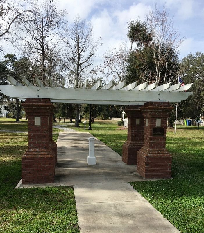
5. Entrance to St. Marys History Walk
Photographed by Brandon D Cross, January 18, 2020
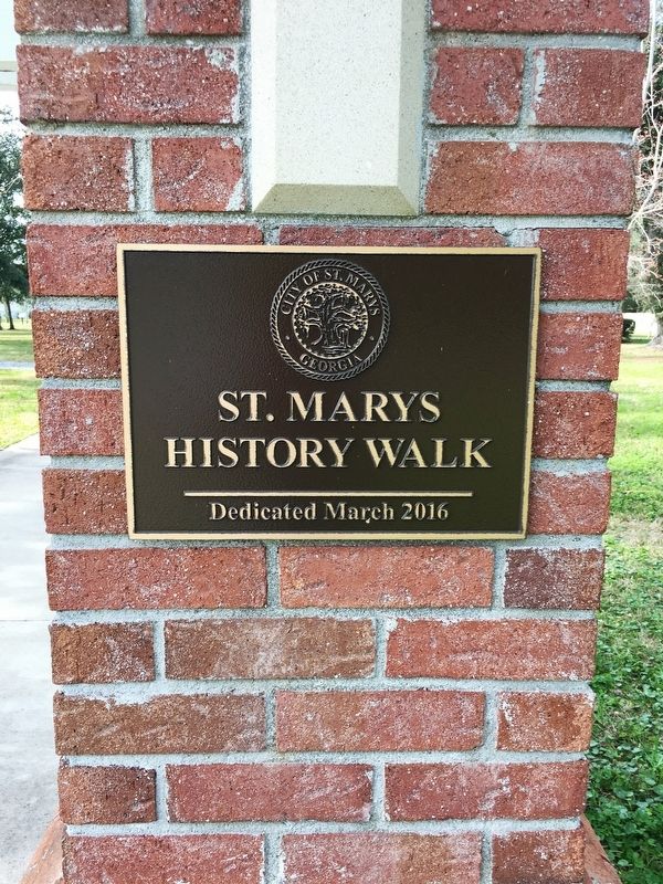
6. St. Marys History Park commemoration plaque
Credits. This page was last revised on September 21, 2020. It was originally submitted on January 29, 2020, by Brandon D Cross of Flagler Beach, Florida. This page has been viewed 1,464 times since then and 73 times this year. Photos: 1, 2, 3, 4, 5, 6. submitted on January 29, 2020, by Brandon D Cross of Flagler Beach, Florida. • Bernard Fisher was the editor who published this page.
