St. Marys in Camden County, Georgia — The American South (South Atlantic)
The Civil War: Local Landmarks
St. Marys History Walk
Photographed by Brandon D Cross, January 18, 2020
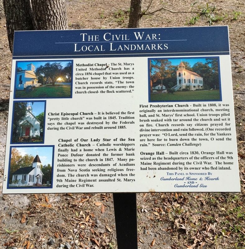
1. The Civil War: Local Landmarks Marker
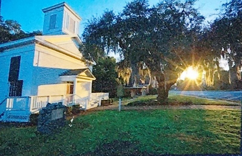
Methodist Chapel - The St. Marys United Methodist Church has a circa 1856 chapel that was used as a butcher house by Union troops. Church records state, "The town was in possession of the enemy – the church closed – the flock scattered."
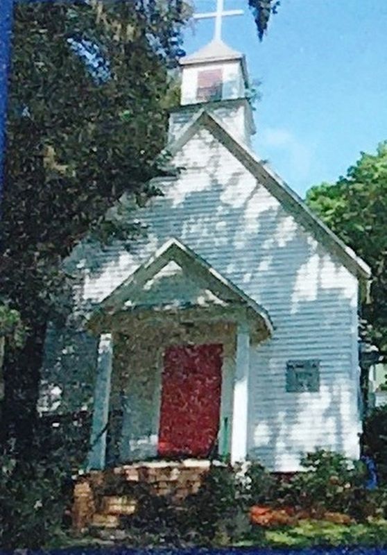
Christ Episcopal Church - It is believed the first “pretty little church” was built in 1845. Tradition says the chapel was destroyed by the Federals during the Civil War and rebuilt around 1885.
Chapel of Our Lady Star of the Sea Catholic Church - Catholic worshippers finally had a home when Louis & Marie Ponce Dufour donated the former bank building to the church in 1847. Many parishioners were descendants of Acadians from Nova Scotia seeking religious freedom. The church was damaged when the 9th Maine Regiment assaulted St. Marys during the Civil War.
First Presbyterian Church - Built in 1808, it was originally an interdenominational church, meeting hall, and St. Marys first school. Union troops piled brush soaked with tar around the church and set it on fire. Church records say citizens prayed for divine intervention and rain followed. (one recorded
this page online
Orange Hall - Built circa 1830, Orange Hall was seized as the headquarters of the officers of the 9th Maine, Regiment during the Civil War. The home had been abandoned by its owner fled inland.
Erected 2016 by Cumberland Home & Hearth and Cumberland Gas.
Topics. This historical marker is listed in these topic lists: Religion & Religious Structures • War, US Civil.
Location. 30° 43.285′ N, 81° 33.216′ W. Marker is in St. Marys, Georgia, in Camden County. It can be reached from the intersection of Bartlett Street and St Marys Street West, on the left when traveling north. Located within the St. Marys History Walk. Touch for map. Marker is at or near this postal address: 101 Bartlett St, Saint Marys GA 31558, United States of America. Touch for directions.

Regionally, this marker is on the Coastal Plain, on the Georgia Coast and the Golden Isles, and on the Sea Islands. It is also in the American South, specifically in the Deep
Photographed by Brandon D Cross, January 18, 2020
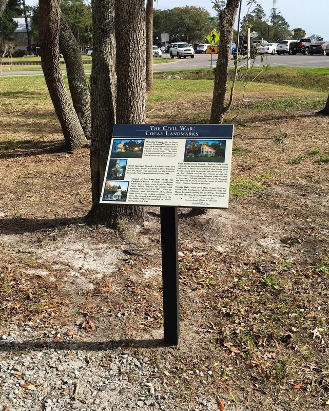
2. The Civil War: Local Landmarks Marker
Other nearby markers. At least 8 other markers are within walking distance of this marker: The Civil War: Local People (here, next to this marker); The Civil War Comes to St. Marys (here, next to this marker); Southern Signature (a few steps from this marker); St. Marys: A Military Town for 200+ Years (a few steps from this marker); The Enduring Gullah (within shouting distance of this marker); Georgia’s Coastal Gem: (within shouting distance of this marker); The Birth of a City (within shouting distance of this marker); Georgia’s Spanish Period (within shouting distance of this marker). Touch for a list and map of all markers in St. Marys.
Photographed by Brandon D Cross, January 18, 2020
3. Photo Insert Top Left: Methodist Chapel
Photographed by Brandon D Cross, January 18, 2020
4. Photo Insert Middle Left: Christ Episcopal Church
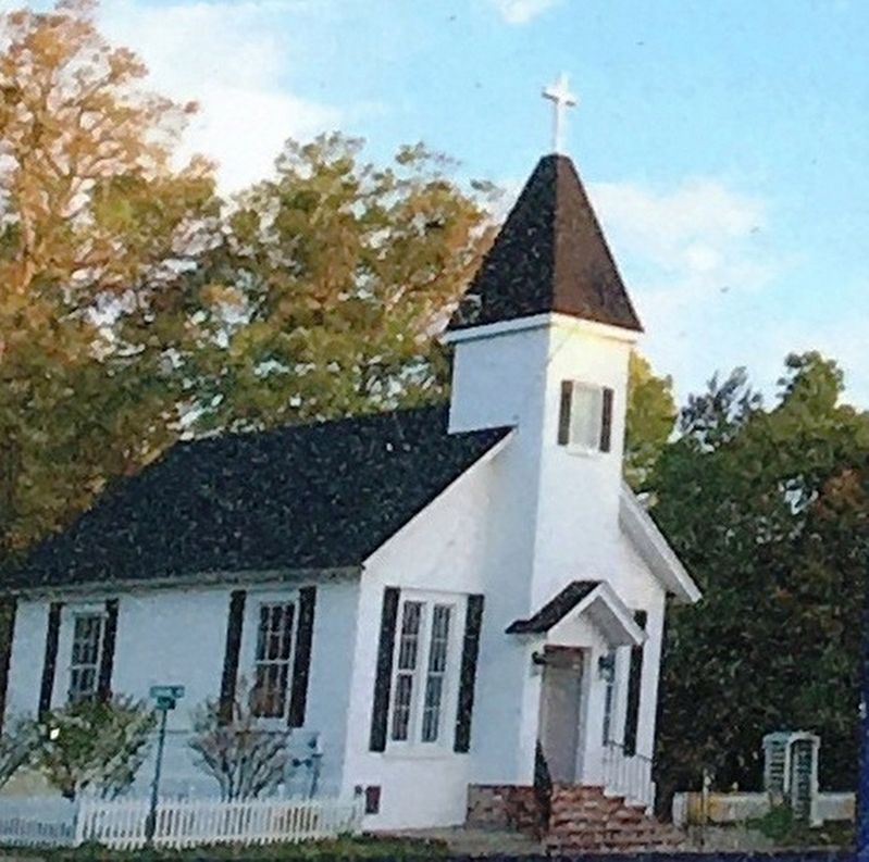
Photographed by Brandon D Cross, January 18, 2020
5. Photo Insert Bottom Left: Chapel of Our Lady Star of the Sea Catholic Church
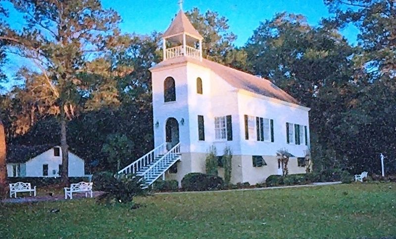
Photographed by Brandon D Cross, January 18, 2020
6. Photo Insert Top Right: First Presbyterian Church
Credits. This page was last revised on October 13, 2020. It was originally submitted on January 31, 2020, by Brandon D Cross of Flagler Beach, Florida. This page has been viewed 610 times since then and 42 times this year. Photos: 1, 2, 3, 4, 5, 6. submitted on January 31, 2020, by Brandon D Cross of Flagler Beach, Florida. • Bernard Fisher was the editor who published this page.
