Marker Logo
THE HISTORICAL
MARKER DATABASE
“Bite-Size Bits of Local, National, and Global History”
Falls Church, Virginia — The American South (Mid-Atlantic)
 

History of "Gravel Bank"
 
 
History of "Gravel Bank" Marker image. Click for full size.
Photographed by Devry Becker Jones (CC0), January 31, 2020
1. History of "Gravel Bank" Marker
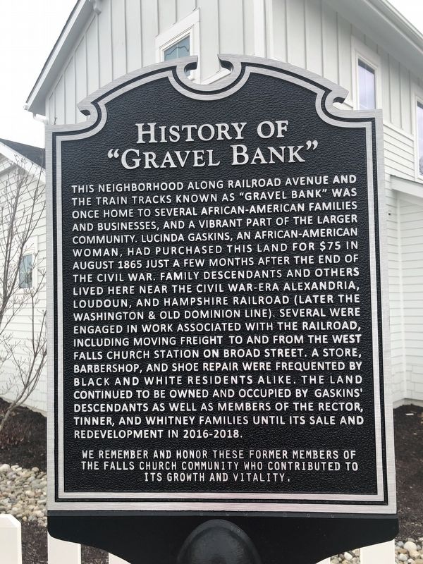
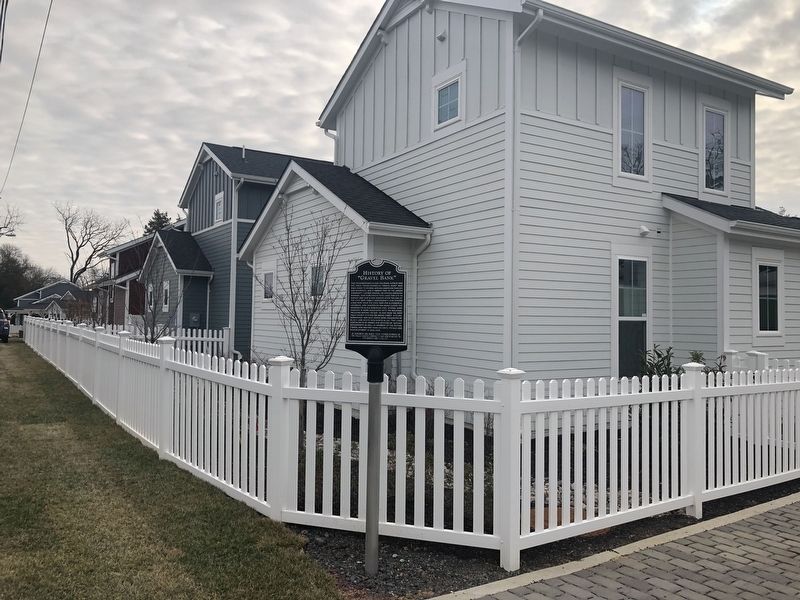
Inscription. This neighborhood along Railroad Avenue and the train tracks known as "Gravel Bank" was once home to several African-American families and businesses, and a vibrant part of the larger community. Lucinda Gaskins, an African-American woman, had purchased this land for $75 in August 1865 just a few months after the end of the Civil War. Family descendants and others lived here near the Civil War-era Alexandria, Loudoun and Hampshire Railroad (later the Washington & Old Dominion line). Several were engaged in work associated with the railroad, including moving freight, to and from the West Falls Church station on Broad Street. A store, barbershop, and shoe repair were frequented by black and white residents alike. The land continued to be owned and occupied by Gaskins' descendants as well as members of the Rector, Tinner, and Whitney families until its sale and redevelopment in 2016-2018.

We remember and honor these former members of the Falls Church community who contributed to its growth and vitality.
 
Topics. This historical marker is listed in these topic lists: African AmericansIndustry & Commerce
Paid Advertisement
Click or scan to see
this page online
Railroads & StreetcarsSettlements & SettlersWomen. A significant historical month for this entry is August 1865.
 
Location. 38° 53.494′ N, 77° 11.424′ W. Marker is in Falls Church, Virginia. It is on Railroad Avenue 0.1 miles east of Fowler Street, on the right when traveling east. Touch for map. Marker is at or near this postal address: 217 Gordon Road, Falls Church VA 22046, United States of America. Touch for directions.

Regionally, this marker is in the Washington Metropolitan Area and in Northern Virginia. It is also in the American South, specifically in the Upper South, and in the Mid-Atlantic. Globally, it is in North America, the Western Hemisphere, the Western World, and the Anglosphere. Historically, it finds itself in what was once the territory of the Mississippian Culture, one of the original Thirteen Colonies, one of the Confederate States of America, and the Antebellum South.

Other nearby markers. At least 8 other markers are within walking distance of this marker: David F. Strickler (approx. 0.2 miles away); Vietnam Memorial (approx. 0.2 miles away); Veterans Memorial (approx. 0.2 miles away); Original Site of Saint James Church
History of "Gravel Bank" Marker image. Click for full size.
Photographed by Devry Becker Jones (CC0), January 31, 2020
2. History of "Gravel Bank" Marker
(approx. Ό mile away); Citizens' Bridge (approx. 0.3 miles away); This is the W&OD Trail! (approx. 0.3 miles away); Tracks into History (approx. 0.3 miles away); West Falls Church Station (approx. 0.3 miles away). Touch for a list and map of all markers in Falls Church.
 
 
Credits. This page was last revised on October 17, 2021. It was originally submitted on January 31, 2020, by Devry Becker Jones of Washington, District of Columbia. This page has been viewed 688 times since then and 42 times this year. Photos:   1, 2. submitted on January 31, 2020, by Devry Becker Jones of Washington, District of Columbia.

m=144998

CeraNet Cloud Computing sponsors the Historical Marker Database.
This website earns income from purchases you make after using our links to Amazon.com. We appreciate your support.
Paid Advertisement
Jul. 18, 2026