Syracuse in Onondaga County, New York — The American Northeast (Mid-Atlantic)
County Poor House

Photographed by Mollie, February 1, 2020
1. County Poor House Marker
aged, destitute and homeless
of Onondaga County opened on
this site Feb. 1827. Existing
limestone building erected 1854.
Erected 1996 by Town of Onondaga.
Topics. This historical marker is listed in these topic lists: Charity & Public Work • Science & Medicine.
Location. 43° 0.58′ N, 76° 11.447′ W. Marker is in Syracuse, New York, in Onondaga County. It is on Onondaga Road (New York State Route 173) east of OCC Drive, on the left when traveling east. Located east of the Onondaga Community College campus entrance. Touch for map. Marker is at or near this postal address: 4926 Onondaga Rd, Syracuse NY 13215, United States of America. Touch for directions.

Regionally, this marker is in Upstate New York and specifically in Central New York. It is also in the American Northeast and in the Mid-Atlantic. Globally, it is in North America, on the Great Lakes, in the Western Hemisphere, in the Western World, and in the Anglosphere. Historically, it finds itself in what was once the Haudenosaunee (Iroquois) Confederacy, New Netherland,
this page online
Other nearby markers. At least 8 other markers are within 2 miles of this marker, measured as the crow flies: Gen. Ellis Cemetery (within shouting distance of this marker); First County Courthouse (approx. half a mile away); Francis Asbury (approx. half a mile away); Patriot Burials (approx. ¾ mile away); War of 1812 (approx. 1.2 miles away); The Sanatorium (approx. 1.4 miles away); Old Burial Place (approx. 1.8 miles away); Col. Van Schaick (approx. 2 miles away). Touch for a list and map of all markers in Syracuse.
Regarding County Poor House. The limestone building has been demolished.
Also see . . . Onondaga County Poor House. (Submitted on February 1, 2020, by Mollie of Syracuse, New York.)

Photographed by Mollie, February 1, 2020
2. County Poor House Marker

Photographed by Mollie, February 1, 2020
3. County Poor House Marker
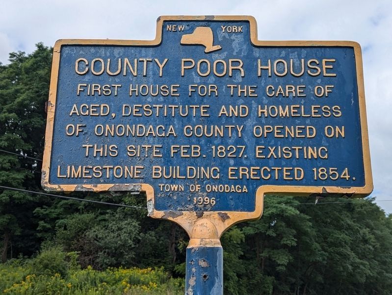
Photographed by Mira Earls, August 20, 2024
4. County Poor House Marker condition today
Interestingly the word Onondaga is misspelled where it says who sponsored the marker.
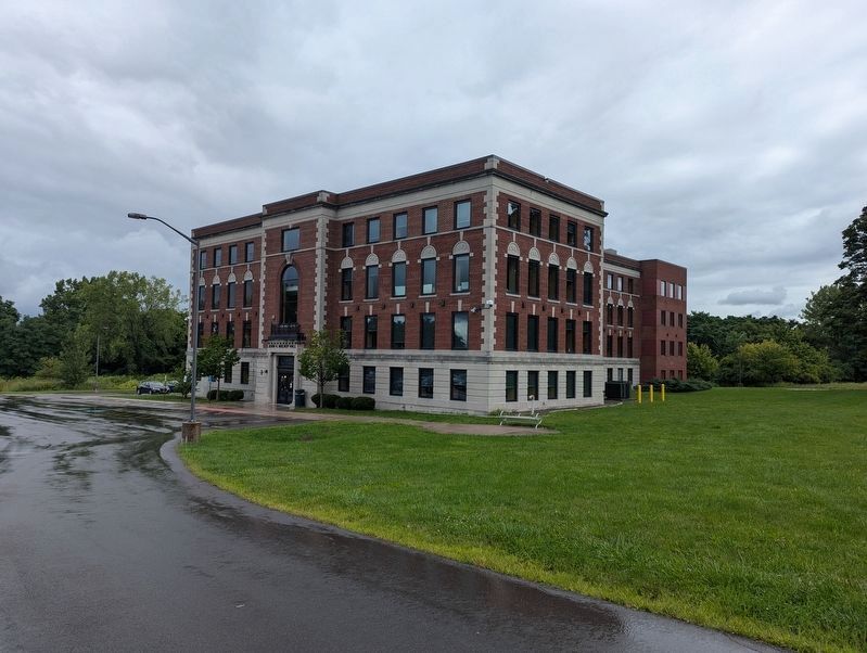
Photographed by Mira Earls, August 20, 2024
5. County Poor House Marker speaks of existing limestone building
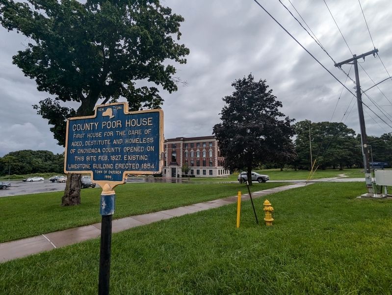
Photographed by Mira Earls, August 20, 2024
6. County Poor House Marker wide view including the existing structure
The signage in the front of the building indicates this is Mulroy Hall of OCC.
Credits. This page was last revised on September 19, 2024. It was originally submitted on February 1, 2020, by Mollie of Syracuse, New York. This page has been viewed 1,126 times since then and 70 times this year. Photos: 1, 2, 3. submitted on February 1, 2020, by Mollie of Syracuse, New York. 4, 5, 6. submitted on August 20, 2024, by Mira Earls of Cortland, New York. • Michael Herrick was the editor who published this page.
