Midtown in St. Louis, Missouri — The American Midwest (Upper Plains)
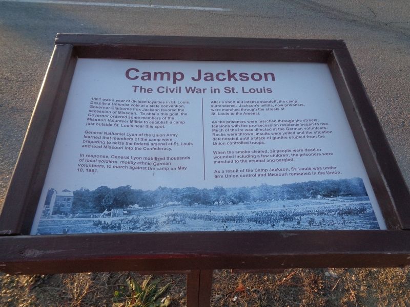
Camp Jackson
The Civil War in St. Louis
General Nathaniel Lyon of the Union Army learned that members of the camp were preparing to seize the federal arsenal at St. Louis and lead Missouri into the Confederacy.
In response, General Lyon mobilized thousands of local soldiers, mostly ethnic German volunteers, to march against the camp on May 10, 1861.
After a short but intense standoff, the camp surrendered. Jackson's militia, now prisoners, were marched through the streets of St. Louis to the Arsenal.
As the prisoners were marched through the streets, tensions with the pro-secession residents began to rise. Much of the ire was directed at the German volunteers. Rocks were thrown, insults were yelled and the situation deteriorated until a blaze of gunfire erupted from the Union controlled troops.
When the smoke cleared, 28 people were dead or wounded including a few children; the prisoners were marched to the arsenal and paroled.
As a result of the Camp Jackson, St. Louis was under firm Union control and Missouri remained in the Union.
Topics. This historical marker is listed in this topic list: War, US Civil. A significant historical date for this entry is May 10, 1861.
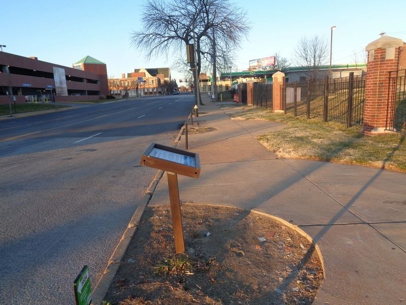
Location. 38° 38.083′ N, 90° 13.55′ W. Marker is in St. Louis, Missouri. It is in Midtown. Marker is on North Compton Avenue south of Olive Street, on the right when traveling north. Marker is in front of an open field (on the sidewalk) and across the street from a parking garage (on Saint Louis University campus). Touch for map. Marker is at or near this postal address: 10 North Compton Avenue, Saint Louis MO 63103, United States of America. Touch for directions.
Other nearby markers. At least 8 other markers are within walking distance of this marker. Long Roads To Freedom (about 600 feet away, measured in a direct line); Durant-Star Building (about 700 feet away); Cadillac-Chrysler Building (about 700 feet away); Moon Building (approx. 0.2 miles away); Dodge-Reo Building (approx. 0.2 miles away); Stutz Building (approx. 0.2 miles away); Stearns-Knight Building (approx. 0.2 miles away); Locomobile Building (approx. 0.2 miles away). Touch for a list and map of all markers in St. Louis.
Also see . . . Camp Jackson Affair on Wikipedia. (Submitted on February 1, 2020, by Jason Voigt of Glen Carbon, Illinois.)
Credits. This page was last revised on January 30, 2023. It was originally submitted on February 1, 2020, by Jason Voigt of Glen Carbon, Illinois. This page has been viewed 444 times since then and 42 times this year. Photos: 1, 2. submitted on February 1, 2020, by Jason Voigt of Glen Carbon, Illinois. • Bernard Fisher was the editor who published this page.

