North End in Boston in Suffolk County, Massachusetts — The American Northeast (New England)
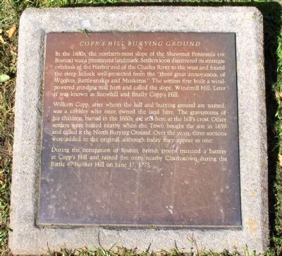
Copp's Hill Burying Ground
In the 1630s, the northern-most slope of the Shawmut Peninsula (or Boston) was a prominent landmark. Settlers soon discovered its strategic overlook of the Harbor and of the Charles River to the west and found the steep hillock well-protected from the “three great annoyances, of Woolves, Rattle-snakes and Musketos.” The settlers first built a wind-powered grinding mill here and called the slope, Windmill Hill. Later it was known as Snowhill and finally Copp's Hill.
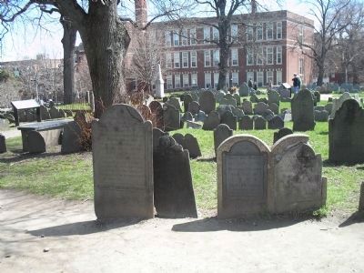
William Copp, after whom the hill and burying ground are named, was a cobbler who once owned the land here. The gravestones of his children, buried in the 1660s, are still here at the hill's crest. Other settlers were buried nearby when the Town bought the site in 1659 and called it the North Burying Ground. Over the years, three sections were added to the original, although today they appear as one.
During the occupation of Boston, British troops manned a battery at Copp's Hill and rained fire onto nearby Charlestown during the Battle of Bunker Hill on June 17, 1775.
Topics. This historical marker is listed in these topic lists: Cemeteries & Burial Sites • Colonial Era • War, US Revolutionary. A significant historical date for this entry is June 17, 1775.
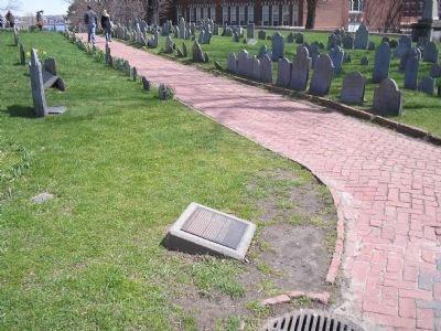
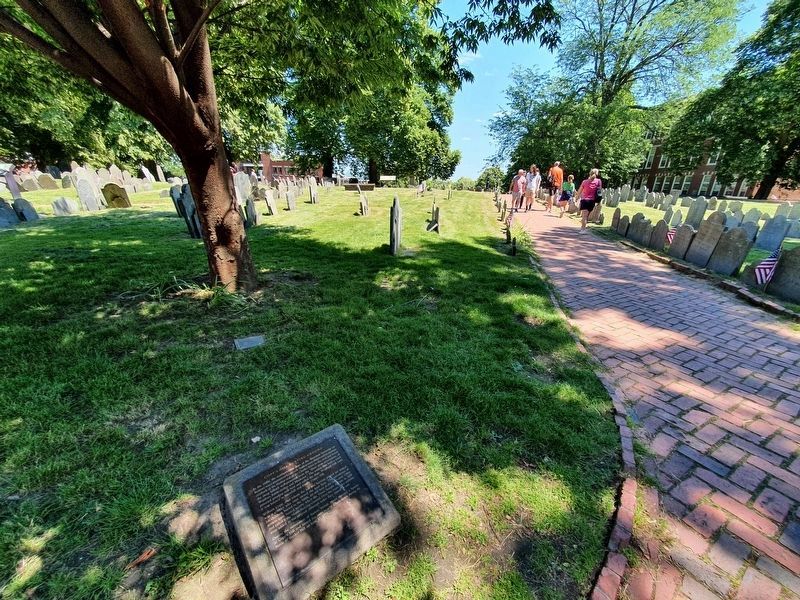
Location. 42° 22.024′ N, 71° 3.365′ W. Marker is in Boston , Massachusetts, in Suffolk County. It is in North End. Marker can be reached from Hull Street. Coordinates provided are for the cemetery entrance. The marker is within the cemetery grounds, near Charter Street. Touch for map. Marker is in this post office area: Boston MA 02113, United States of America. Touch for directions.
Other nearby markers. At least 8 other markers are within walking distance of this marker. Welcome to Copp’s Hill Burying Ground (here, next to this marker); a different marker also named Copp’s Hill Burying Ground (a few steps from this marker); Gravestone Art: Skulls, Wings, and Other Symbols (a few steps from this marker); Tombs and Monuments (a few steps from this marker); From Colonial Burying Ground to Victorian Park (within shouting distance of this marker); Copp’s Hill and the American Revolution (within shouting distance of this marker); Unusual Gravestones (within shouting distance of this marker); Seventeenth Century Copp’s Hill (within shouting distance of this marker). Touch for a list and map of all markers in Boston.
More about this marker. Copp's Hill Burying Ground is a stop along Boston's Freedom Trail.
Related markers. Click here for a list of markers that are related to this marker. Take a tour of the markers found in Copp’s Hill Burying Ground.
Also see . . .
1. Copps Hill Burying Ground. Celebrate Boston website entry:
... the second burying ground established in Boston in 1660. (Submitted on October 8, 2008.)
2. Copp's Hill Burying Ground. The Freedom Trail Website entry (Submitted on October 8, 2008.)
By Devry Becker Jones (CC0), January 28, 2023
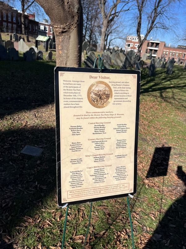
5. Nearby additional interpretive signage for Copp's Burying Ground
Credits. This page was last revised on February 4, 2023. It was originally submitted on October 7, 2008. This page has been viewed 1,895 times since then and 44 times this year. Last updated on February 2, 2020. Photos: 1. submitted on October 7, 2008. 2. submitted on April 14, 2009, by Bill Coughlin of Woodland Park, New Jersey. 3. submitted on July 11, 2021, by J. Makali Bruton of Accra, Ghana. 4. submitted on April 14, 2009, by Bill Coughlin of Woodland Park, New Jersey. 5. submitted on February 4, 2023, by Devry Becker Jones of Washington, District of Columbia. • Michael Herrick was the editor who published this page.
