From an Accident to a Preserve
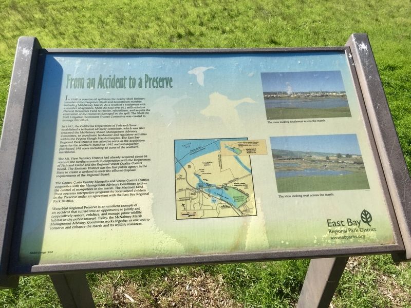
In 1992, the California Department of Fish and Game established a technical advisory committee, which was later renamed the McNabney Marsh Management Advisory Committee, to coordinate landowner and regulatory activities within the Peyton Slough Marsh Complex. The East Bay Regional Park District was asked to serve as the acquisition agent for the southern marsh in 1992 and subsequently purchased 198 acres including 46 acres of the southern marshland.
The Mt. View Sanitary District had already acquired about 68 acres of the northern marsh in cooperation with the Department of Fish and Game and the Regional Water Quality Control Board. The Sanitary District was the
this page online
The Contra Costa County Mosquito and Vector Control District cooperates with the Management Advisory Committee to plan the control of mosquitoes in the marsh. The Martinez Land Trust operates interpretive programs for local school children in the Preserve under an agreement with the East Bay Regional Park District.
Waterbird Regional Preserve is an excellent example of
an accident that turned into an opportunity to jointly and
cooperatively restore, enhånce, and manage prime wildlife
habitat in the public interest. Today, the McNabney Marsh
Management Advisory Committee works together as one unit to
conserve and enhance the marsh and its wildlife resources.
Topics. This historical marker is listed in these topic lists: Disasters • Environment • Parks & Recreational Areas. A significant historical year for this entry is 1988.
Location. 38° 1.493′ N, 122° 5.866′ W. Marker is in Martinez, California, in Contra Costa County. It can be reached from Waterbird Way south of Waterfront Road. Touch for map.

Regionally, this marker is in California’s San Francisco Bay Area and on the Coast Ranges. It is also on the American Pacific Coast. Globally, it is in North America, on the Ring of Fire, in the Pacific Rim, in the Western Hemisphere, in the Western World, and in the Anglosphere. Historically, it finds itself in what was once New Spain and also Mexico’s Alta California.
Other nearby markers. At least 8 other markers are within 3 miles of this marker, measured as the crow flies: A Window into the Past (a few steps from this marker); Dr. John Marsh (approx. 1½ miles away); The Christian Brothers Winery (approx. 1.8 miles away); Martinez Public Library (approx. 2 miles away); Contra Costa County Courthouse (approx. 2.1 miles away); Borland Home (approx. 2.1 miles away); 1124 Ferry Street (approx. 2.1 miles away); Former Masonic Lodge Site (approx. 2.1 miles away). Touch for a list and map of all markers in Martinez.
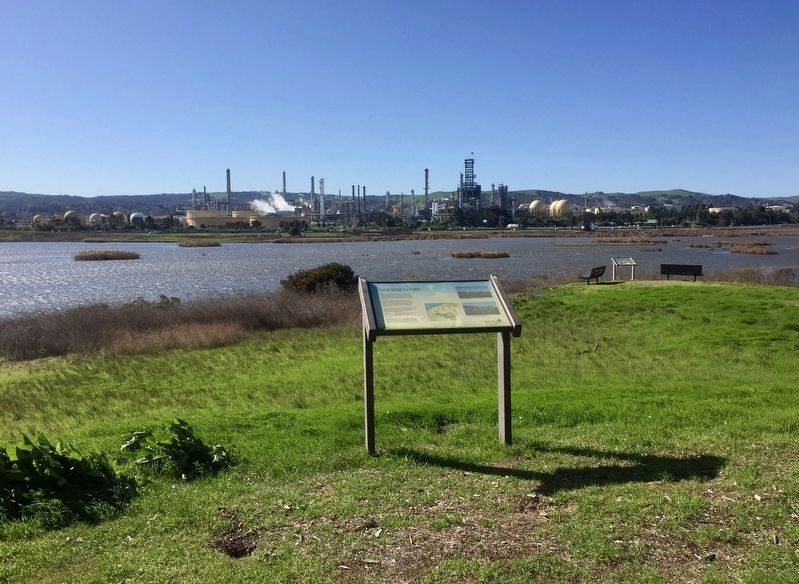
More about this marker. The marker is located in Waterbird Regional Preserve on the west side of the shelter by the parking lot.
Credits. This page was last revised on February 2, 2020. It was originally submitted on February 2, 2020, by Andrew Ruppenstein of Lamorinda, California. This page has been viewed 562 times since then and 52 times this year. Photos: 1, 2. submitted on February 2, 2020, by Andrew Ruppenstein of Lamorinda, California.
