Fort George Island near Jacksonville in Duval County, Florida — The American South (South Atlantic)
Slave Trade / La Traite d'Esclaves
The Port of Nantes / Le Port de Nantes
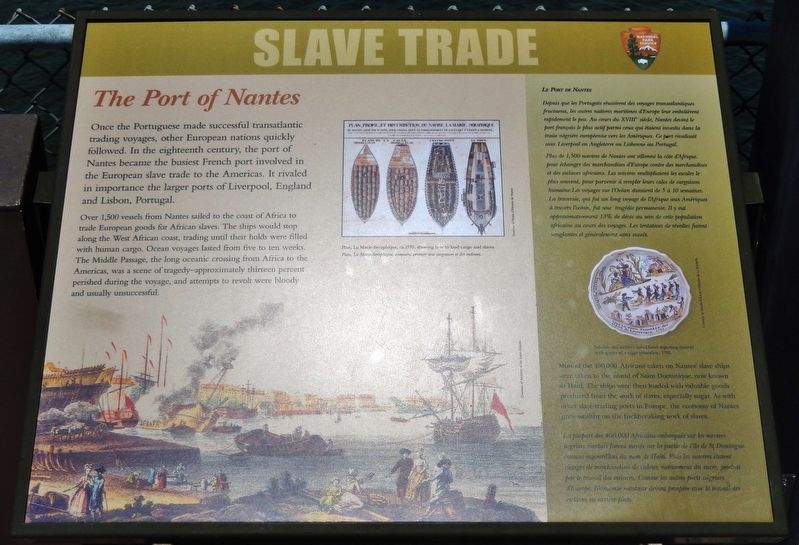
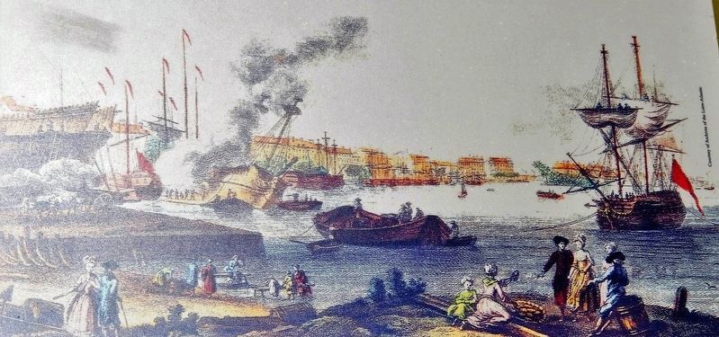
Once the Portuguese made successful transatlantic trading voyages, other European nations quickly followed. In the eighteenth century, the port of Nantes became the busiest French port involved in the European slave trade to the Americas. It rivaled in importance the larger ports of Liverpool, England and Lisbon. Portugal.
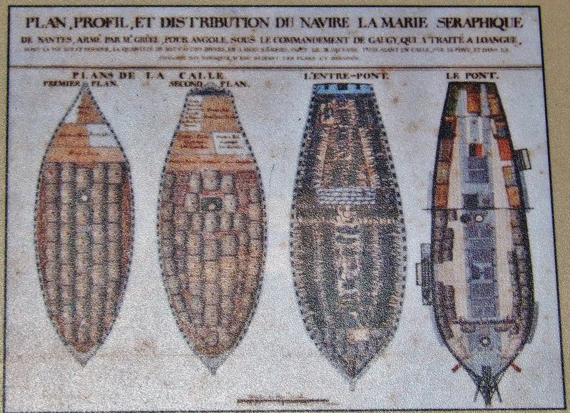
Over 1,500 vessels from Nantes sailed to the coast of Africa to trade European goods for African slaves. The ships would stop along the West African coast, trading until their holds were filled with human cargo. Ocean voyages lasted from five to ten weeks. The Middle Passage, the long oceanic crossing from Africa to the Americas, was a scene of tragedy — approximately thirteen percent perished during the voyage, and attempts to revolt were bloody and usually unsuccessful.
Most of the 400,000 Africans taken on Nantes’ slave ships were taken to the island of Saint Dominque, now known as Haiti. The ships were then loaded with valuable goods produced from the work of slaves, especially sugar. As with other slave-trading ports in Europe, the economy of Nantes grew wealthy on the backbreaking work of slaves.
Depuis que les Portugais réussirent des voyages transatlantiques fructueux, foc autres nations maritimes d'Europe leur emboitement rapidement le pas. Au cours du XVIII siècle, Nantes devint le port français le plus actif parmi ceux qui étaient investis dans La traite négrière européenne vers les Amériques. Ce port rivalisait avec Liverpool en Angleterre ou Lisbonne au Portugal.
Plus de 1,500 navires de Nantes ont sillonné la côte d'Afrique pour échanger des marchandises d'Europe contre des marchandises et des esclaves africains. Les navires multipliaient les escales le plus souvent, pour parvenir à remplir leurs cales de cargaison humaine. Les voyages sur l’Océan duraient de 5 à 10 semaines. La traversée, gui fut un long voyage de l’Afrique aux Amériques à travers l’océan, fut une tragédie permanente. Il y out approximativement 13% de décès au sein de cette population africaine au cours des voyages. Les tentatives de révoltes furent sanglantes et généralement sans succès.
La plupart des 400,000 Africains embarqués sur les navires négriers nantais furent menés sur la partie de l'île de St Dominique connue sous le nom de d'Haïti. Puis les navires étaient chargés de marchandises de valeur, notamment du sucre, produit par le travail des esclaves. Comme les autres ports négriers d’Europe,
l'économie nantaise devint prospère avec le travail des esclaves en arrière-plan.
Erected by National Park Service, U.S. Department of the Interior.
Topics. This historical marker is listed in these topic lists: African Americans • Colonial Era • Industry & Commerce • Waterways & Vessels.
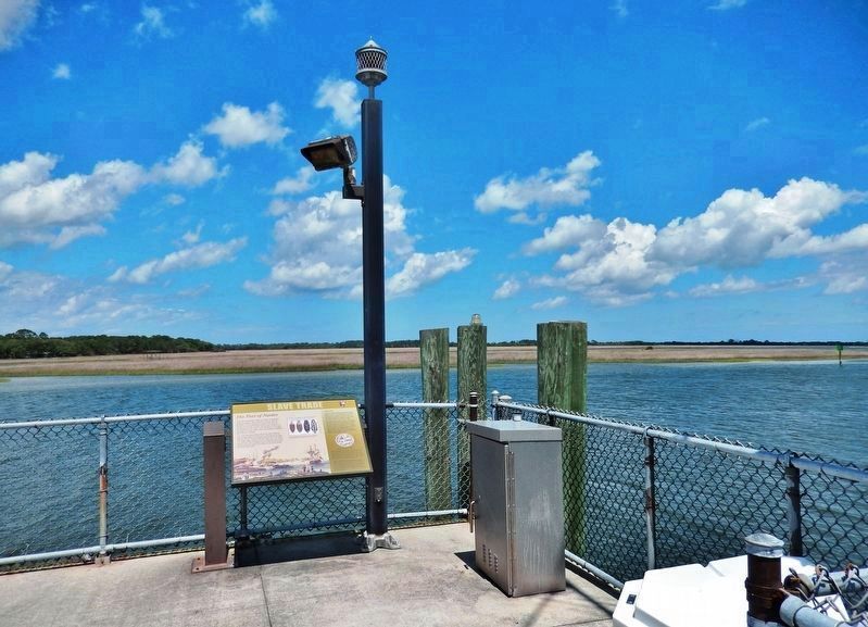
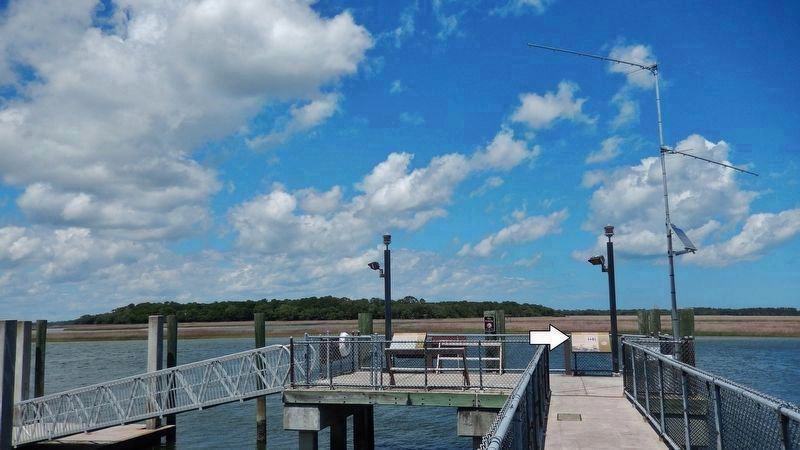
Location. 30° 26.47′ N, 81° 26.342′ W. Marker is near Jacksonville, Florida, in Duval County. It is on Fort George Island. Marker can be reached from Palmetto Avenue, 2.2 miles north of Fort George Road when traveling north. Marker is located at the Kingsley Plantation Historical Site, within the Timucuan Ecological and Historic Preserve. Marker is mounted on the boat dock near the northwest corner of the plantation site, overlooking the Fort George River. Access to Kingsley Plantation is north from Florida State Route A1A (Heckscher Drive), onto Fort George Road, and then about 1/2 mile north to the intersection of Fort George Road and Palmetto Avenue. Touch for map. Marker is at or near this postal address: 11676 Palmetto Avenue, Jacksonville FL 32226, United States of America. Touch for directions.
Other nearby markers. At least 8 other markers are within walking distance of this marker. A different marker also named Slave Trade / La Traite d'Esclaves (here, next to this marker); Fort George Island (about 300 feet away, measured in a direct line); Waterways (about 300 feet away); Choices (about 400 feet away); Plantation House (about 400 feet away); A Very Comfortable Habitation (about 700 feet away); Looking Back (about 700 feet away); a different marker also named Looking Back (about 700 feet away). Touch for a list and map of all markers in Jacksonville.
Regarding Slave Trade / La Traite d'Esclaves. Kingsley Plantation is listed on the National Register of Historic Places, #70000182.
Also see . . . Role of Nantes in the slave trade (Wikipedia). The Nantes slave trade resulted in the deportation, from the late 17th to the beginning of the 19th century, of more than 500,000 black African slaves into French ownership in the Americas, mainly in the Antilles. With 1,744 slave voyages, Nantes, France, was the principal French slave-trading port for the duration of this period. The town was the last centre for slave trade in France, until the abolishment of the practice in 1831, with the prohibition of the slave trade. (Submitted on February 15, 2020, by Cosmos Mariner of Cape Canaveral, Florida.)
Credits. This page was last revised on February 3, 2023. It was originally submitted on February 14, 2020, by Cosmos Mariner of Cape Canaveral, Florida. This page has been viewed 279 times since then and 12 times this year. Photos: 1, 2, 3, 4, 5, 6. submitted on February 15, 2020, by Cosmos Mariner of Cape Canaveral, Florida.
