Dover in Loudoun County, Virginia — The American South (Mid-Atlantic)
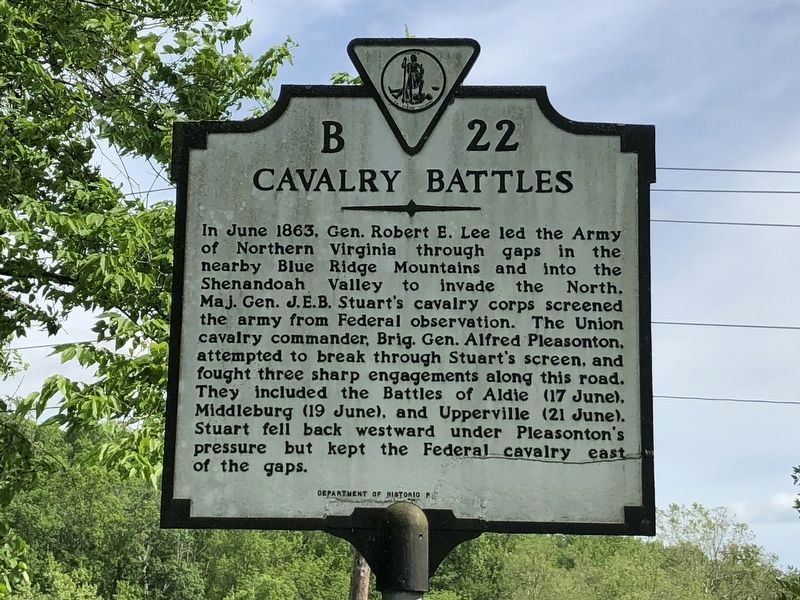
Cavalry Battles
Erected by Department of Historic Resources. (Marker Number B-22.)
Topics and series. This historical marker is listed in this topic list: War, US Civil. In addition, it is included in the Virginia Department of Historic Resources (DHR) series list. A significant historical month for this entry is June 1863.
Location. 38° 58.522′ N, 77° 40.032′ W. Marker is in Dover, Virginia, in Loudoun County. Marker is at the intersection of John Mosby Highway (U.S. 50) and Champe Ford Road (County Route 632), on the right when traveling east on John Mosby Highway. Touch for map. Marker is in this post office area: Middleburg VA 20117, United States of America. Touch for directions.
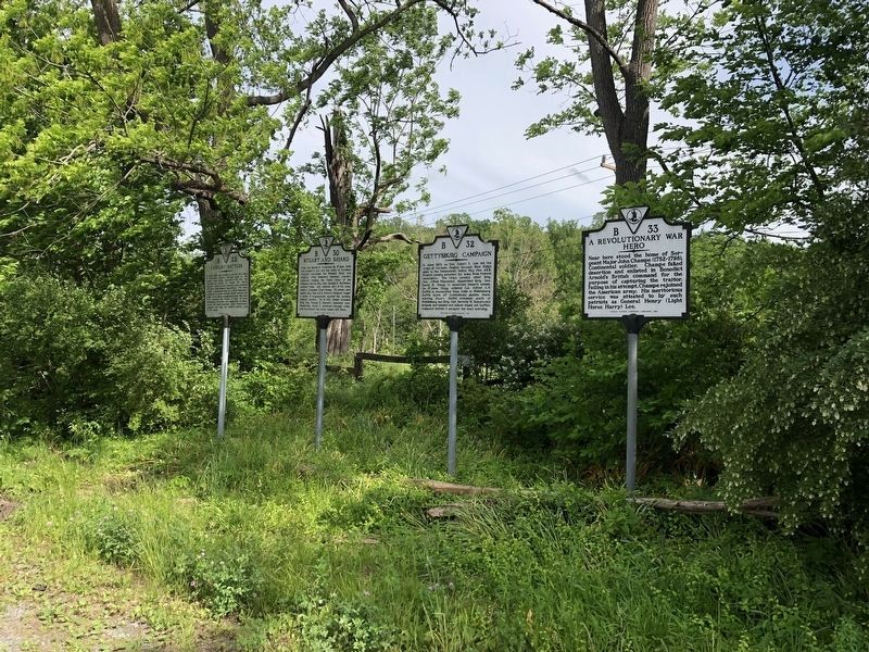
Other nearby markers. At least 8 other markers are within 2 miles of this marker, measured as the crow flies. A Revolutionary War Hero (here, next to this marker); Gettysburg Campaign (here, next to this marker); Stuart and Bayard (here, next to this marker); Sergeant Major John Champe (about 500 feet away, measured in a direct line); Battle of Aldie (approx. 0.7 miles away); Snickersville Turnpike (approx. one mile away); First Mass. Cavalry (approx. 1.2 miles away); a different marker also named Battle of Aldie (approx. 1.2 miles away). Touch for a list and map of all markers in Dover.
More about this marker. A marker with this same number but titled “Military Movements” was erected in the late 1920s or early 1930s on U.S. 50 in Middleburg. It was listed as lost in Margaret Petersí 1985 edition of A Guidebook to Virginiaís Historical Markers. The text read “This road was used by both armies, 1861–1864. Cavalry engagements took place near Middleburg on March 28. 1862, and June 19, 1863.
Related markers. Click here for a list of markers that are related to this marker. Loudoun Valley Cavalry Battles by Markers
Photographed By Craig Swain, June 22, 2007
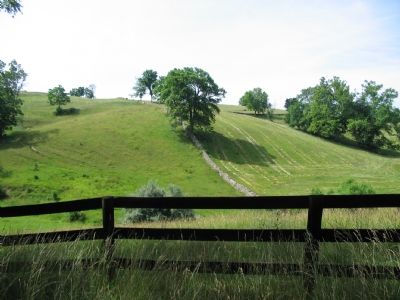
3. Typical Section of the Battle Area
The area around Aldie, Middleburg, and Upperville is pasture lands with rolling hills and stone walls. The terrain is well suited to cavalry operations. In the vicinity of this particular location, Brig. Gen. John Buford's command conducted a flanking maneuver North of Middleburg, scattered Confederate picketed troops.
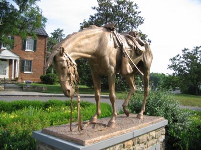
Photographed By Craig Swain, June 29, 2007
4. Horse Memorial
Behind the National Sporting Library in Middleburg, this memorial recognizes the equine participation in the American Civil War. The inscription reads, "In Memory of the one and one half million horses and mules of the Confederate and Union armies who were killed, were wounded, or died from disease in the Civil War many perished within twenty miles of Middleburg in the battles of Aldie, Middleburg, and Upperville in June of 1863."
Credits. This page was last revised on April 28, 2021. It was originally submitted on June 28, 2007, by Craig Swain of Leesburg, Virginia. This page has been viewed 2,639 times since then and 27 times this year. Photos: 1, 2. submitted on May 29, 2020, by Devry Becker Jones of Washington, District of Columbia. 3. submitted on June 28, 2007, by Craig Swain of Leesburg, Virginia. 4. submitted on June 30, 2007, by Craig Swain of Leesburg, Virginia. 5. submitted on April 26, 2021, by Bradley Owen of Morgantown, West Virginia. • J. J. Prats was the editor who published this page.
