Near Estillfork in Jackson County, Alabama — The American South (East South Central)
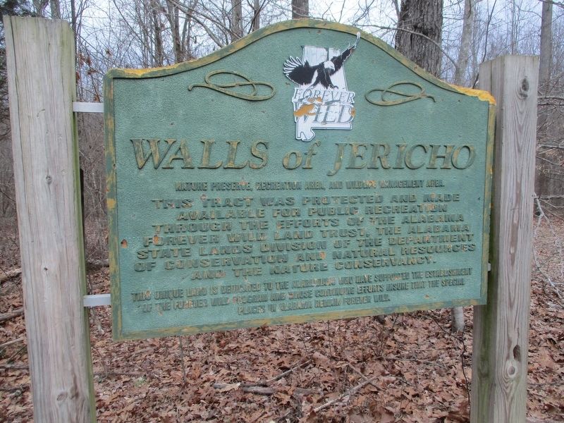
Walls of Jericho
Erected by Forever Wild.
Topics. This historical marker is listed in these topic lists: Environment • Horticulture & Forestry • Parks & Recreational Areas.
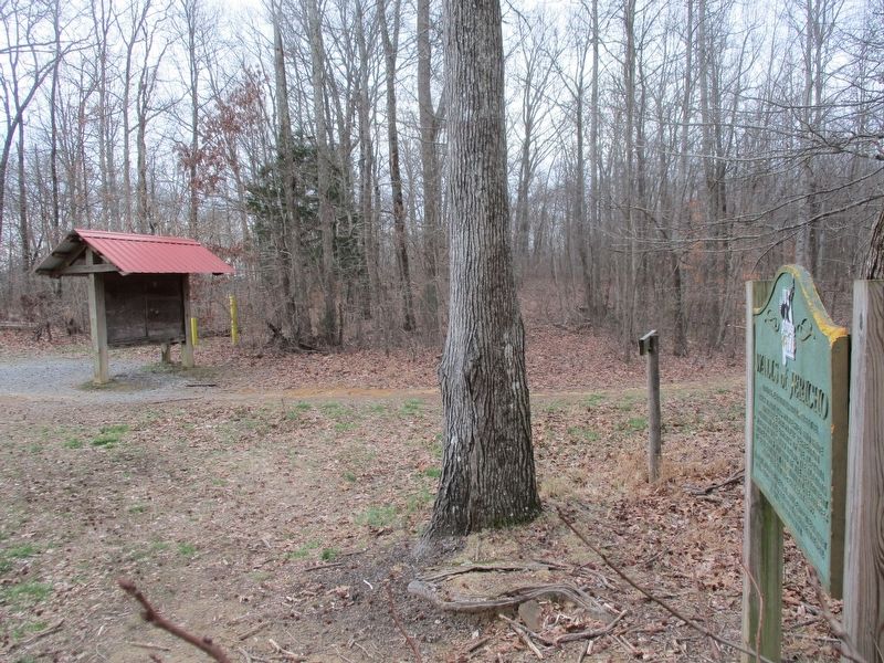
Location. 34° 58.617′ N, 86° 4.821′ W. Marker is near Estillfork, Alabama, in Jackson County. Marker can be reached from Alabama Route 79, on the right when traveling south. Located at Trailhead. Touch for map. Marker is in this post office area: Estillfork AL 35745, United States of America. Touch for directions.
Other nearby markers. At least 8 other markers are within 12 miles of this marker, measured as the crow flies. Skyline School (approx. 11˝ miles away); Skyline Farms (approx. 11.6 miles away); "Kentuck" (approx. 11.7 miles away in Tennessee); Polly Finlay Crockett (approx. 11.8 miles away in Tennessee); Hunter's Grocery (approx. 11.8 miles away in Tennessee); Huntland Veterans Memorial (approx. 11.9 miles away in Tennessee); John Ruch (approx. 11.9 miles away in Tennessee); First United Church, U.C.C. (approx. 12 miles away in Tennessee).
Also see . . . Forever Wild Profile: The Walls of Jericho. (Submitted on February 16, 2020.)
Additional commentary.
1. Trek to the Walls of Jericho
This hike is 2.5 miles long (one way) with a 1000' elevation drop.
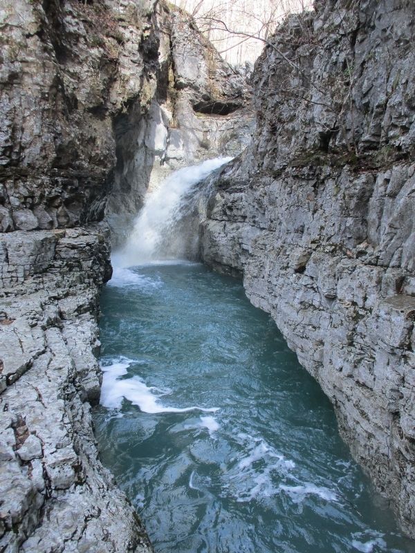
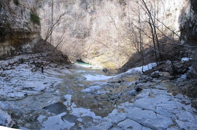
Then you will hike another 1.1 miles up into the Walls to see the water features.
Then back up the 1000'.
Over 7 miles.
Minimum hike time of 4 hours
COME PREPARED !!
— Submitted February 16, 2020, by Tom Gillard of Tullahoma, Tennessee.
Credits. This page was last revised on February 16, 2020. It was originally submitted on February 16, 2020, by Tom Gillard of Tullahoma, Tennessee. This page has been viewed 304 times since then and 33 times this year. Photos: 1, 2, 3, 4. submitted on February 16, 2020, by Tom Gillard of Tullahoma, Tennessee. • Mark Hilton was the editor who published this page.


