Aguascalientes, Mexico — The Central Highlands (North America)
Aguascalientes Independence Heroes
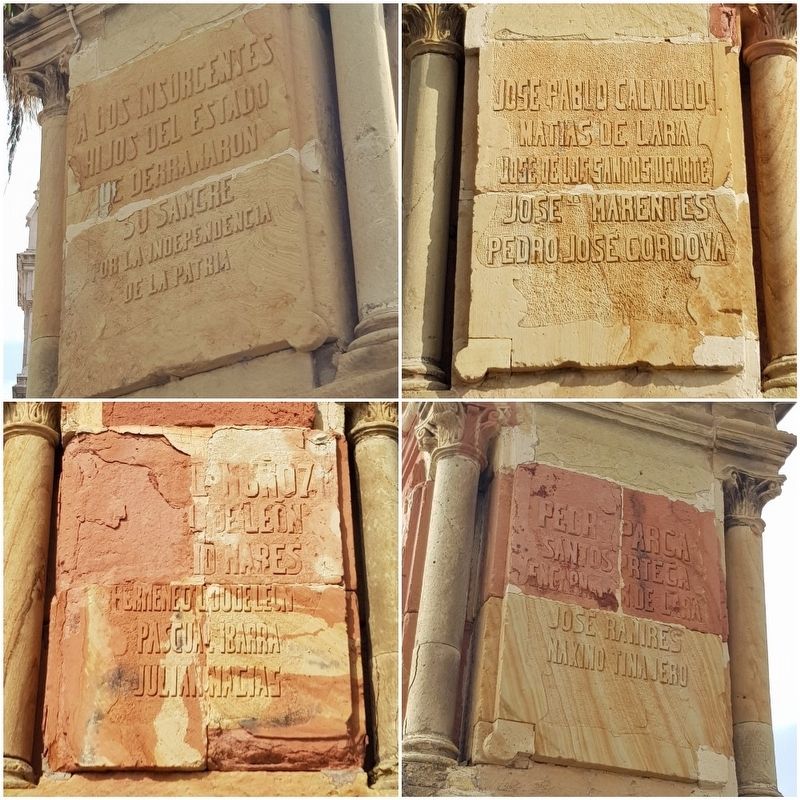
Photographed by J. Makali Bruton
1. Aguascalientes Independence Heroes Marker

Hijos del Estado
que derramaron su sangre
por la Independencia de la Patria
Jose Pablo Calvillo · Matias de Lara · Jose de los Santos Ugarte
Jose Ma. Marentes · Pedro Jose Cordova
…Muñoz · … de Leon · Mares · Hermenegildo de Leon · Pascual Ibarra · Julian Macias
Pedro Parca · Santos Ortega · Encarnacion de Lara · Jose Ramires Maximo Tinajero
To the Insurgents
Sons of the State that shed their blood for the Independence of the Nation
José Pablo Calvillo · Matias de Lara · José de los Santos Ugarte
José María Marentes · Pedro José Cordova
…Muñoz · … de León · Mares · Hermenegildo de León · Pascual Ibarra · Julián Macias
Pedro Parca · Santos Ortega · Encarnación de Lara · José Ramíres · Máximo Tinajero
Topics. This memorial is listed in these topic lists: Patriots & Patriotism • Wars, Non-US.
Location. 21° 52.945′ N, 102° 17.058′ W. Memorial is in Aguascalientes. It is at the intersection of Calle Juan de Montoro and Francisco G. Hornedo, in the median on Calle Juan de Montoro. Touch for map. Memorial is in this post office area:
this page online

Regionally, this memorial is in Central Mexico and in the Bajío. Globally, it is in North America and the Western Hemisphere. Historically, it finds itself in what was once New Spain and also a Spanish colony.
Other nearby markers. At least 8 other markers are within walking distance of this marker: Benito Juárez (within shouting distance of this marker); Ventura Salazar Ramírez (approx. 0.4 kilometers away); Catarino Arriola Rochín (approx. 0.4 kilometers away); The Aguascalientes Railroad Depot Neighborhood (approx. 0.4 kilometers away); The Ex-Pious School or School of Christ (approx. 1.2 kilometers away); El Parian (approx. 1.2 kilometers away); José María Chávez Alonso (approx. 1.2 kilometers away); General Eulalio Gutiérrez (approx. 1.2 kilometers away). Touch for a list and map of all markers in Aguascalientes.
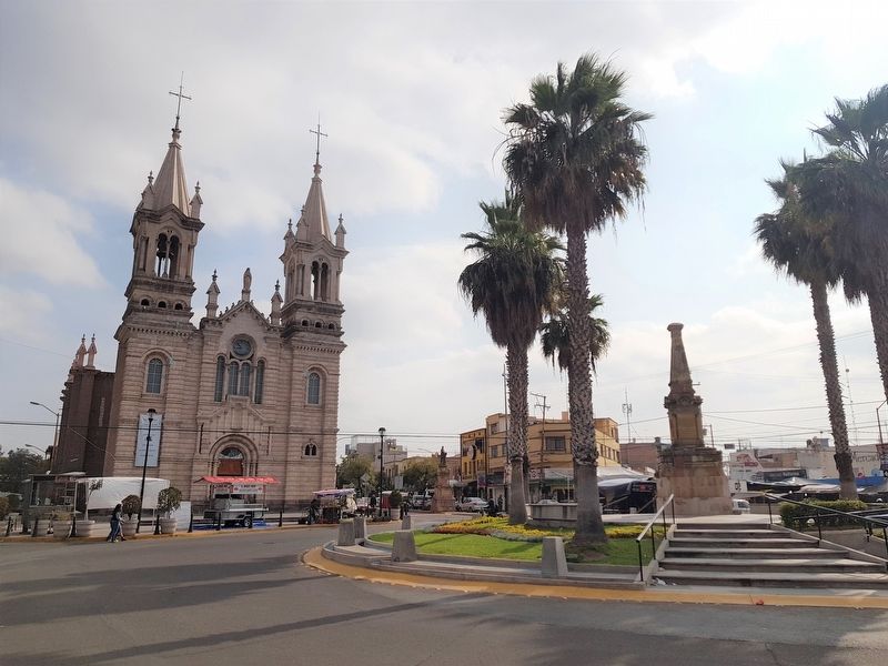
Photographed by J. Makali Bruton, December 11, 2019
2. Aguascalientes Independence Heroes Marker
The monument can be seen to the right, with the Templo de la Purísima Concepción to the left.
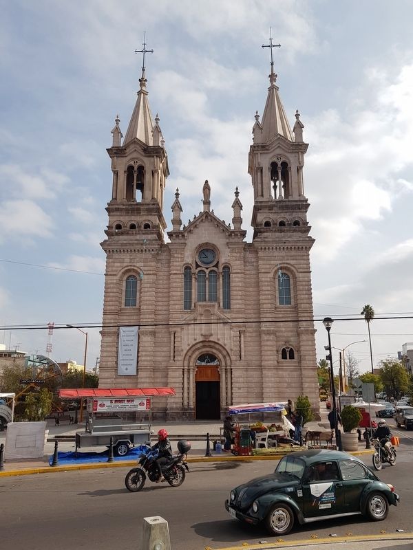
Photographed by J. Makali Bruton, December 11, 2019
3. The nearby Templo de la Purísima Concepción
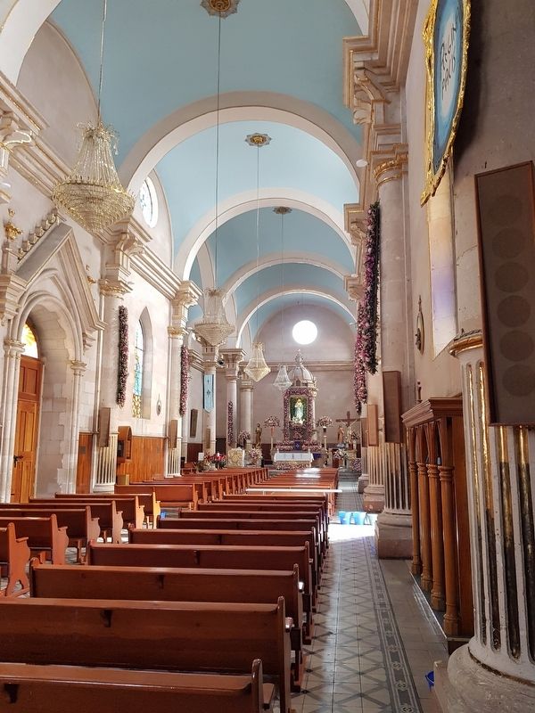
Photographed by J. Makali Bruton, December 11, 2019
4. An interior view of the nearby Templo de la Purísima Concepción
Credits. This page was last revised on February 17, 2020. It was originally submitted on February 17, 2020, by J. Makali Bruton of Washington, District of Columbia. This page has been viewed 462 times since then and 20 times this year. Photos: 1, 2, 3, 4. submitted on February 17, 2020, by J. Makali Bruton of Washington, District of Columbia.
