Inner Harbor in Baltimore, Maryland — The American Northeast (Mid-Atlantic)
Seven Foot Knoll Lighthouse
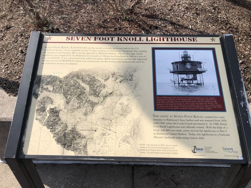
Seven Foot Knoll Lighthouse was the second screwpile lighthouse built by the U.S. Lighthouse Service. It was originally located 15 miles southeast of here in the Chesapeake Bay, marking the entrance to the Patapsco River and the approach to Baltimore Harbor. The 47-foot-high, round lighthouse was completed by the Baltimore iron foundry of Murray and Hazelhurst in 1856 at a cost of just over $30,000. It was constructed from rolled-iron plates, drilled and riveted together, and supported on nine cast-iron screwpiles which were screwed into the Bay bottom and eliminated a need for an underwater masonry foundation.
The light at Seven Foot Knoll marked the outer entrance to Baltimore's busy harbor and was manned from 1856 until 1948, when the Coast Guard automated it. In 1988, Seven Foot Knoll Lighthouse was officially retired to Pier 5 in Baltimore's Inner Harbor. Today, this lighthouse is a National Historic landmark welcoming visitors daily.
[Captions:]
This ca. 1900 image shows the Seven Foot Knoll Lighthouse in its original location at the entrance of the Patapsco River. Its screwpile supports were vulnerable to damage from ice and floating debris, and were protected with both stone and wood structures at various times throughout its history. The lighthouse was relatively isolated, but resupplied with boats that could be stored on davits seen in the image. In this picture, the lighthouse still has its bell, which was used as a sound signal to mariners during low-visibility weather.
Left: This chart from the 1860s shows the original location of the Seven Foot Knoll Lighthouse at the entrance of the Patapsco River, 14 mi. from its present location. The small numbers represent depth soundings.
Erected by Historic
this page online
Topics and series. This historical marker is listed in these topic lists: Communications • Waterways & Vessels. In addition, it is included in the Lighthouses, and the National Historic Landmarks series lists. A significant historical year for this entry is 1856.
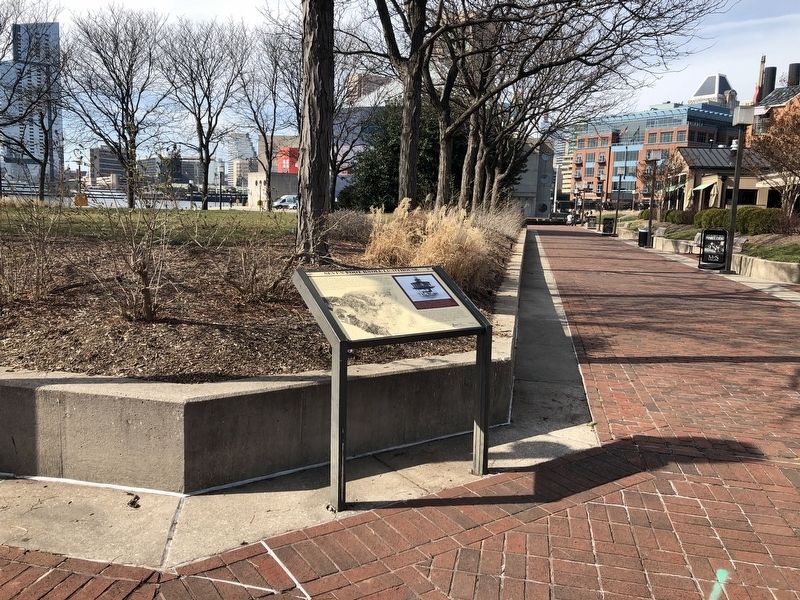
Location. This marker has been replaced by another marker nearby. It was located near 39° 17.028′ N, 76° 36.328′ W. Marker was in Baltimore, Maryland. It was in the Inner Harbor. It could be reached from Eastern Avenue 0.1 miles west of President Street when traveling west. Touch for map. Marker was in this post office area: Baltimore MD 21202, United States of America. Touch for directions.

Regionally, this marker was in Central Maryland. It was also in the American Mid-Atlantic, in the Chesapeake Bay Region, and on the Eastern Seaboard. Globally, it was in the North Atlantic Region, North America, the Western Hemisphere, the Western World, and the Anglosphere. Historically, it found itself in what was once one of the original Thirteen Colonies and also the Antebellum South.
Other nearby markers. At least
Other markers no longer nearby. Seven-Foot Knoll Lighthouse (was here, next to this marker but has been replaced with another marker now near it); Living Classrooms Foundation (was a few steps from this marker but has been permanently removed); Coast Guard Cutter Taney - WHEC-37 (was about 500 feet away, measured in a direct line but has been replaced with another marker now near it); The Coast Guard Cutter Taney (was about 500 feet away but has been replaced with another marker now near it); The Inner Harbor Water Wheel (was about 600 feet away but has been replaced with another marker now near it); Water Power: Baltimore's Economic Engine
Photographed by Devry Becker Jones (CC0), February 17, 2020
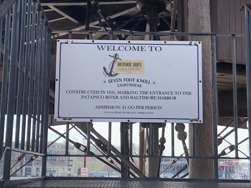
3. Sign near the base of the lighthouse
Historic Ships in Baltimore
✯ Seven Foot Knowll ✯
Lighthouse
Erected in 1856, marking the entrance to the Patapsco River and Baltimore Harbor
Related marker. Click here for another marker that is related to this marker. This marker replaces the linked marker.
Credits. This page was last revised on April 3, 2023. It was originally submitted on February 17, 2020, by Devry Becker Jones of Washington, District of Columbia. This page has been viewed 363 times since then and 34 times this year. Photos: 1, 2, 3. submitted on February 17, 2020, by Devry Becker Jones of Washington, District of Columbia.
