Hot Springs in Garland County, Arkansas — The American South (West South Central)
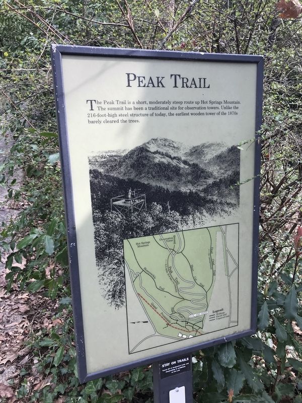
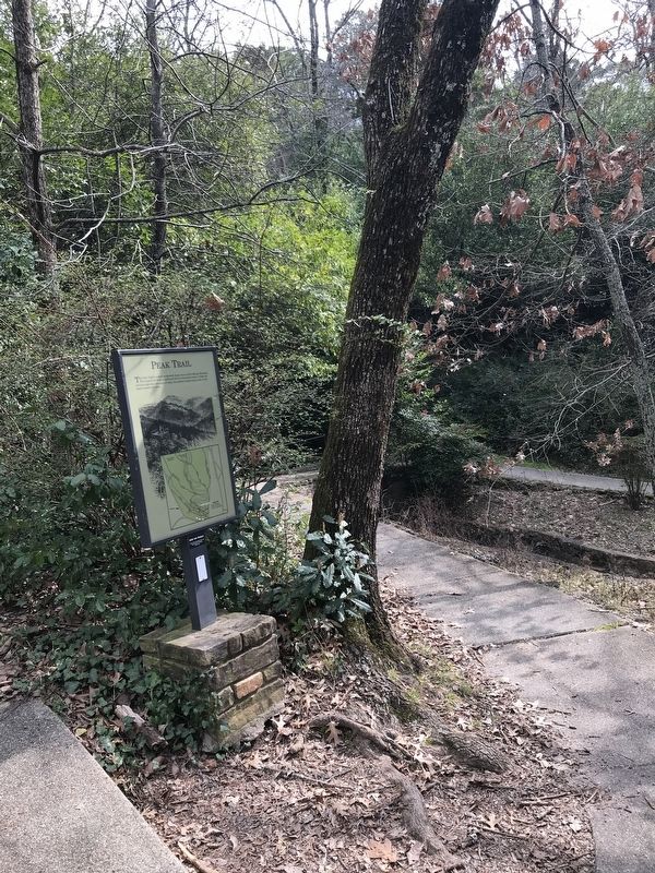
Peak Trail
The Peak Trail is a short, moderately steep route up Hot Springs Mountain.
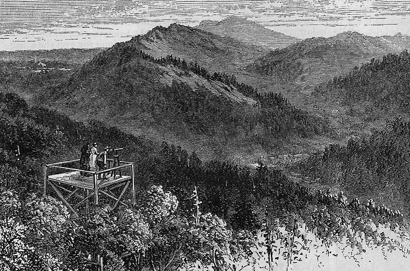
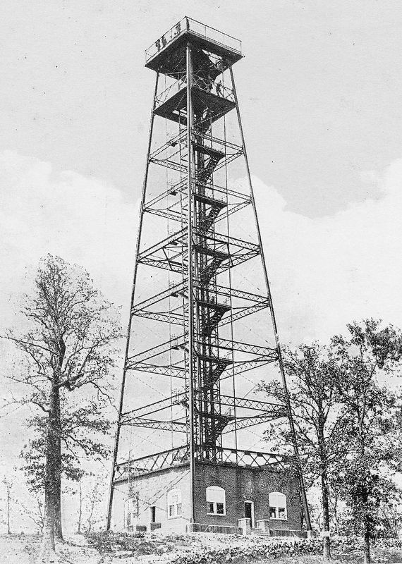
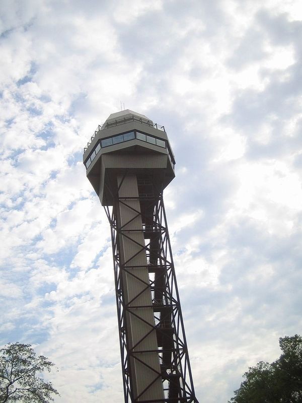
The summit has been a traditional site for observation towers. Unlike the 216-foot-high steel structure of today, the earliest wooden tower of the 1870s barely cleared the trees.
Erected by National Park Service, U.S. Department of the Interior.
Topics. This historical marker is listed in these topic lists: Environment • Horticulture & Forestry • Parks & Recreational Areas. A significant historical year for this entry is 1870.
Location. 34° 30.871′ N, 93° 3.183′ W. Marker is in Hot Springs, Arkansas, in Garland County. Marker is on Grand Promenade Trail, 0.2 miles south of Fountain Street, on the right when traveling south. Touch for map. Marker is at or near this postal address: 329 Central Avenue, Hot Springs National Park AR 71901, United States of America. Touch for directions.
Other nearby markers. At least 8 other markers are within walking distance of this marker. Dead Chief Trail (within shouting distance of this marker); Ral Springs (within shouting distance of this marker); Hale Bathhouse (within shouting distance of this marker); Open Springs (within shouting distance of this marker); Superior Bathhouse (within shouting distance of this marker); The Bandstand (within shouting distance of this marker); Tufa Terrace Trail (within shouting distance of this marker); The Arlington Hotel (within shouting distance of this marker). Touch for a list and map of all markers in Hot Springs.
Credits. This page was last revised on February 22, 2020. It was originally submitted on February 22, 2020, by Steve Masler of Memphis, Tennessee. This page has been viewed 151 times since then and 15 times this year. Photos: 1, 2, 3, 4, 5. submitted on February 22, 2020, by Steve Masler of Memphis, Tennessee. • Devry Becker Jones was the editor who published this page.
