Apache Junction in Pinal County, Arizona — The American Mountains (Southwest)
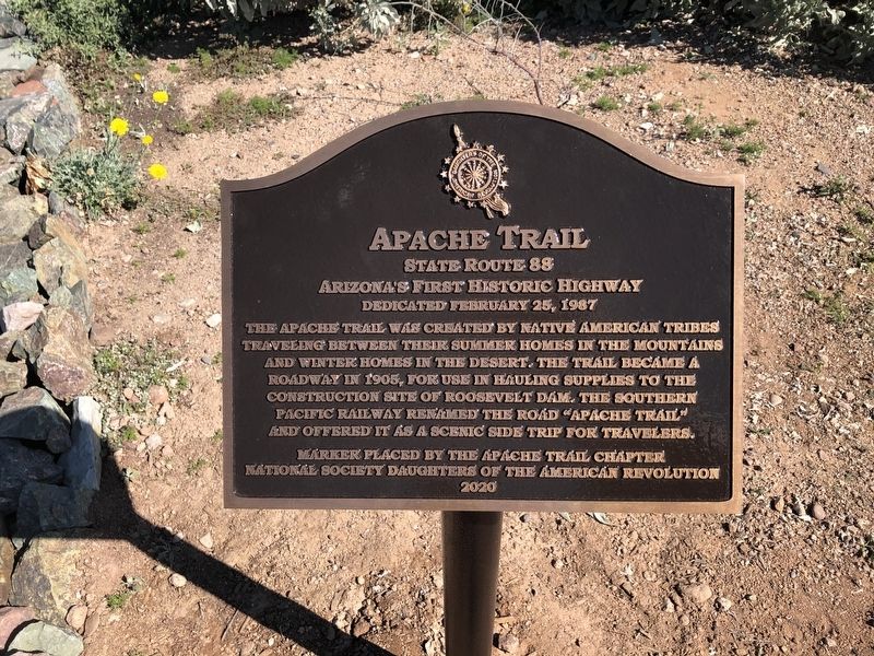
Apache Trail
State Route 88
— Arizona's First Historic Highway / Dedicated February 25, 1987 —
The Apache Trail was created by Native American tribes traveling between their summer homes in the mountains and winter homes in the desert. The Trail became a roadway in 1905, for use in hauling supplies to the construction site of Roosevelt Dam. The Southern Pacific Railway renamed the road "Apache Trail" and offered it as a scenic side trip for travelers.
Marker placed by the Apache Trail Chapter National Society Daughters of the American Revolution
2020
Erected 2020 by Apache Trail Chapter, National Society Daughters of the American Revolution.
Topics and series. This historical marker is listed in these topic lists: Railroads & Streetcars • Roads & Vehicles. In addition, it is included in the Daughters of the American Revolution series list.
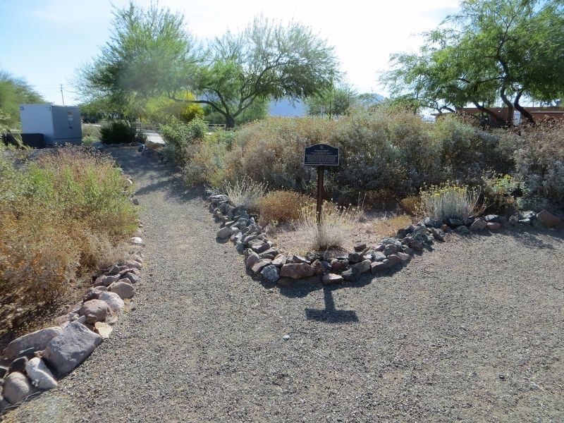
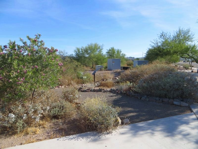
Location. 33° 25.064′ N, 111° 32.856′ W. Marker is in Apache Junction, Arizona, in Pinal County. Marker can be reached from North Apache Trail north of East Old West Highway, on the left when traveling north. Marker is at northeast corner of Flatiron Community Park. Touch for map. Marker is at or near this postal address: 184 N Apache Trail, Apache Junction AZ 85120, United States of America. Touch for directions.
Other nearby markers. At least 8 other markers are within 11 miles of this marker, measured as the crow flies. Jacob Von Walzer (approx. 0.2 miles away); Goldfield Mining District (approx. 3.3 miles away); Superstition Mountain Historical Society (approx. 3.3 miles away); Ghost Town of Goldfield (approx. 4.4 miles away); Bluebird Mine and Gift Shop (approx. 4.4 miles away); a different marker also named Goldfield Mining District (approx. 4.4 miles away); Canyon Lake (approx. 10.3 miles away); Williams Field Honor Roll, Chandler, Arizona (approx. 10.8 miles away). Touch for a list and map of all markers in Apache Junction.
Credits. This page was last revised on May 28, 2020. It was originally submitted on February 26, 2020, by Rochelle Gore of Phoenix, Arizona. This page has been viewed 298 times since then and 20 times this year. Photos: 1. submitted on March 13, 2020, by Rochelle Gore of Phoenix, Arizona. 2, 3. submitted on May 28, 2020, by Bill Kirchner of Tucson, Arizona. • J. Makali Bruton was the editor who published this page.


