Near Geneva in Seminole County, Florida — The American South (South Atlantic)
Central Florida Cattlemen
Photographed by Tim Fillmon, February 25, 2020
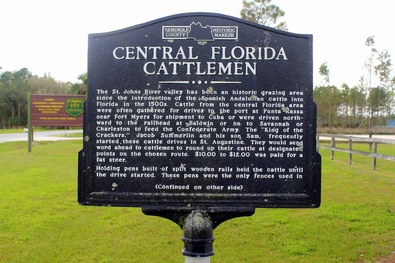
1. Central Florida Cattlemen Marker-Side 1
The St. John’s River valley has been an historic grazing area since the introduction of the Spanish Andalusian cattle into Florida in the 1500’s. Cattle from the central Florida area were often gathered for drives to the port of Punta Rassa near Fort Myers for shipment to Cuba or were driven northward to the railhead at Baldwin or on to Savannah or Charleston to feed the Confederate Army. The “King of the Crackers,” Jacob Summerlin and his son Sam, frequently started these cattle drives in St. Augustine. They would send word ahead to cattlemen to round up their cattle at designated points on the chosen route. $10.00 to $12.00 was paid for a fat steer.
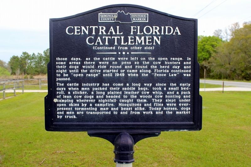
Holding pens built of split wooden rails held the cattle until the drive started. These pens were the only fences used in
this page online
The cattle industry has come a long way since the early days when men packed their saddle bags, took a small bedroll, a slicker, a long plaited leather cow whip, and a pack of lean cow dogs and headed to the woods cow hunting and camping wherever nightfall caught them. They slept under open skies by a campfire. Mosquitos and flies were ever present tormenting man and beast alike. Today horses, dogs and men are transported to and from work and the market by truck.
Erected by Seminole County Historical Commission.
Topics. This historical marker is listed in these topic lists: Agriculture • Animals • Settlements & Settlers • War, US Civil.
Location. 28° 41.203′ N, 81° 6.87′ W. Marker is near Geneva, Florida, in Seminole County. It is on Snow Hill Road (County Route 13) 1.9 miles south of Old Mims Road, on the right when traveling south. Located in the Little Big Econ State Forest Equestrian Center. Touch for map. Marker is at or near this postal address: 1350 Snow Hill Rd, Geneva FL 32732, United States of America.
Photographed by Tim Fillmon, February 25, 2020
2. Central Florida Cattlemen Marker Side 2

Regionally, this marker is in Greater Orlando and in Central Florida. It is also in the American South. Globally, it is in the North Atlantic Region, North America, a Gulf of Mexico state, the Western Hemisphere, the Western World, and the Anglosphere. Historically, it finds itself in what was once New Spain, the territory of the Mississippian Culture, one of the Confederate States of America, and the Antebellum South.
Other nearby markers. At least 8 other markers are within 6 miles of this marker, measured as the crow flies: Veterans Memorial (approx. 3.3 miles away); Chuluota (approx. 3.3 miles away); The First United Methodist Church of Geneva (approx. 3.6 miles away); Fort Lane (approx. 4 miles away); Henry Jackson: Homesteader, Farmer (approx. 5 miles away); Lake Charm (approx. 5.1 miles away); Lake Jesup (approx. 5.7 miles away); Oviedo (approx. 5.8 miles away). Touch for a list and map of all markers in Geneva.
Photographed by Tim Fillmon, February 25, 2020
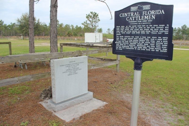
3. Central Florida Cattlemen Marker
Photographed by Tim Fillmon, February 25, 2020
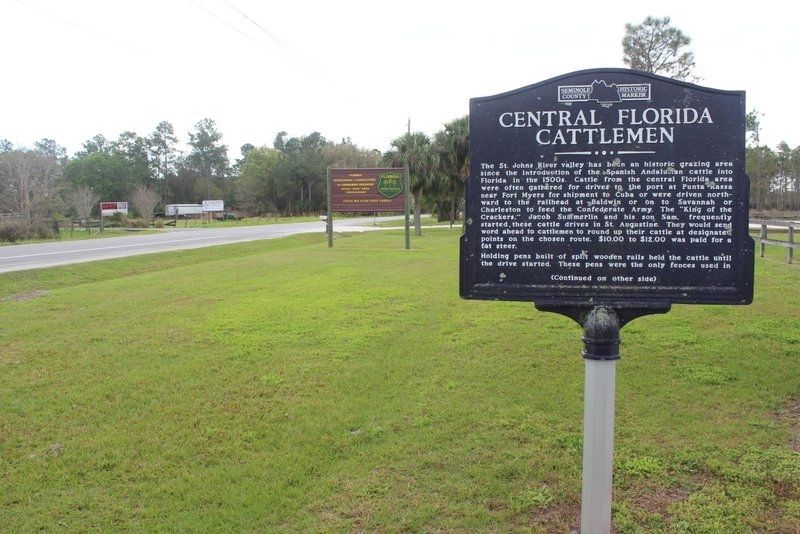
4. Central Florida Cattlemen Marker looking south
Credits. This page was last revised on February 28, 2020. It was originally submitted on February 27, 2020, by Tim Fillmon of Webster, Florida. This page has been viewed 843 times since then and 46 times this year. Photos: 1, 2, 3, 4. submitted on February 27, 2020, by Tim Fillmon of Webster, Florida. • Bernard Fisher was the editor who published this page.
