Near Bancroft in Shiawassee County, Michigan — The American Midwest (Great Lakes)
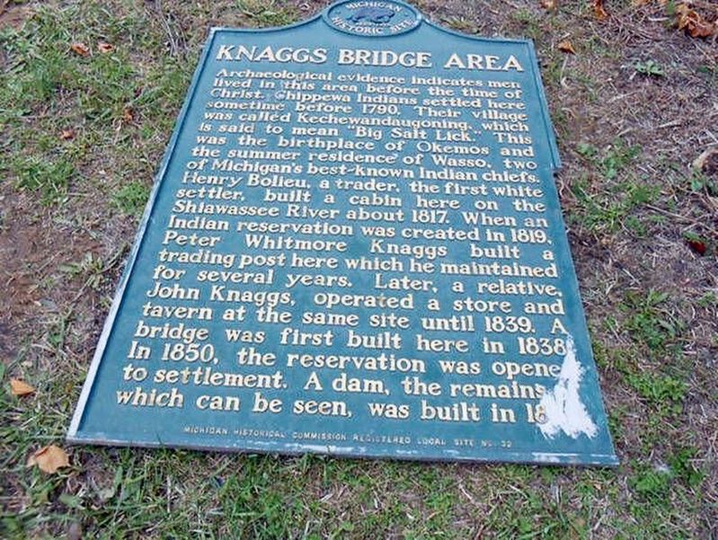
Knaggs Bridge Area
Erected 1963 by Michigan Historical Commission. (Marker Number L32.)
Topics. This historical marker is listed in these topic lists: Bridges & Viaducts • Native Americans • Settlements & Settlers. A significant historical year for this entry is 1790.
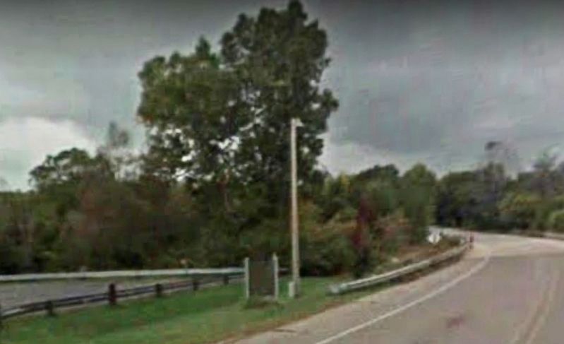
Location. Marker is missing. It was located near 42° 51.658′ N, 84° 1.882′ W. Marker was near Bancroft, Michigan, in Shiawassee County. Marker was on Cole Road west of East Miller Road, on the left when traveling west. Touch for map. Marker was at or near this postal address: Cole Road, Bancroft MI 48414, United States of America. Touch for directions.
Other nearby markers. At least 8 other markers are within 5 miles of this location, measured as the crow flies. A different marker also named Knaggs Bridge Area (a few steps from this marker); Site of the Bancroft School (approx. 1.9 miles away); Bancroft Veterans Memorial (approx. 2.2 miles away); Train E243 Collision (approx. 4.2 miles away); Sandula Clock Tower (approx. 4.2 miles away); Durand Union Station (approx. 4.2 miles away); Southeast 100 Block Saginaw Street (approx. 4.2 miles away); Durand Railroad History / The Knights Templar Special (approx. 4.2 miles away). Touch for a list and map of all markers in Bancroft.
More about this marker. Marker was stolen in 2013 and a month later was found thrown in the Shiawassee River near the county’s Geeck Road Park. It has been in private hands since then and the Michigan Historical Society wants it back since it is damaged. The local Burns Grange #160 plans to replace the marker.
A replacement marker was erected Jul. 31, 2022 with changed text.
Also see . . . The Argus Press article on the missing marker and plans to replace it. The article has a photo of the damaged marker after it was
found. (Submitted on March 1, 2020, by Mark Hilton of Montgomery, Alabama.)
Credits. This page was last revised on August 10, 2022. It was originally submitted on March 1, 2020, by Mark Hilton of Montgomery, Alabama. This page has been viewed 559 times since then and 70 times this year. Photos: 1, 2. submitted on March 1, 2020, by Mark Hilton of Montgomery, Alabama.

