New Paltz in Ulster County, New York — The American Northeast (Mid-Atlantic)
African-American Burial Ground
Photographed by Steve Stoessel, March 1, 2020
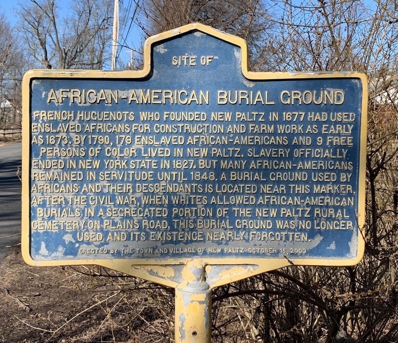
1. African-American Burial Ground Marker
Site of African-American burial ground French Huguenots who founded New Paltz in 1677 had used enslaved Africans for construction and farm work as early as 1673. By 1790, 179 enslaved African-Americans and 9 free persons of color lived in New Paltz. Slavery officially ended in New York State in 1827. But many African-Americans remained in servitude until 1848. A burial ground used by Africans and their descendants is located near this marker. After the Civil War, when whites allowed African-American burials in a segregated portion of the New Paltz Rural Cemetery on Plains Road, this burial ground was no longer used and its existence nearly forgotten.
Erected 2000 by Town and Village of New Paltz.
Topics. This historical marker is listed in these topic lists: African Americans • Cemeteries & Burial Sites • Settlements & Settlers. A significant historical year for this entry is 1677.
Location. 41° 45.553′ N, 74° 5.15′ W. Marker is in New Paltz, New York, in Ulster County. It is on Huguenot Street half a mile north of Mulberry Street, on the right when traveling north. Touch for map. Marker is in this post office
this page online

Regionally, this marker is in Upstate New York and in the Hudson Valley. It is also in the American Northeast, in the Mid-Atlantic, and on the Eastern Seaboard. Globally, it is in the North Atlantic Region, North America, the Western Hemisphere, the Western World, and the Anglosphere. Historically, it finds itself in what was once New Netherland and also one of the original Thirteen Colonies.
Other nearby markers. At least 8 other markers are within walking distance of this marker: 1786 (about 500 feet away, measured in a direct line); Elting Cemetery (about 600 feet away); Freer House (approx. half a mile away); Hasbrouck House (approx. half a mile away); a different marker also named The Reformed Church (approx. half a mile away); Site of Lefevre House (approx. half a mile away); Die Pfalz (approx. half a mile away); Reformed Dutch Church (approx. half a mile away). Touch for a list and map of all markers in New Paltz.
Another marker is no longer nearby. The Reformed Church (was approx. half a mile away but has been replaced with another
Photographed by Steve Stoessel, March 1, 2020
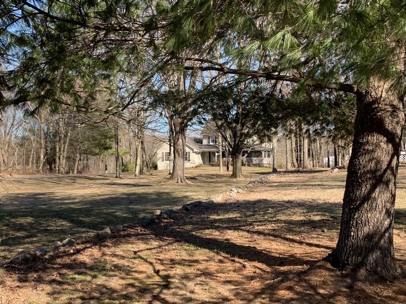
2. African-American Burial Ground Site
Credits. This page was last revised on March 2, 2020. It was originally submitted on March 1, 2020, by Steve Stoessel of Niskayuna, New York. This page has been viewed 1,000 times since then and 65 times this year. Photos: 1, 2. submitted on March 1, 2020, by Steve Stoessel of Niskayuna, New York. • Michael Herrick was the editor who published this page.
