Hagerstown in Washington County, Maryland — The American Northeast (Mid-Atlantic)
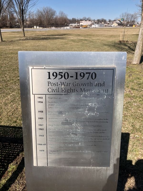
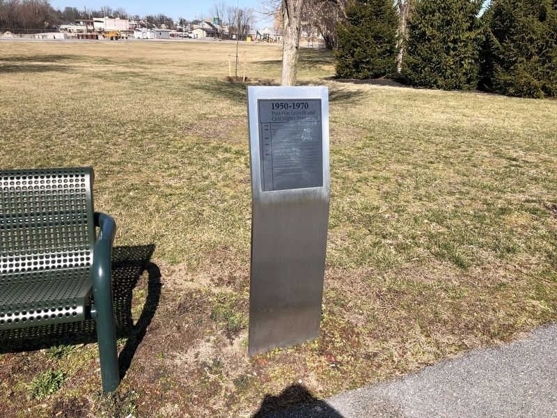
1950-1970
Post-War Growth and Civil Rights Movement
1952
Hagerstown establishes a "sister city" relationship with Wesel, Germany.
1956
South Hagerstown High School opens and begins serving all area children, desegregating the school system. North Hagerstown High School opens on Pennsylvania Avenue in 1958.
1959
An elevated rail line is completed along Walnut Street, providing better connection of the west end of the City with the rest of the community.
1961
Mack Truck opens a large manufacturing facility in Hagerstown.
1962
On July 27th, the first intercontinental satellite telephone call is made between Hagerstown and Wesel, Germany using the Telstar satellite.
1963
The manslaughter trial of William Zontzinger is moved from Baltimore to Hagerstown. His conviction and brief sentence for his role in the death of Hattie Carroll becomes a milestone in the Civil Rights movement.
1966-69
Interstate Highways 70 and 81 are completed through the Hagerstown area.
1970
The population of Hagerstown's suburbs equals the city's population for the first time.
Topics. This historical marker is listed in these topic lists: African Americans • Civil Rights • Education • Industry & Commerce • Settlements & Settlers. A significant historical date for this entry is July 27, 1952.
Location. 39° 37.954′ N, 77° 43.425′ W. Marker is in Hagerstown, Maryland, in Washington County. Marker is on South Potomac Street (Maryland Route 56) north of West Memorial Boulevard, on the left when traveling north. Touch for map. Marker is at or near this postal address: 527 South Potomac Street, Hagerstown MD 21740, United States of America. Touch for directions.
Other nearby markers. At least 8 other markers are within walking distance of this marker. 1970-1990 (a few steps from this marker); 1930-1950 (a few steps from this marker); 1990-2010 (within shouting distance of this marker); 1910-1930 (within shouting distance of this marker); 1830-1850 (within shouting distance of this marker); Winslow Forthman Burhans, Sr. (within shouting distance of this marker); Florence Wall MacMichael Myers McCoy (within shouting distance of this marker); Clara Holmes Jenness Hamilton (within shouting distance of this marker). Touch for a list and map of all markers in Hagerstown.
Credits. This page was last revised on July 20, 2020. It was originally submitted on March 2, 2020, by Devry Becker Jones of Washington, District of Columbia. This page has been viewed 156 times since then and 29 times this year. Photos: 1, 2. submitted on March 2, 2020, by Devry Becker Jones of Washington, District of Columbia.

