Sheet Harbour in Halifax Region, Nova Scotia — The Atlantic Provinces (North America)
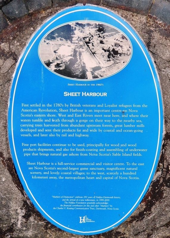
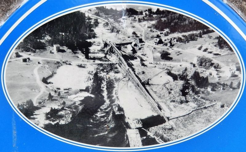
Sheet Harbour
Fine port facilities continue to be used, principally for wood and wood products shipments, and also for finish-coating and assembling of underwater pipe that brings natural gas ashore from Nova Scotia's Sable Island fields.
Sheet Harbour is a full-service commercial and visitor centre. To the east are Nova Scotia's second-largest game sanctuary, magnificent natural scenery, and lovely coastal villages; to the West, scarcely a hundred kilometers away, the metropolitan heart and capital of Nova Scotia.
and the arrival of a new millennium, in 1999-2000.
The Halifax Foundation gratefully acknowledges
the financial contribution for this and other "Markers" by
the Charles V. Keating Communication Trust, Dartmouth, Nova Scotia.
Erected by The Halifax Foundation and the Charles V. Keating Communication Trust.
Topics. This historical marker is listed in these topic lists: Industry & Commerce • Settlements & Settlers • War, US Revolutionary • Waterways & Vessels.
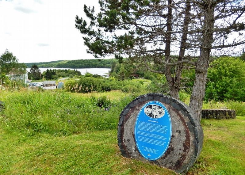
Location. 44° 55.628′ N, 62° 32.629′ W. Marker is in Sheet Harbour, Nova Scotia, in Halifax Region. Marker can be reached from Marine Drive (Nova Scotia Trunk Highway 7), 0.3 kilometers east of Highway 224, on the right when traveling east. Marker is located on the grounds of the MacPhee House Museum & Visitor Centre, near the west side of the parking lot. Touch for map. Marker is at or near this postal address: 22404 Nova Scotia Trunk Highway 7, Sheet Harbour NS B0J 3B0, Canada. Touch for directions.
Other nearby markers. At least 8 other markers are within 19 kilometers of this marker, measured as the crow flies. The Pulp & Paper Industry (here, next to this marker); Lumbering & Sawmills (a few steps from this marker); The Community (a few steps from this marker); Salmon (within shouting distance of this marker); Shipbuilding & Shipping (approx. 1.5 kilometers away); Hydroelectric Power (approx. 1.5 kilometers away); Early Settlement (approx. 1.5 kilometers away); Prince Alfred Arch / L'Arche Prince Alfred (approx. 18.3 kilometers away). Touch for a list and map of all markers in Sheet Harbour.
Related markers. Click here for a list of markers that are related to this marker. Sheet Harbour, Nova Scotia
Also see . . . Sheet Harbour, Nova Scotia (Wikipedia). Almost all of the present land area of Sheet Harbour was granted in 1773, and the settlement was established around 1784, by Loyalist refugees and British veterans of the American Revolution and became a prosperous centre for the lumber industry. The Mi'kmaq name for the area was Weijooik, which translates to "flowing wildly". (Submitted on March 4, 2020, by Cosmos Mariner of Cape Canaveral, Florida.)
Credits. This page was last revised on March 4, 2020. It was originally submitted on March 3, 2020, by Cosmos Mariner of Cape Canaveral, Florida. This page has been viewed 245 times since then and 41 times this year. Photos: 1. submitted on March 3, 2020, by Cosmos Mariner of Cape Canaveral, Florida. 2, 3. submitted on March 4, 2020, by Cosmos Mariner of Cape Canaveral, Florida.


