Sheet Harbour in Halifax Region, Nova Scotia — The Atlantic Provinces (North America)
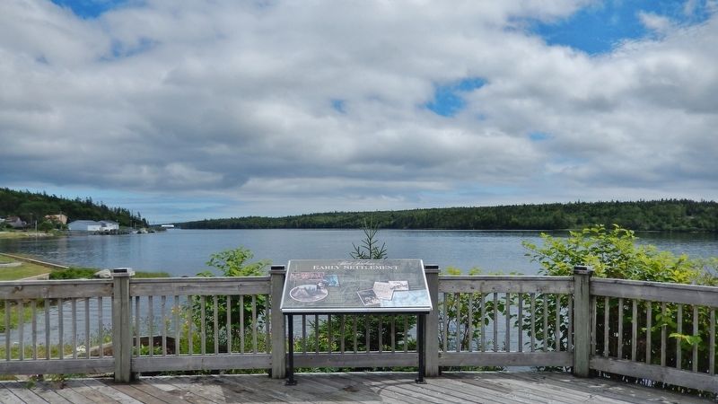
Early Settlement
— Sheet Harbour —
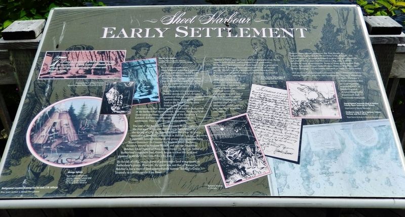
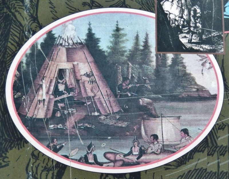
Prior to white settlement, Sheet Harbour served as a summer hunting and fishing ground for the Mi’kmaq. However, the arrival of white settlers changed the Mi’kmaq way of life, as their access to the land and rivers was restricted and their populations decreased.
As early as the 1770s, prosperous Halifax merchants, who envisioned a potential fishing industry on the Eastern Shore, were given grants of land in the Sheet Harbour area. Prior to the American Revolutionary War, every square foot of land on both sides of the harbour had been granted. However, the majority of these early grantees, also members of the Governor's Council, did little to encourage land cultivation or settlement. This would change in the 1780s.
The end of the American Revolutionary War brought the first wave of Loyalist migration to Nova Scotia. In the spring of 1784, the Royal Garrison Battalion, formerly stationed at Bermuda, disbanded in Halifax. Led by Lieutenant James Sutherland, the group petitioned the Nova Scotia Governor-in-Council for lands at Sheet Harbour, formerly owned by Andrew Watson and the late Johnathan Belcher, Chief Justice of Nova Scotia from 1754 to 1776. Some of Sutherland's regiment had already begun to clear the land and planned to divide it into lots of 60 x 80 feet.
By the fall of 1784, 12,250 acres of government land was granted to Sutherland's group. However, the grant was not that of Watson's or Belcher's, but a tract of land appropriately named "Soldier's Grant," located 1 to 5 miles up the East River.
“Soldier's Grant” was far from ideal land for settlement. Rocky terrain, infertile soil, and uncleared fields presented a challenge to the regiment and their families, who were given provisions of food and farming supplies for an 18-month period. The settlement was named Campbelltown, after William Lord Campbell, Captain and Governor-in-Chief of Nova Scotia from 1766 to 1772.
Although the area had drawbacks, it was rich in forested land, while the East and West Rivers provided an excellent system of transportation, and one of the best Atlantic salmon runs in the province. The harbour also had an abundance of fish such as cod, haddock, mackerel, and smelts.
Despite these natural resources, the first decade at Campbelltown proved difficult for these Irish, English, and Scottish settlers, as crops were hard to grow and provisions ran out. Out of the 60 men who arrived in 1784, only 11 would remain to carry on settlement. Some of those settlers were Neil Curry,
Alexander Fraser, James Logan, Duncan MacPhee, and Simon Rutledge — all surnames still used at Sheet Harbour today.
The settlers that remained continued to build their community, adding churches, schools, and businesses. They took advantage of Sheet Harbour's natural resources that led to prosperous industries such as lumbering and shipbuilding in the nineteenth and twentieth centuries.
(photo captions)
• Loyalists drawing lots for land, C.W. Jefferys. (background image)
[Nova Scotia Archives & Records Management]
• Interior of a wigwam.
[Courtesy Charles P. de Volpi Collection, Special Collections, Dalhousie University Libraries]
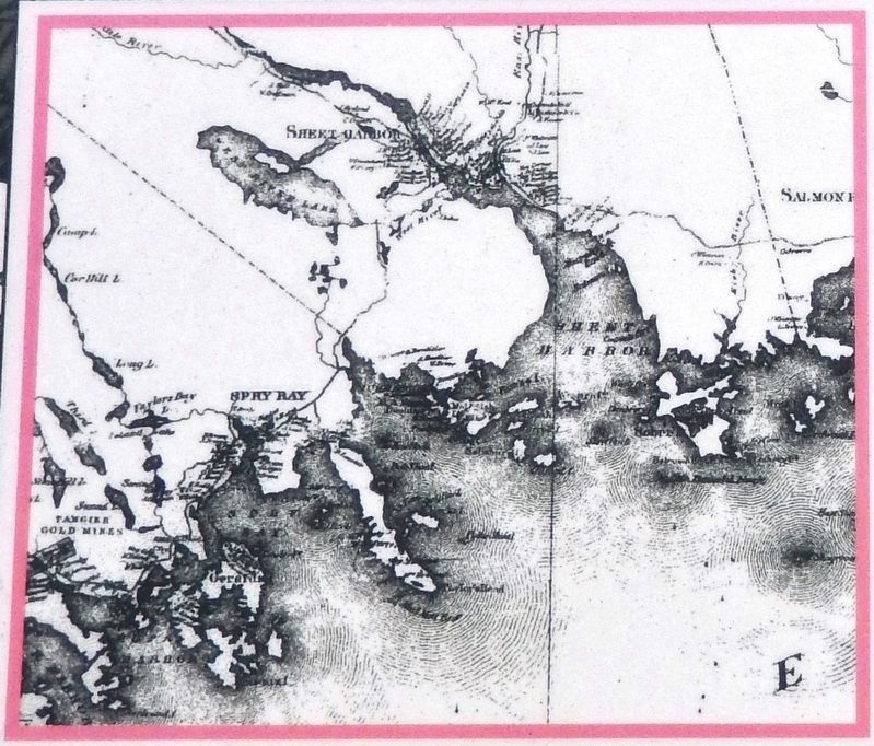
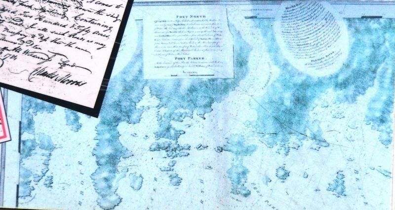
• Sheet Harbor land grants, of Alex Sutherland and others.
[Nova Scotia Archives & Records Management]
Topics. This historical marker is listed in these topic lists: Colonial Era • Industry & Commerce • Native Americans • Settlements & Settlers.
Location. 44° 55.054′ N, 62° 31.781′ W. Marker is in Sheet Harbour, Nova Scotia, in Halifax Region. Marker is on Marine Drive (Nova Scotia Trunk Highway 7), 0.1 kilometers west of Church Point Road, on the left when traveling west. Marker is located in a small interpretive plaza on the south side of the highway, overlooking the Northwest
Arm of Sheet Harbour. Touch for map. Marker is at or near this postal address: 22746 Nova Scotia Trunk Highway 7, Sheet Harbour NS B0J 3B0, Canada. Touch for directions.
Other nearby markers. At least 8 other markers are within 19 kilometers of this marker, measured as the crow flies. Hydroelectric Power (here, next to this marker); Shipbuilding & Shipping (a few steps from this marker); Sheet Harbour (approx. 1.5 kilometers away); The Pulp & Paper Industry (approx. 1.5 kilometers away); Lumbering & Sawmills (approx. 1.6 kilometers away); The Community (approx. 1.6 kilometers away); Salmon (approx. 1.6 kilometers away); Prince Alfred Arch / L'Arche Prince Alfred (approx. 18.2 kilometers away). Touch for a list and map of all markers in Sheet Harbour.
Related markers. Click here for a list of markers that are related to this marker. Sheet Harbour, Nova Scotia
Also see . . . History of Nova Scotia: Mi'kmaq (Wikipedia). The Mi'kmaq lived in an annual cycle of seasonal movement between living in dispersed interior winter camps and larger coastal communities during the summer. The climate was unfavourable for agriculture, and small semi-nomadic bands of a few matrilineality related families subsisted on fishing and hunting. The Mi'kmaq people inhabited region at the time the first European colonists arrived. Mi'kmaq territory was the first portion of North
America that Europeans exploited at length for resource extraction. (Submitted on March 4, 2020, by Cosmos Mariner of Cape Canaveral, Florida.)
Credits. This page was last revised on March 4, 2020. It was originally submitted on March 3, 2020, by Cosmos Mariner of Cape Canaveral, Florida. This page has been viewed 396 times since then and 38 times this year. Photos: 1. submitted on March 3, 2020, by Cosmos Mariner of Cape Canaveral, Florida. 2, 3, 4, 5. submitted on March 4, 2020, by Cosmos Mariner of Cape Canaveral, Florida.
