Near Mitford in Fairfield County, South Carolina — The American South (South Atlantic)
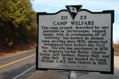
Camp Welfare
This camp ground, described by one journalist as "picturesque, rugged, simple, with an overhanging air of festivity," has hosted an annual camp meeting since 1876; slaves had worshipped here before the Civil War. The site was purchased in 1878 by trustees Carter Beaty, Charles Green, Jeff Gaither, Henry Hall, and John Hall. It was deeded to Camp Wellfair A.M.E. Zion Church in 1925.
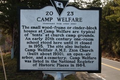
[Reverse]
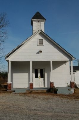
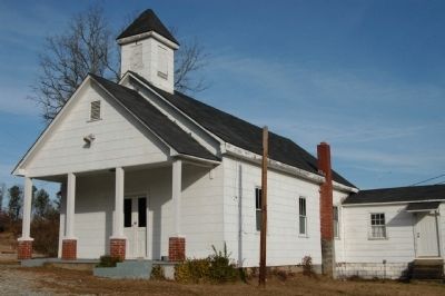
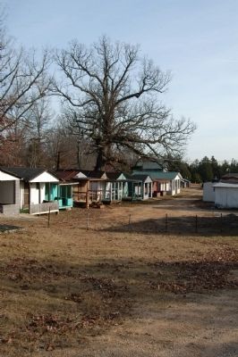
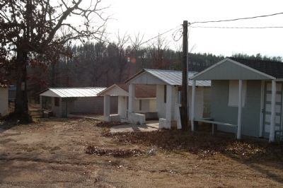
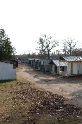
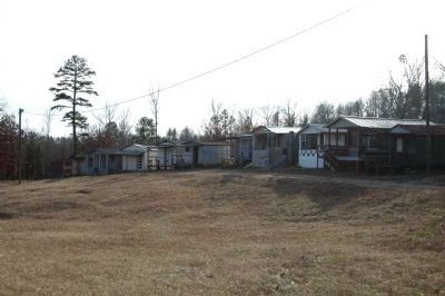
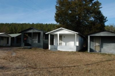
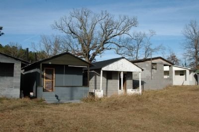
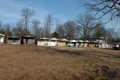
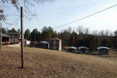
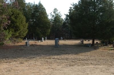
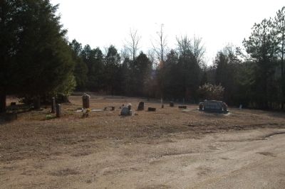
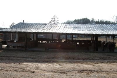
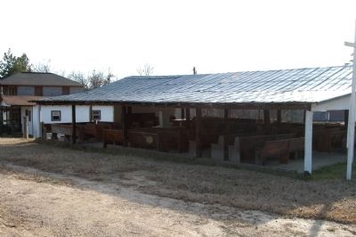
The small wood-frame or cinder-block houses at Camp Welfare are typical of "tents" at church camp grounds. An early 20th century one-room school stood here until it closed in 1955. The site also includes Camp Wellfair A.M.E. Zion Church (built about 1930), an open-air arbor, and a cemetery. Camp Welfare was listed in the National Register of Historic Places in 1984.
Erected 2002 by Fairfield County Historical Society. (Marker Number 20-23.)
Topics and series. This historical marker is listed in these topic lists: African Americans • Cemeteries & Burial Sites • Churches & Religion. In addition, it is included in the African Methodist Episcopal Zion (AME Zion) Church series list. A significant historical year for this entry is 1876.
Location. 34° 29.464′ N, 80° 57.101′ W. Marker is near Mitford, South Carolina, in Fairfield County. Marker is on Camp Welfare Road, 2˝ miles south of Wateree Road, on the right when traveling north. Touch for map. Marker is in this post office area: Winnsboro SC 29180, United States of America. Touch for directions.
Other nearby markers. At least 8 other markers are within 11 miles of this marker, measured as the crow flies. Rocky Mount (approx. 4.6 miles away); Mount Olivet Church (approx. 5 miles away); Graveyard Of The Richmond Covenanter Church Reformed Presbyterian (approx. 5.6 miles away); Battle Of Beckhamville (approx. 7.1 miles away); Alexander's Old Fields (approx. 7.1 miles away); Peay's Ferry / Peay's Ferry Road (approx. 8˝ miles away); Catholic Presbyterian Church (approx. 9.7 miles away); Battle of Fishing Creek (approx. 10.4 miles away).
Also see . . . South Carolina Department of Archives and History. (Submitted on December 16, 2008, by Michael Sean Nix of Spartanburg, South Carolina.)
Credits. This page was last revised on August 24, 2022. It was originally submitted on December 15, 2008, by Michael Sean Nix of Spartanburg, South Carolina. This page has been viewed 2,257 times since then and 100 times this year. Last updated on December 22, 2008, by Michael Sean Nix of Spartanburg, South Carolina. Photos: 1, 2. submitted on December 15, 2008, by Michael Sean Nix of Spartanburg, South Carolina. 3, 4, 5, 6, 7, 8, 9, 10, 11, 12, 13, 14, 15, 16. submitted on December 16, 2008, by Michael Sean Nix of Spartanburg, South Carolina. • Kevin W. was the editor who published this page.
