Sheet Harbour in Halifax Region, Nova Scotia — The Atlantic Provinces (North America)
Hydroelectric Power
— Sheet Harbour —
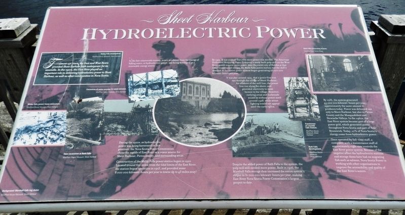
For almost 150 years, the East and West Rivers provided Sheet Harbour with waterpower for its sawmills. In the 1920s, the East River played an important role in delivering hydroelectric power to Sheet Harbour, as well as other communities in Nova Scotia.
In the late nineteenth century, power produced from the energy of falling water, or hydroelectric power, was being developed as a renewable energy source.
During the 1920s, as hydroelectric power was being harnessed in this province, the Nova Scotia Power Commission chose the rapids of East River as a power source for Sheet Harbour, Pictou county, and surrounding areas.
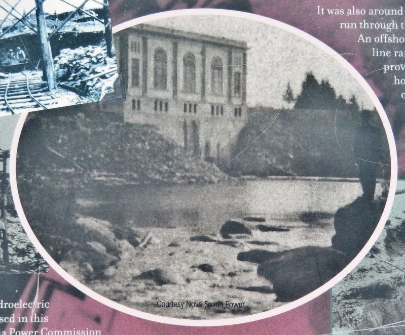
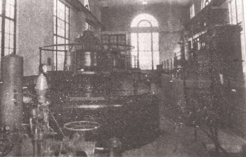
Construction of the Malay Falls power station began in 1922. Located around five miles from the tidal limits of the East River, the station began operation in 1923, and provided some 8,000,000 kilowatt-hours per year to towns up to 43 miles away!
By 1925, it was evident that even more power was needed. The American Perforated Wrapping Paper Company's newly built pulp mill on the West River would require more power than the entire city of Halifax at that time! Constructed in 1925 the Ruth Falls power station met the mill’s demand as the entire power system began generating 23,000,000 kilowatt-hours per year.
It was also around 1925, that a power line was run through the village of Sheet Harbour. An offshoot of the mill line, the power line ran along the shore, and provided electricity to most homes in the village. However, outlying areas and backroads would be without power until around 1928, while street lighting would not appear until the early 1930s.
Despite the added power of Ruth Falls to the system, the pulp mill still needed more power. Built in 1926, the Marshall Falls storage dam increased the entire system’s output to 31,000,000 kilowatt-hours per year, making East River Nova Scotia Power Commission's largest project to date.
By 1936, the system generated 45,000,000 kilowatt-hours per year, approximately the same amount it produces today. Power was delivered not only to Sheet Harbour, but also to Pictou County and the Musquodoboit and Stewiacke Valleys. In the 1960s, the East River system became part of a large power grid, which generated power throughout Nova Scotia and part of New Brunswick. Today, 10% of Nova Scotia's energy comes from hydroelectric power.
Once operated by full-time staff, a computer, with a maintenance staff of approximately eight now controls the East River power system. Because of the negative affect the hydroelectric stations and storage dams have had on migrating fish such as salmon, Nova Scotia Power is working with other organizations to improve the accessibility and quality of the East River’s waters.
(photo captions:)
• Marshall Falls log sluice. (background image)
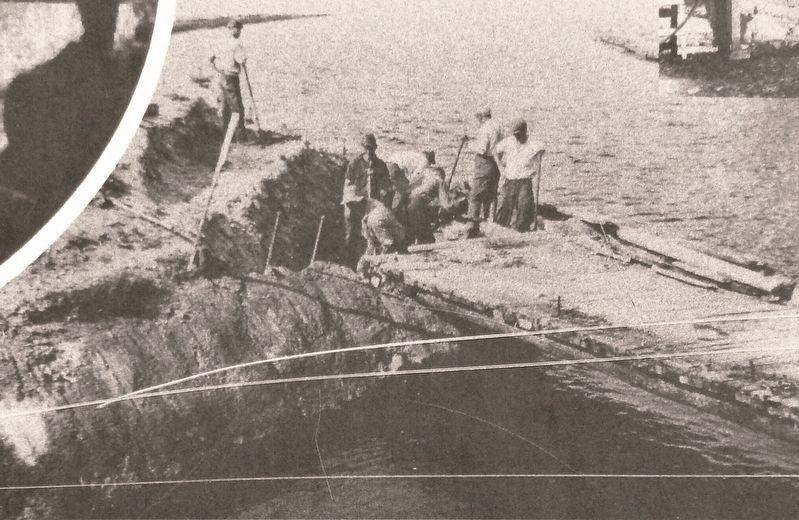
• Excavation of water passage to canal entrance.
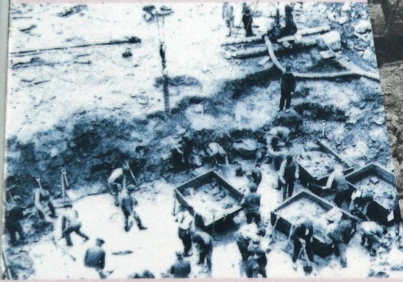
• Dam excavation at Ruth Falls.
• Transformer at Liscomb Falls Station.
• Ruth Falls development.
*above photos courtesy MacPhee House Museum, Sheet Harbour
Topics. This historical marker is listed in these topic lists: Industry & Commerce • Waterways & Vessels.
Location. 44° 55.055′ N, 62° 31.784′ W. Marker is in Sheet Harbour, Nova Scotia, in Halifax Region. Marker is on Marine Drive (Nova Scotia Trunk Highway 7), 0.1 kilometers west of Church Point Road, on the left when traveling west. Marker is located in a small interpretive plaza on the south side of the highway, overlooking the Northwest Arm of Sheet Harbour. Touch for map. Marker is at or near this postal address: 22746 Nova Scotia Trunk Highway 7, Sheet Harbour NS B0J 3B0, Canada. Touch for directions.
Other nearby markers. At least 8 other markers are within 19 kilometers of this marker, measured as the crow flies. Shipbuilding & Shipping (here, next to this marker); Early Settlement (here, next to this marker); Sheet Harbour (approx. 1.5 kilometers away); The Pulp & Paper Industry (approx. 1.5 kilometers away); Lumbering & Sawmills (approx. 1.6 kilometers away); The Community (approx. 1.6 kilometers away); Salmon (approx. 1.6 kilometers away); Prince Alfred Arch / L'Arche Prince Alfred (approx. 18.2 kilometers away). Touch for a list and map of all markers in Sheet Harbour.
Related markers. Click here for a list of markers that are related to this marker. Sheet Harbour, Nova Scotia
Credits. This page was last revised on November 7, 2022. It was originally submitted on March 3, 2020, by Cosmos Mariner of Cape Canaveral, Florida. This page has been viewed 663 times since then and 82 times this year. Last updated on March 5, 2020, by Craig Baker of Sylmar, California. Photos: 1. submitted on March 3, 2020, by Cosmos Mariner of Cape Canaveral, Florida. 2, 3, 4, 5, 6. submitted on March 4, 2020, by Cosmos Mariner of Cape Canaveral, Florida. • J. Makali Bruton was the editor who published this page.
